Location: Central Valais, on the left bank of the Rhone above Mase
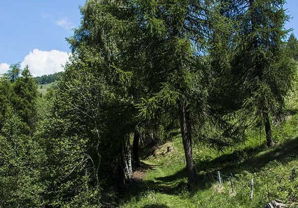
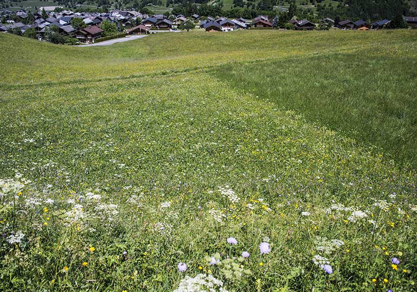
Description: easy hike through beautiful flower meadows and a beautiful forest
Total length: about 4 km
Walking time: 2 hours
Positive difference in height: 275 meters
National hiking map 1: 50’000: Montana 273
Best period: May to October
Difficulty: T2

Start
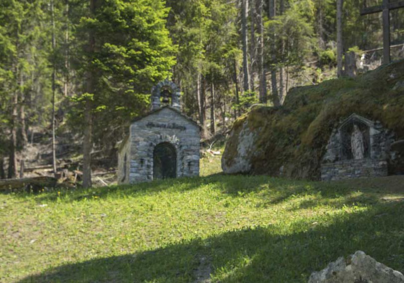
To walk this route we recommend to start village of Mase. From the parking lot of the Mase church and the L’Eglise postal stop, follow the village road for a few meters and take a path which runs along the left of the first house upstream of the road (indication of KATA route ). Climb towards the carriage road (100 meters) and turn right (south) to join the Ligérette path (indication). Follow this uphill path across fields to a carriage road. Continue north-east and in the hairpin follow the Vernamiège sign following a downhill forest road. At the oratory of Notre Dame of Fatima, leave the forest road and follow a forest path that begins in the middle of the flat in the hairpin below the Oratory. This path crosses the OMBRIN forest. This path joins the Mayens de Vernamiège road which you have to follow downhill to a hairpin (300 meters) to take a forest road towards the Oratory of Notre Dame de Fatima. After 500 meters of climb, the route joins a hairpin, 150 meters after the hairpin follow a path on the right (upstream of the road) through the forest to join the carriage road taken at the start of the route . Descend to the fork in the Pires-Grauche path and descend by the uphill path to the “Les Ligérettes path” fork, do not follow this last path taken on the climb. Continue straight (south) to a hairpin on a road. In the middle of the hairpin, follow the path towards Mase and the starting point.
Practical information
Along the route there are many places that allow the organization of a picnic with a magnificent view of the Val d’Hérens and the Bernese Alps. During May and June, this route is aptly named Champs-Fleuris. The Ligérettes trail is not listed on the maps when this route was published.