Location: Mayens d’Arbaz above Sion on the right bank of the Rhône
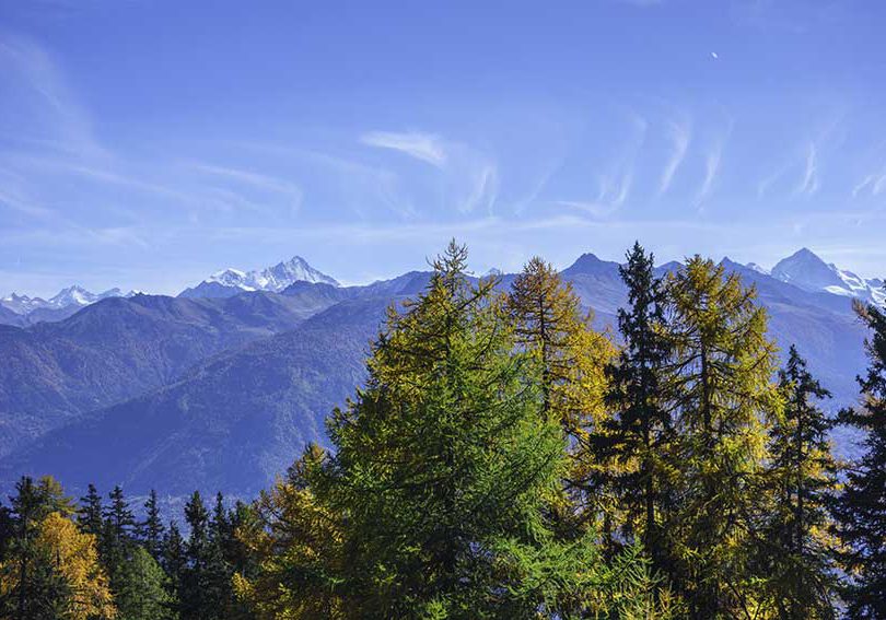
Description: not very difficult hike, which takes place in the valley of Sionne. It is less known than the stars like the valley of Réchy or Derborence, so much less crowded, (which is not unpleasant) and the panorama is sumptuous (from Bietschhorn to Mont Blanc)
Total length: about 10 km
Walking time: 4 to 5 hours
Positive and negative difference in altitude: approx. 800 meters
National hiking map 1: 50’000: 273 T Montana
Best period: June to October
Difficulty : T3 +
Start
After the village of Arbaz, the road follows a hairpin, 200 meters after this pin turn left following the road to Pierre Grosse. (direction tennis and waste). After passing the dump the road (unpaved) follows a pin. Do not turn, go straight.
Follow the direction Les Evouettes and fork Vermenala, Incron. The climb is quite steep until the Alp of Incron. When you arrive in the first clearing of the pasture do not follow the signs for La Comba, etc. Follow the direction of the “panorama” sign and climb to admire the spectacular foothills of Prabé. Do not go down again, take a path that goes behind the last chalet and goes to point 1817, where the panoramic spectacle. starts. This path that you take joins a forest road that you follow uphill. Once arrived at point 1817, the place is ideal for a picnic. Then follow the road downhill to Deylon. Attention, first you follow a road downhill and thereafter, a path that starts flat and begins upstream of the road in a pin. (there is no indication, point 1735). At Deylon, do not get off, follow the uphill path towards point 1953 (there is no indication). Before reaching the bifurcation point 1953, the route is not very obvious because it is an alp and there are many traces of farm animals. The descent path on the Comba is quite easy to find. Once in La Comba, follow Les Evouettes and thereafter, the general direction you have taken for the climb.
Swiss public transport timetable Departure Sion Arrival Arbaz, Planèje
Practical information
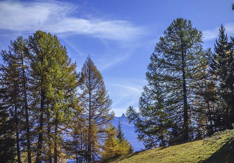
It is from the point 1953 that the panorama is the most spectacular.
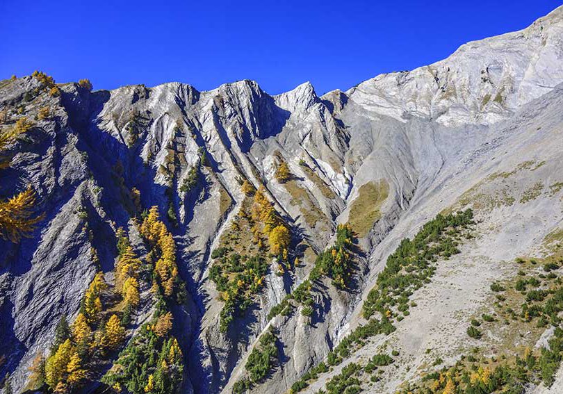
From Deylon to the point 1953, you cross the famous zone which is devoted to the study of the big avalanches, (https://www.rts.ch/info/suisse/8446348-une-avalanche-geante-declenchee-sur-2 -5-kilometers-in-valais.html), as long as there is no snow there is no risk.
If you decide to move by public transport, there is a postal stop in front of the Pierre Grosse road.