La Monta – Arolla

Location
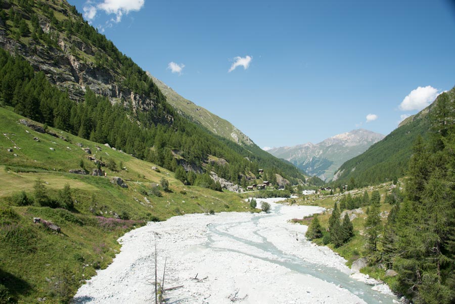
Val d’Hérens, village of Arolla

Descriptif
easy hike

Total length
7 km

Walking time
2-3 hours

Elevation + et –
+/- 317 meters
Altitude: between 1,794 and 1,937 meters
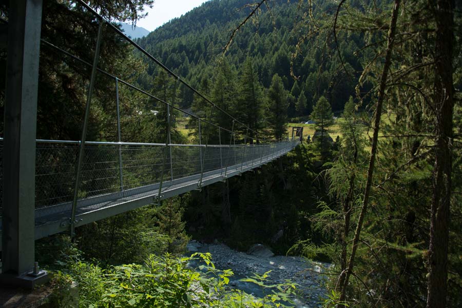
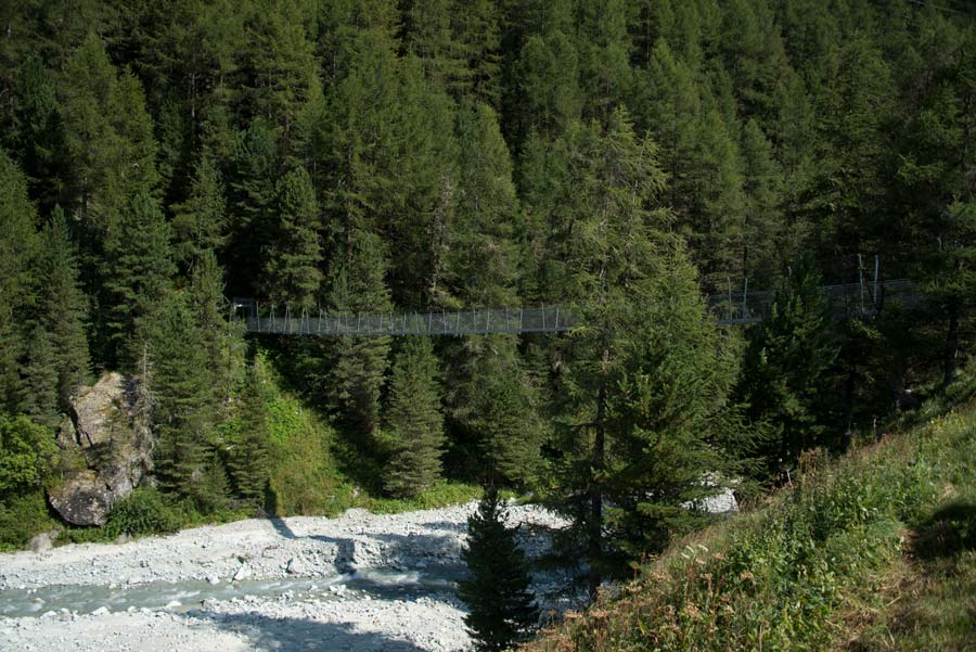
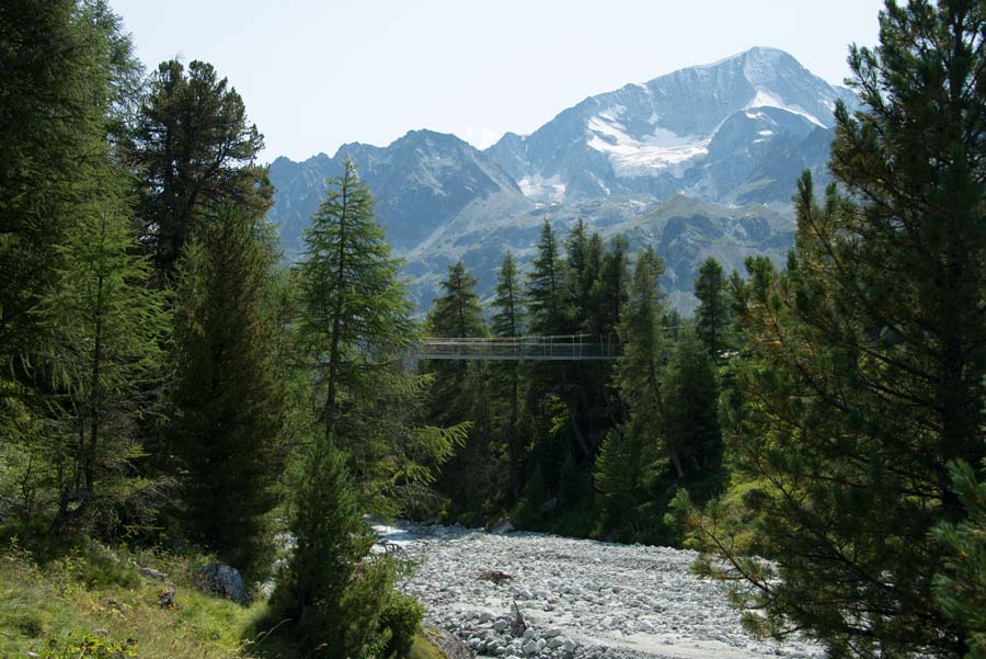
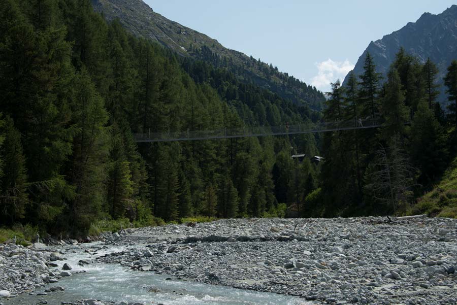
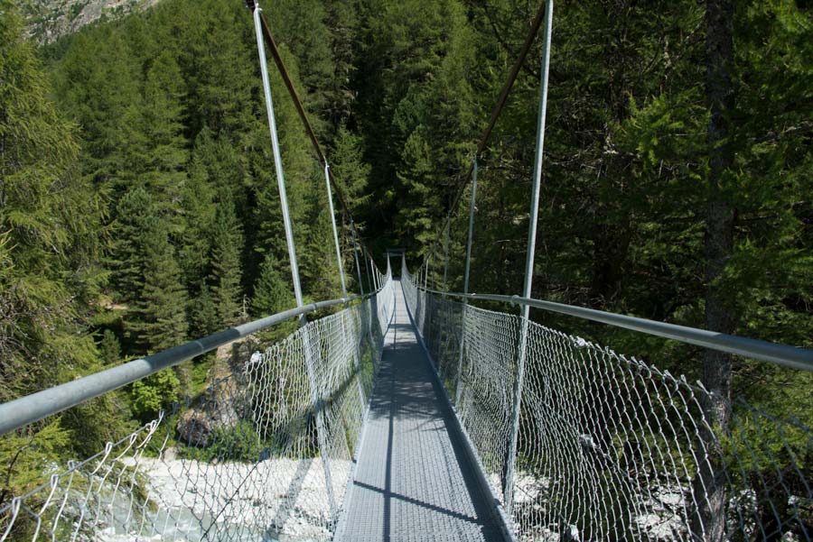
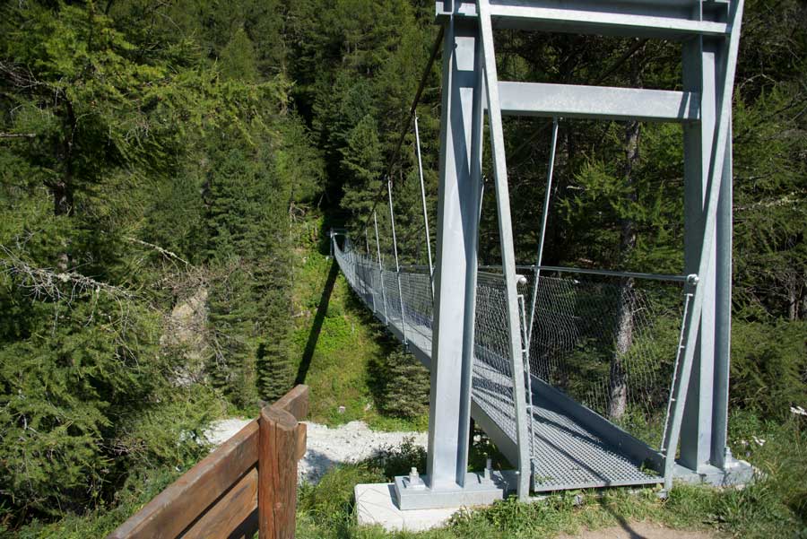
Length and height of the bridge: 75 and 20 meters

National hiking map 1:50’000
283 Arolla

Best period
May to September

Difficulty
T2
Useful information
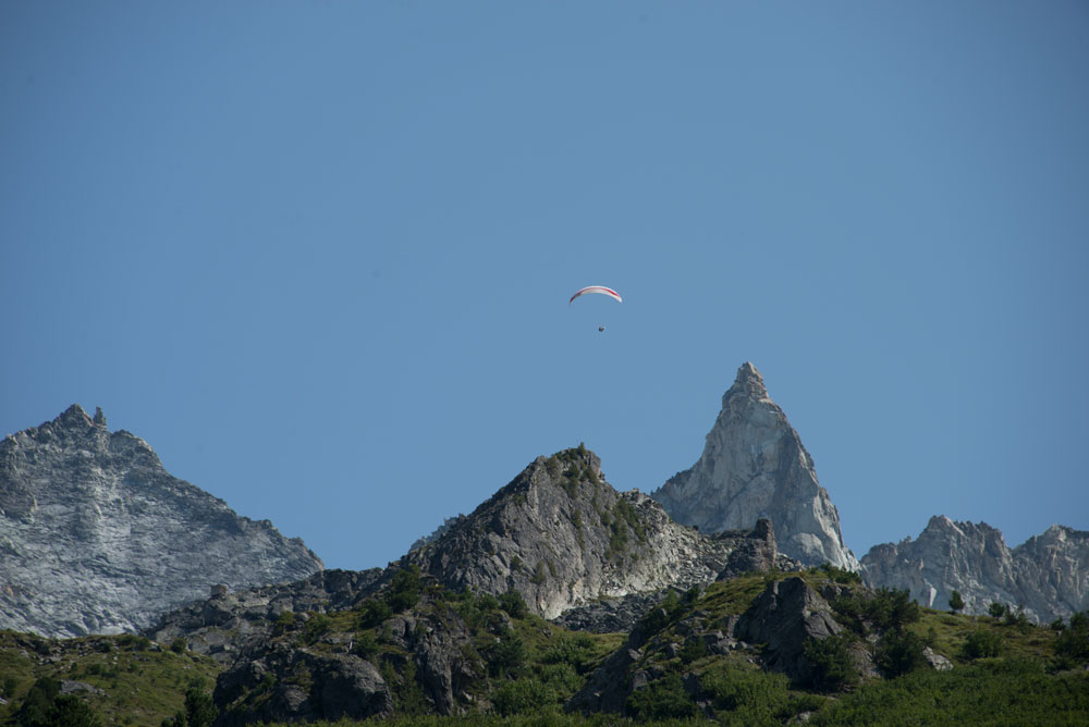
Very nice hike to discover the typical mazots of Val d’Hérens. Beautiful views of the Pigne d’Arolla, Mont Collon, the Aiguille de la Tsa. Many places to organize your picnic.
Itinerary
Departure
The hike begins at the height of the Aiguille de la Tsa hotel and heads down the valley.
Itinerary
Follow towards the hamlet of La Monta and cross the hamlet to reach the suspension bridge. Continue on the right bank of the river towards Pramousse – Satarma. From Satarma continue towards Plan Louché via the right bank. From Plan Louché, cross the river and head towards La Gouille following the road for 100 meters before turning left upstream of the road you are following. Once in the center of the village of La Gouille, take the direction of Satarma, Lac Bleu, until the first junction and follow Satarma. Descend in this last direction, cross the village and the Borgne d’Arolla river to rejoin the route taken on the outward journey and follow it towards Arolla to return to the starting point.