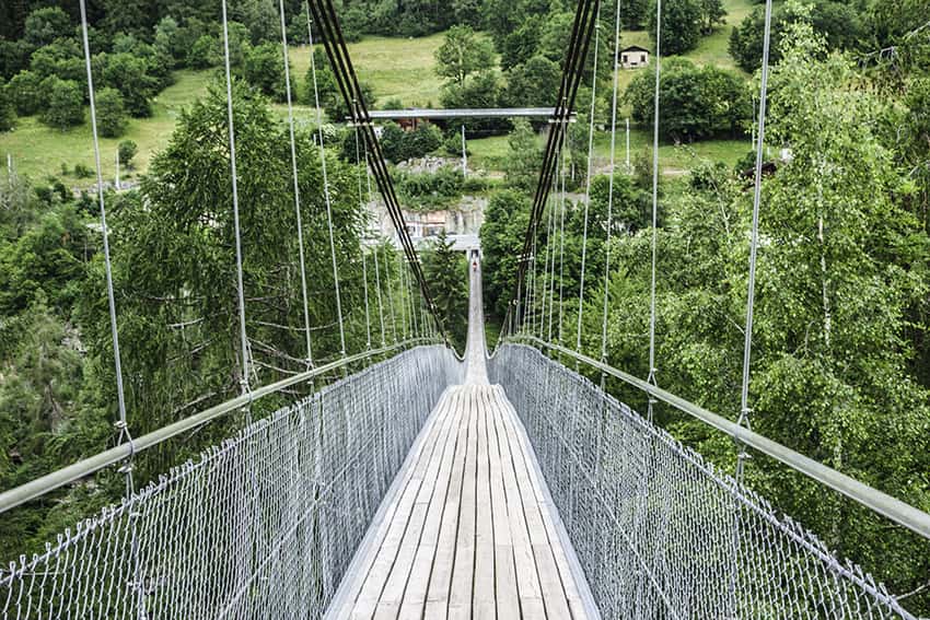
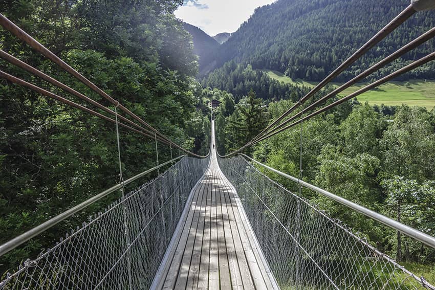
Suspension bridge Furgangen

Location
Upper-Valais, Goms valley, after the village of Fiesh, on the main road at the junction for Bellwald. (parking on site)

Descriptif
–

Total length
about 9 km for the route of the bisse Trusera

Walking time
between 2 and 3 hours depending on the route chosen

Elevation + et –
+/- 432 meters
Altitude: between 1059 and 1350 meters

National hiking map 1:50’000
no. 264 et 265 (Jungfrau et Nufenenpass)

Best period
accessible all year round for the bridge and from May to October for the route of the Bisse de Trusera

Difficulty
T3
Bridge length and height: 280 meters / 92 meters
Useful information
Itinerary
From the car park located at the start of the suspension bridge and after crossing the bridge, there are several possibilities for routes according to your preferences. Either join the bisse of Trusera through the village of Mühlebach and at the end of the bisse make the loop through Niederernen and Ernen, or take a hike between Mühlebach and Ernen.