Tour de l’Argentine

Location
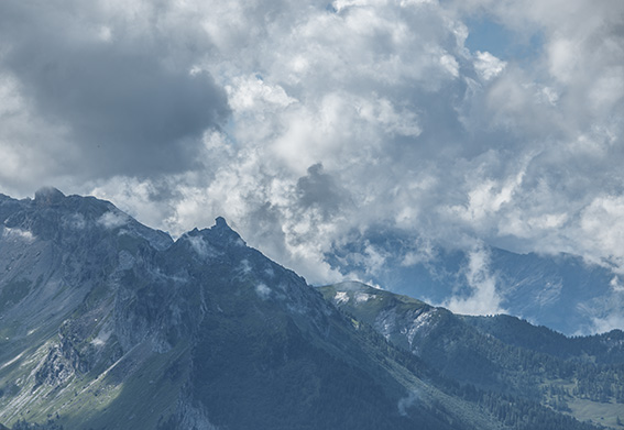
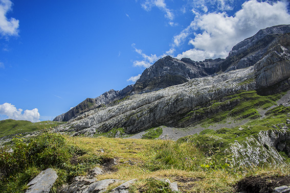
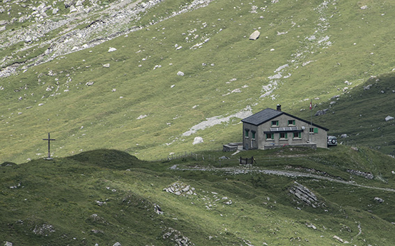
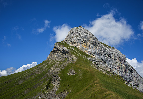
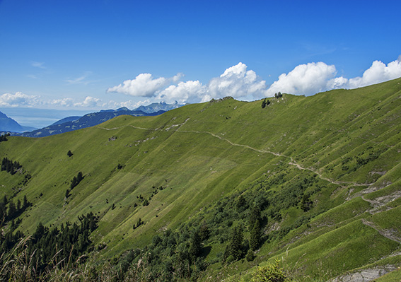
Solalex above Villars

Descriptif
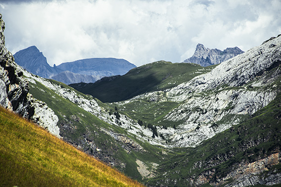
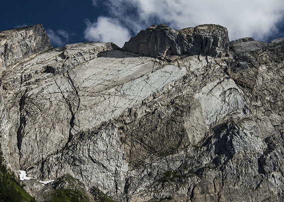
difficult hike, to discover the chain of Argentina and its famous mirror popular with mountaineers. Typical itinerary of the Vaud Alps region.

Total length
about 13 km

Walking time
5 to 6 hours

Elevation + et –
+/-1000 meters

National hiking map 1:50’000
272 St Maurice

Best period
Mai to October (depending on the snow cover)

Difficulty
T3 +
Useful information
This route can be done in both directions. After a period of rain it is recommended to go in the direction of Châtelet Roc, La Motte, La Vare (opposite direction of the route described). Some passages require a secure foot. Walking sticks recommended. From mid-May to the end of September, there are herd protection dogs on the Cheval Blanc Alp / La Vare (how to behave by meeting herd protection dogs)
Itinerary
From Solalex take the direction of the Giacomini refuge and the Col des Essets. Once at the pass Essets, down towards La Vare to the junction for Solalex, Bovonne, La Motte. Then always follow Roc du Châtelet, Solalex, to the starting point.