Horlini

Location
right bank of the Rhone above Albinen in the Upper Valais.

Descriptif
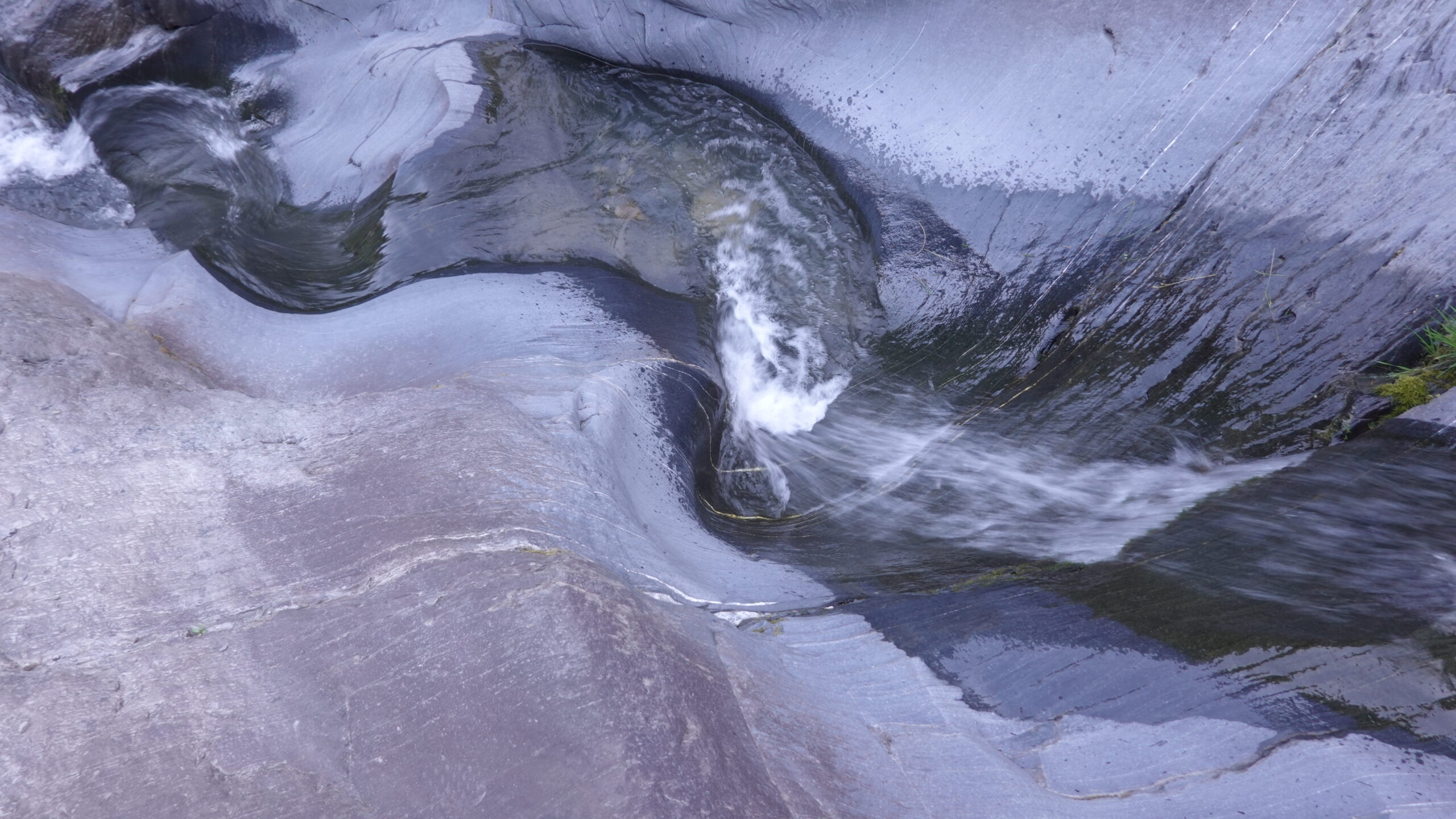
easy trail without technical difficulties. Sometimes poorly marked route.

Total length
41 km-effort

Walking time
21.1 km

Elevation + et –
+/-1,405 m
Altitude: between 1,293 and 2,455 m

National hiking map 1:25’000
Sierre 1287 and Gemmi 1267

Best period
June to November

Difficulty
T3
Useful information
From the proposed route, there are many variations that the adventurous trail runner will be happy to test. Excellent discoveries.
Itinerary
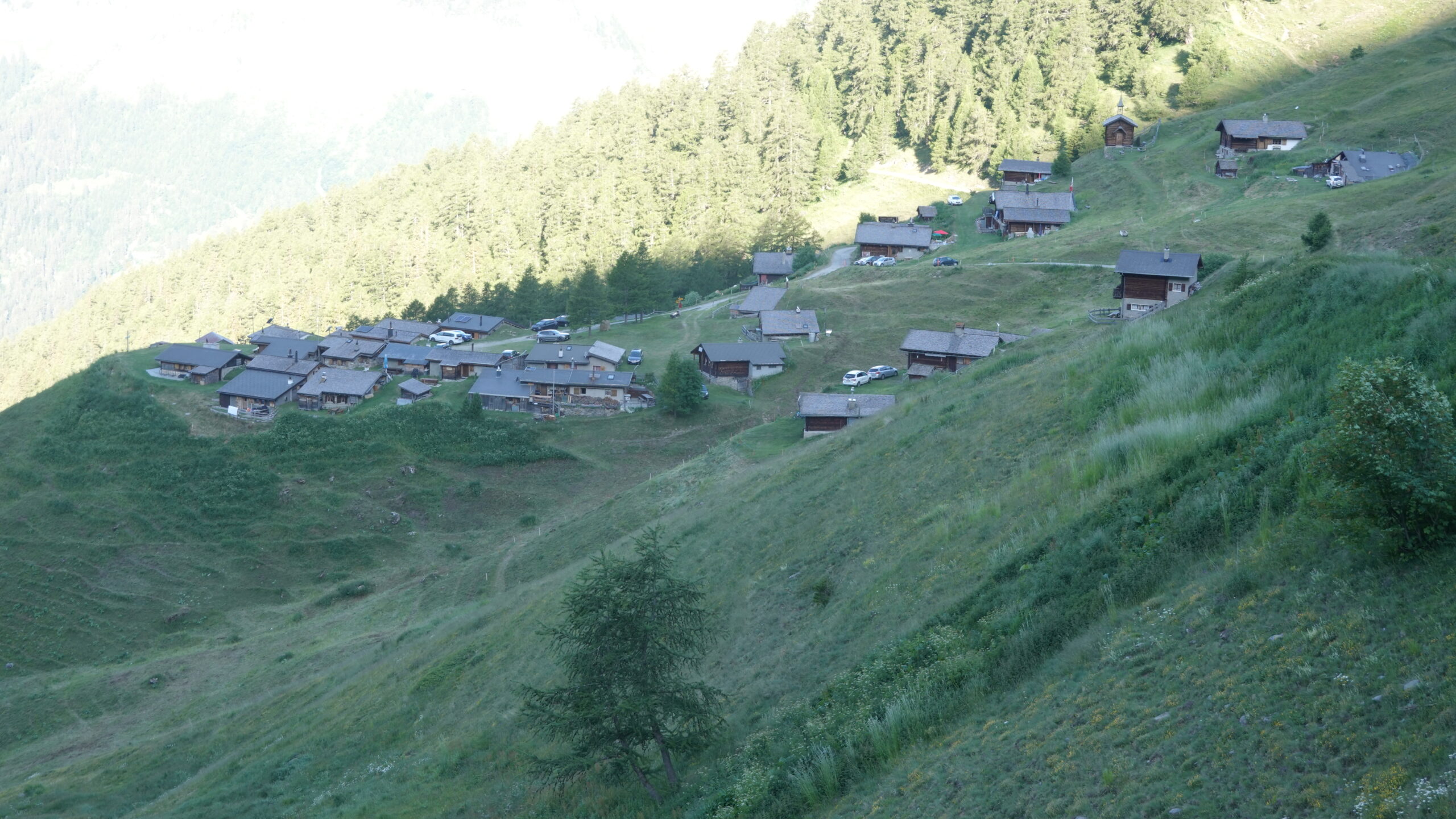
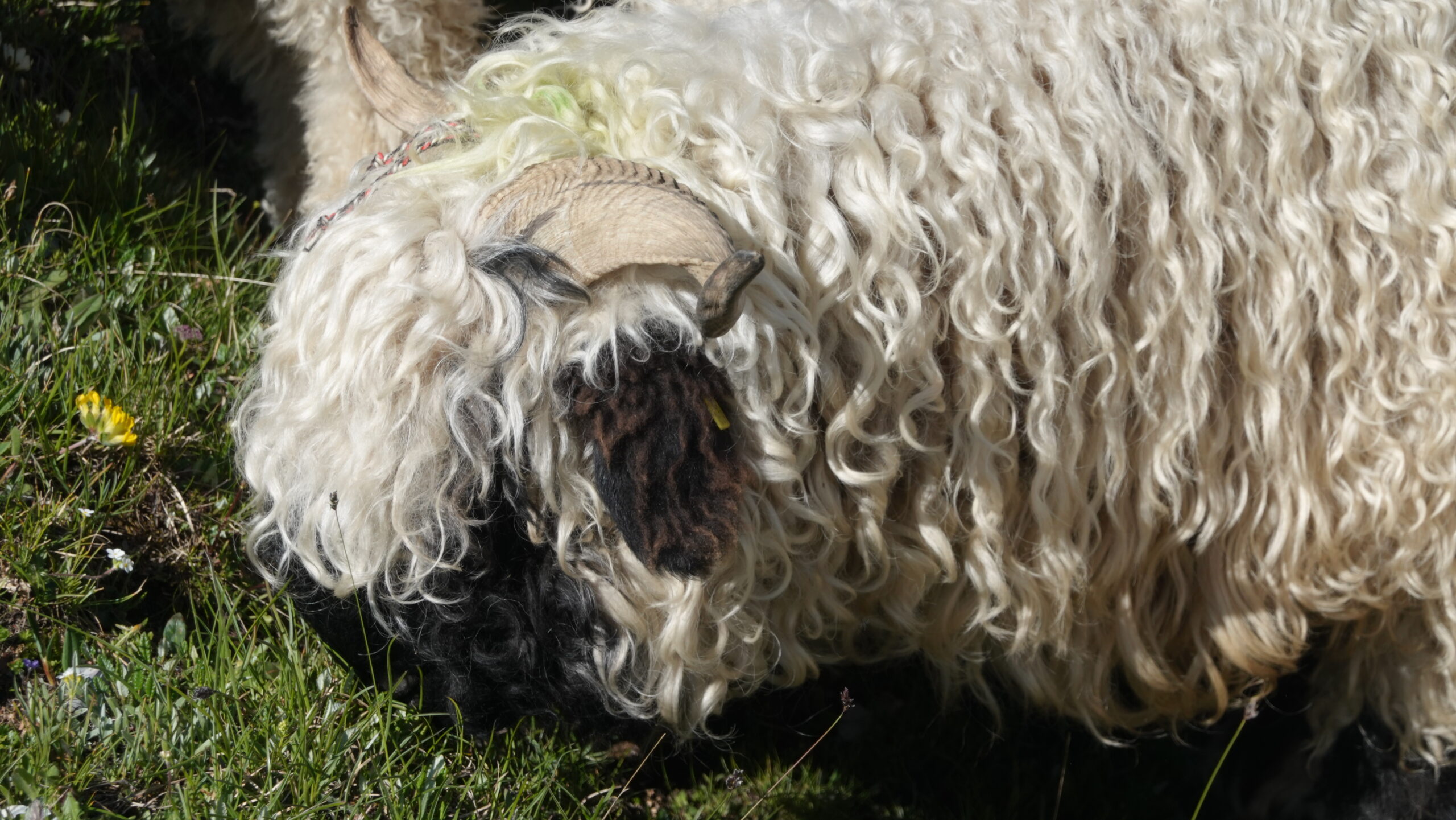
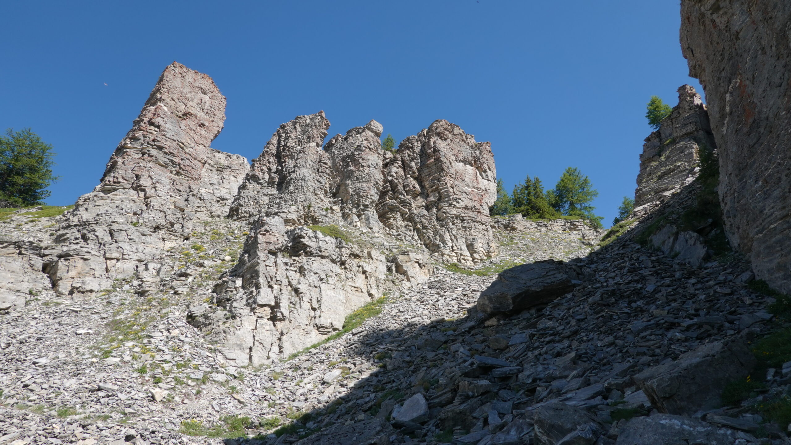
The start is from the parking lot at the entrance to the village of Albinen (2,615,235/1,132,091/1299 m). Cross the village towards the north and continue along a paved-sandy path on your right (point 1311) for 100 m before reaching the top of the village. Then follow a farm road on your left going up and reach an altitude of 1365 m at the bend in the road. From there, a steep path rises quickly to the place called Buljes at 1565 m. Head along the valley in the direction indicated Torrenalp. The route is refreshing, especially if you do it early in the morning. From the magnificent hamlet of Torrenalp, take the mountain pasture road which goes up and passes by point 2017 then by point 2138; then enjoy the picnic table set up for the view. The path that heads south-east crosses the Tschärmilonga mountain pasture to point 2209. The rest is on a path that is not very well-trodden except for cattle up to the ridge at point 2386 Schnydi. The summit is reached without difficulty while allowing the view to open up over the Rhone Valley and the famous 4000 of the Alps with a perfect view of Mt Blanc. The return is by the same path to point 2397 which then allows you to reach the Wysse See lake by heading north-east. At point 2339, head due south to reach the picturesque hamlet of Galm with its cute little chapel. From the hamlet, the tarmac road for about 1.2 km hammers the skeleton before finding a path also used by mountain bikers from Teugmatte (point 2135). Join the path that comes from Niwe Stafel in the direction of Obere Guggerhubel. The hamlet of Chermignon at point 1927 remains the last stage of the journey. All that remains is to follow the direction of the village of Albinen through the meadows and cattle parks, relying on the yellow hiking signs. A great effort for a first annual outing. It’s up to you to adopt it.