Signalhoru

Location
Left bank of the Rhone above Tourtemagne, Ergisch.

Descriptif
Alpine trail for experienced practitioners in orientation and in reading the terrain. As soon as you leave the forest, the routes are poorly marked and the crossing of scree slopes is regular. Breathtaking panorama, guaranteed tranquility.

Total length
35 km-effort

Walking time
15.50 km

Elevation + et –
+/- 1493 m
Altitude: between 1650 and 2910 m

National hiking map 1:25’000
Raron 1288

Best period
July to September

Difficulty
T2 – T3
Useful information
Poles and orienteering equipment are strongly recommended for the summit part of the route without clear indications. Following the ridge as quickly as possible seems the best solution.
Itinerary
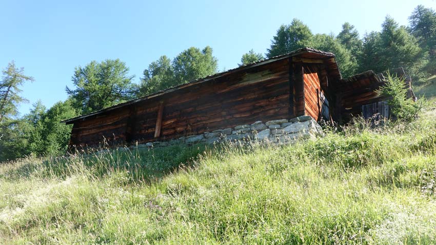
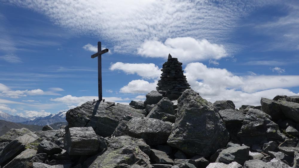
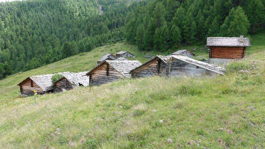
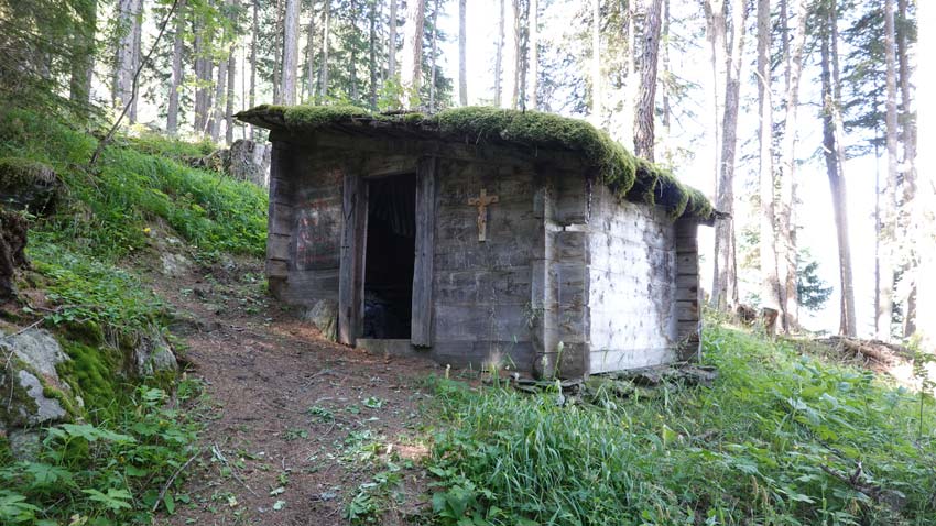
Join the village of Ergisch by the cantonal road above Turtman. Reach the Obermatten plateau and continue to the start and finish point (2’622’804/1’126’061/1641 m). Park along the road. Start the climb in the forest which quickly brings the body up to par up to the Säntum Oberstafel point. Continue in a northerly direction to reach the Ärgischoru then the Ärgischalphoru by the ridge. The climb is through scree which requires a certain alpine habit. Head onto the summit ridge to reach the Signalhoru at 2910 m. The progression is slow, the terrain difficult but the view exceptional.
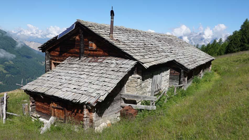
The descent follows the ridge again for about 900 m and runs towards the north-east from point 2850. Choose the ridge carefully, which allows you to avoid the scree slopes up to point 2358 at the place called Erez. Reach the first white-red-white markings from an altitude of 2,200 m and join the return path a little above Obri Eischollalp. In the clearing of Ze Tschongu, go through Verbrannte Wald and reach the Tschorr mountain pasture at an altitude of 1776 m. The road then leads to the starting point.