Aiguilles de Baulmes

Location
Canton of Vaud – near Ste Croix, Yverdon

Descriptif
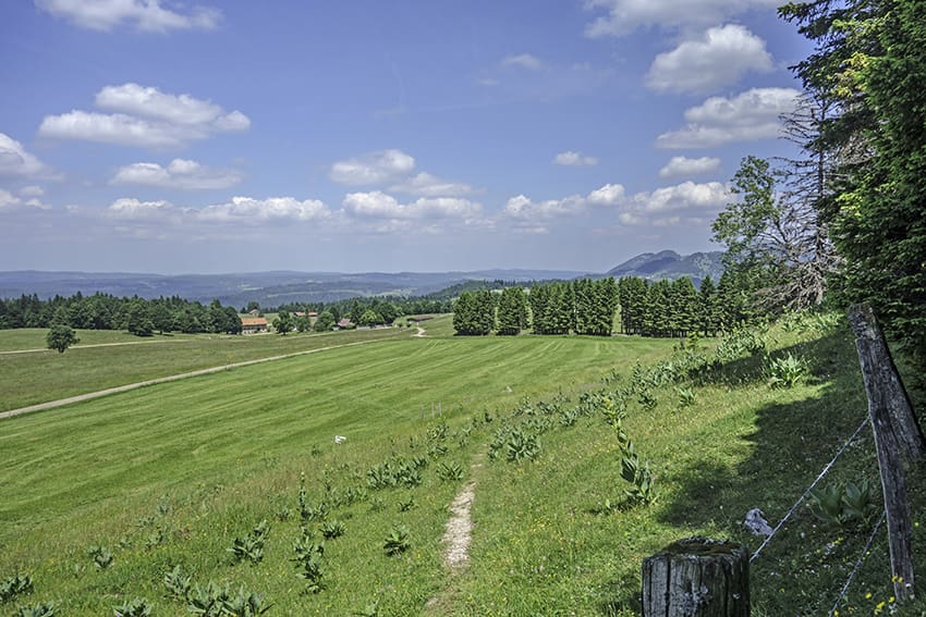
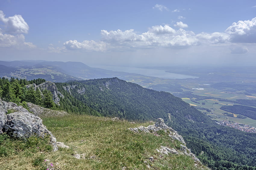
not too difficult hike with a magnificent panorama of the Alps and Lake Neuchâtel on a clear day.

Total length
about 11 km

Walking time
about 4 hours

Elevation + et –
+/-683 meters
Altitude: between 1014 and 1558 meters

National hiking map 1:50’000
241 T Val-de-travers

Best period
from april to october

Difficulty
T2 – T3
Useful information
Nice loop with beautiful vistas. Many possibilities to organize a picnic. Avoid in wet and/or rainy weather. The descent from the summit of Les Aiguilles via the Col de l’Aiguillon route can be very slippery and dangerous. If in doubt, from the summit retrace your steps and take the descent via the Chalet des Aiguilles.
Itinerary
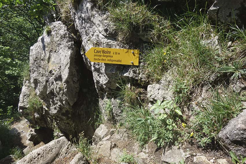
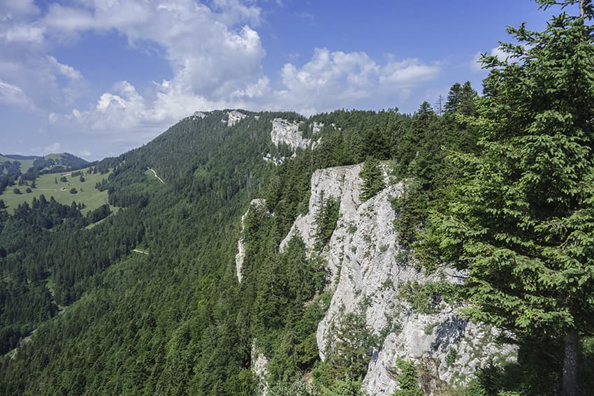
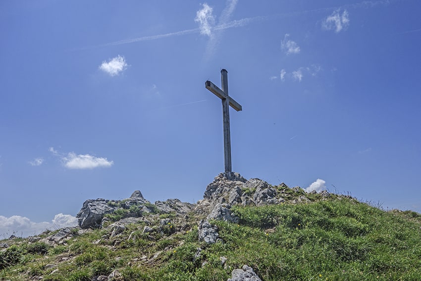
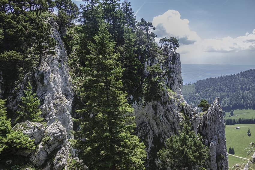
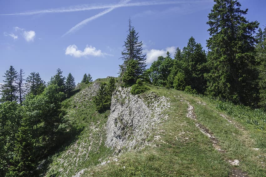
From Ste Croix station, follow Aiguilles de Baulmes (south-east). After leaving Ste Croix and La Sagne, the route begins by following a football field on the right. Always follow Aiguilles de Baulmes up to a road that you have to follow uphill for a few tens of meters before continuing the route which enters the forest by a fairly steep climb. Once you arrive at the Mont-de-Baulmes restaurant, continue towards the Aiguilles de Baulmes and a first panorama with an orientation table to admire the landscape. Go back down about ten meters and follow the Aiguilles de Baulmes ridge. Always follow the path furthest to the left and closest to the cliff (no risk). After about 1.5 km, the route joins the place called “Les Caves Noires” which the bravest with a flashlight can take. The classic route continues along the cliff to the summit of the Aiguilles de Baulmes. Always follow the leftmost path and do not descend until you reach the top.
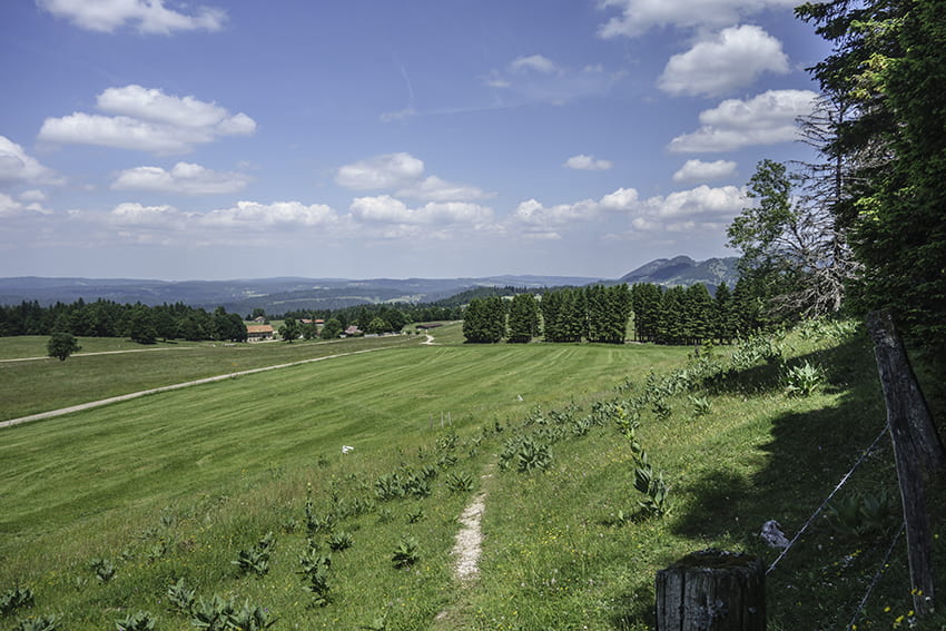
For the descent, follow the indications “Col de l’Aiguillon” descending by a fairly steep path through the forest (T3). At each junction, always follow the indications for La Gittaz, Ste Croix, La Sagne. Once the descent is over, the route (towards Ste Croix. La Sagne) first crosses a pasture and then a forest on a very pleasant path to the starting point.