Augsbordhorn

Location
Left bank of the Rhone, above Visp, towards Moosalp-Törbel

Descriptif
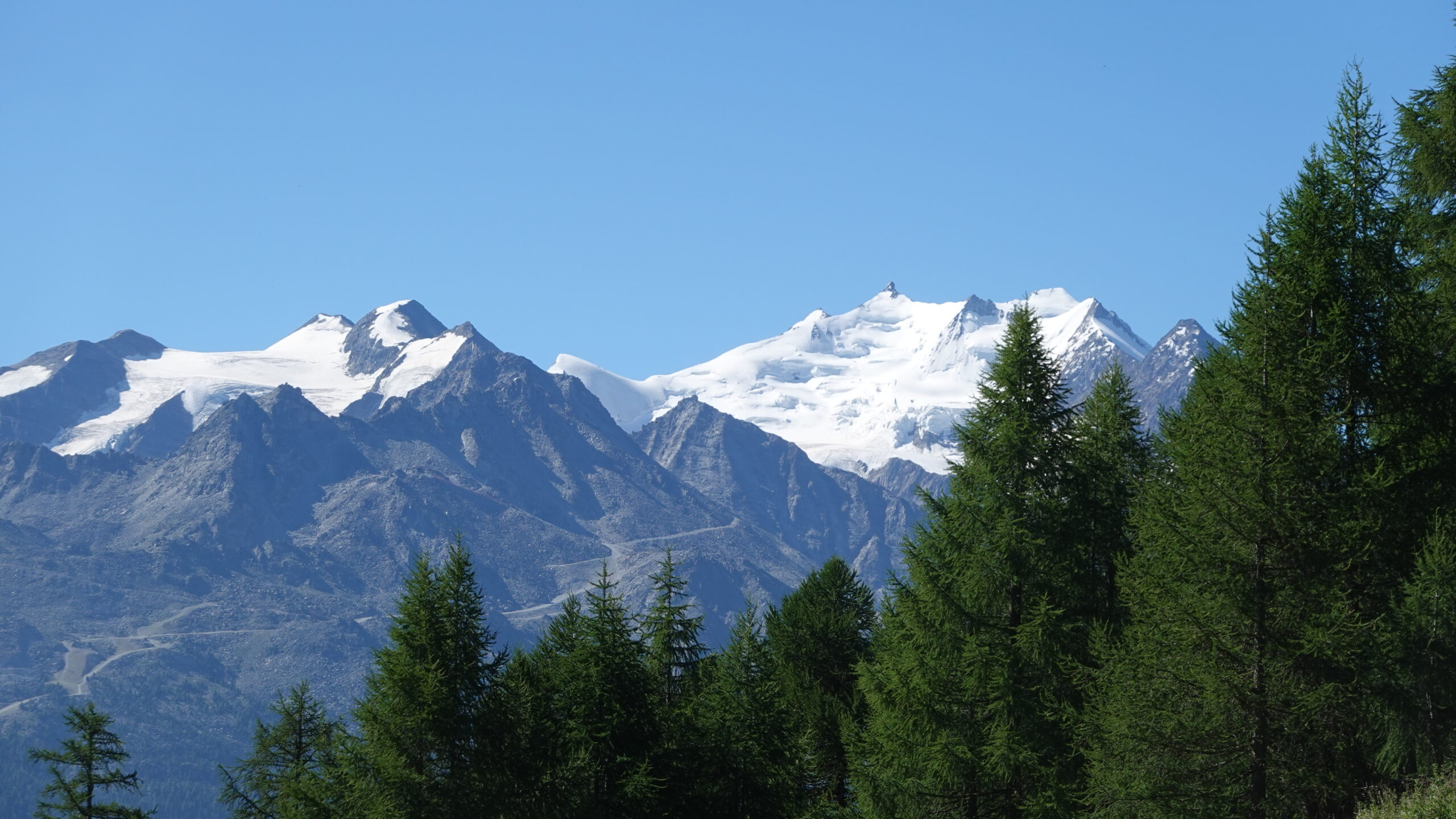
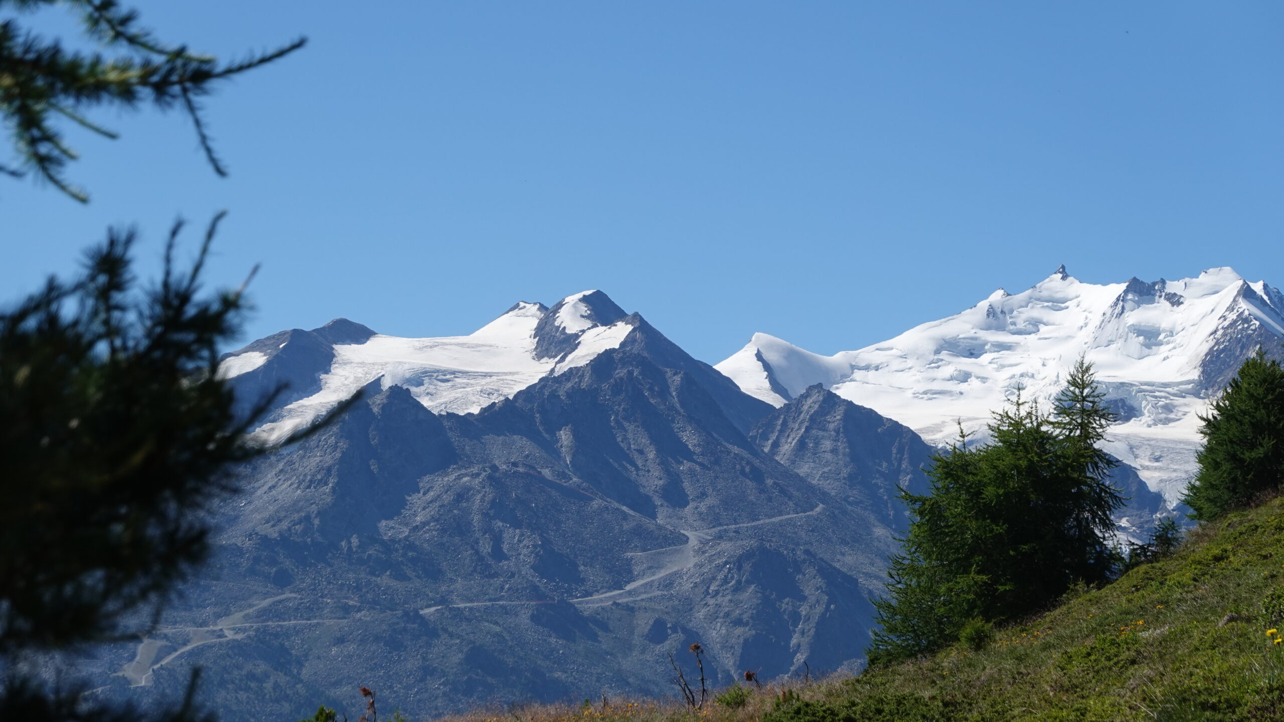
Superb aerial trail that runs along the easy ridges of the March Violenhorn and the Augsbordhorn for more than half of the route. Extraordinary view of the highest peaks of the Valais with its breathtaking hanging glaciers, not to mention the king of this view, to the North, the Bietschhorn.

Total length
30 km-effort

Walking time
13.60 km

Elevation + et –
+/-1256 m
Altitude: between 2047 and 2669 m

National hiking map 1:25’000
Visp 274

Best period
from april to october

Difficulty
T2 – T3
Useful information
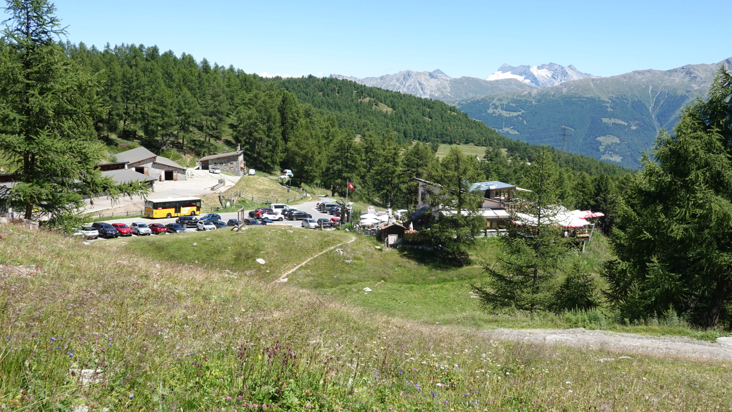
use twint or bring change for the paid parking if you are not using public transport. The poles will be useful for the descent on the North face.
Itinerary
Join Moosalp above Visp and then Bürchen. Start the trail from the car park (2’630’092/1’122295) at an altitude of 2049 m. Follow the well-signposted route in a southwesterly direction to point 2299 before taking the T3 mountain path on the Hälmine. The route to the summit does not require any orientation research and reaches the summit of the Augsbodhorn via the March Violenhorn. An unforgettable spectacle if the weather permits.
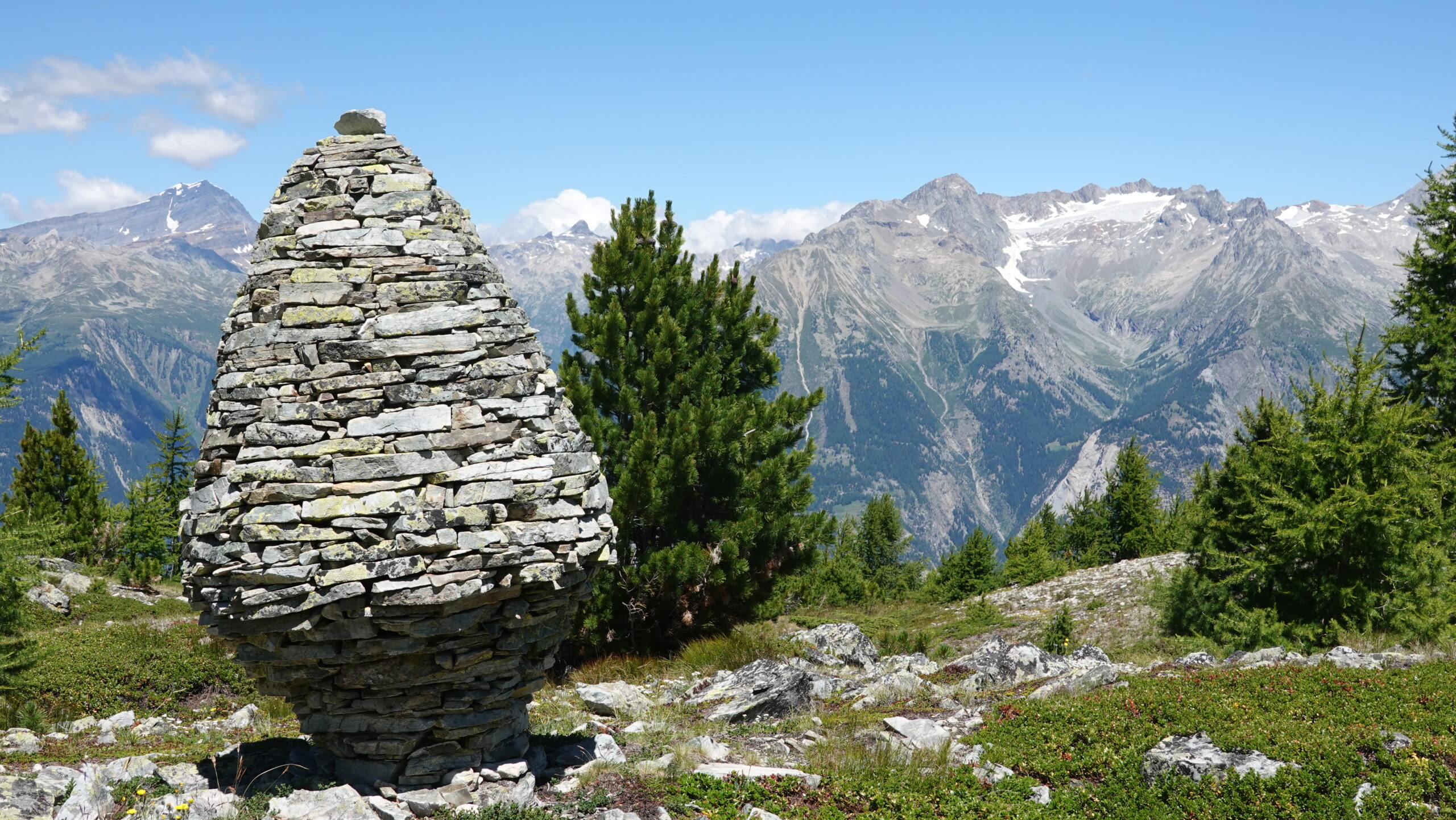
The descent is via the same path to the MarchViolenhorn. Then turn northwest first and then north to an altitude of 2103 m. The start of the descent is steep and poles are appreciated. Admire the magnificent cairn at an altitude of 2340 m above Obers Gibidum. The return from point 2103 m follows the forest trail via Löübbachwald and climbs slightly; the arrival takes you just above the car park.