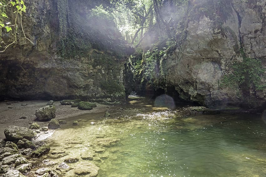
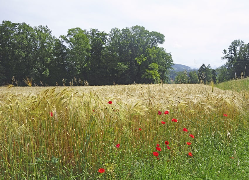
Tine de Conflens Location Canton of Vaud between Cossonay-ville and La Sarraz Descriptif beautiful easy hike between deciduous forest and rapeseed fields Total length about 16 km Walking time about 4 hours Elevation + et – +/-300 meters Altitude: between 436...
Torrent Neuf / Savièse Location Savièse on the right bank of the Rhône above Sion Descriptif no particular difficulty Total length about 5 km Walking time about 2 hours Elevation + et – +/- 200 meters Altitude: between 1100 and 1300 meters National hiking map...
Tour (Tower) de Gourze Location Puidoux-Chexbres in the canton of Vaud Descriptif Easy hike to do with children. Very popular on weekends. Total length about 10 km Walking time about 3 hours Elevation + et – +/- 440 meters Altitude: between 616 and 925 meters...
Tour de Famelon Location Vaud Alps – between Le Sépey and Lac de l’Hongrin Descriptif not too difficult hike with a magnificent panorama of the Valais and Fribourg Alps. Total length about 8 km Walking time about 3 hours Elevation + et – +/-624...
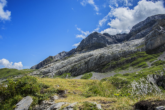
Tour de l’Argentine Location Solalex above Villars Descriptif difficult hike, to discover the chain of Argentina and its famous mirror popular with mountaineers. Typical itinerary of the Vaud Alps region. Total length about 13 km Walking time 5 to 6 hours Elevation +...