Chinbettihöre

Location
Left bank of the Rhone above Leukerbad.

Descriptif
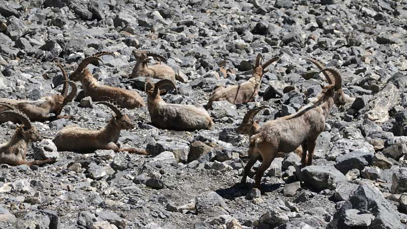
T3-T4 alpine trail starting at 2315 m. Mineral scenery with remarkable geology of the formation of the Alps. You could believe you were on another Earth…

Total length
30 km-effort

Walking time
15.60 km

Elevation + et –
+/-1087 m
Altitude: between 2207 and 2803 m

National hiking map 1:25’000
Gemmi 1267

Best period
July to September

Difficulty
T3 – T4
Useful information
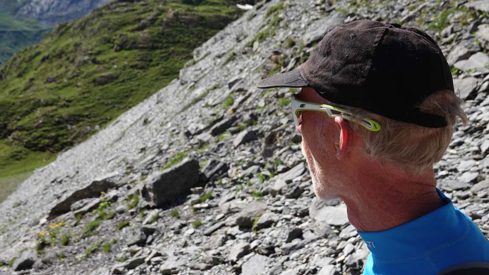
Orientation can be tricky in bad weather and poles are useful to reach the summit of Chinbettihöre. Be careful of the profiled ridge. Do not forget to find out about the opening of the Gemmi facilities or you will lengthen your race.
Itinerary
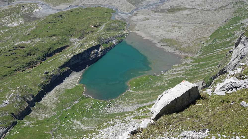
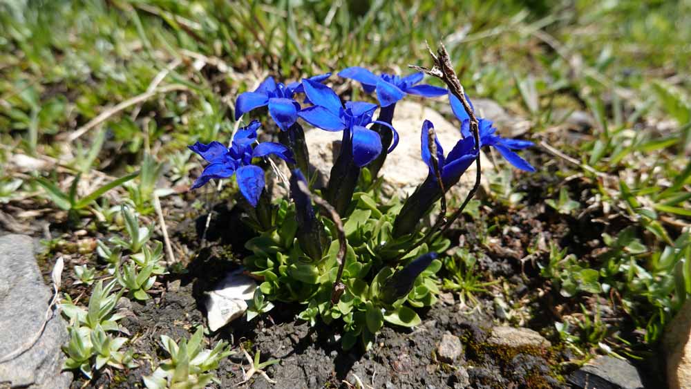
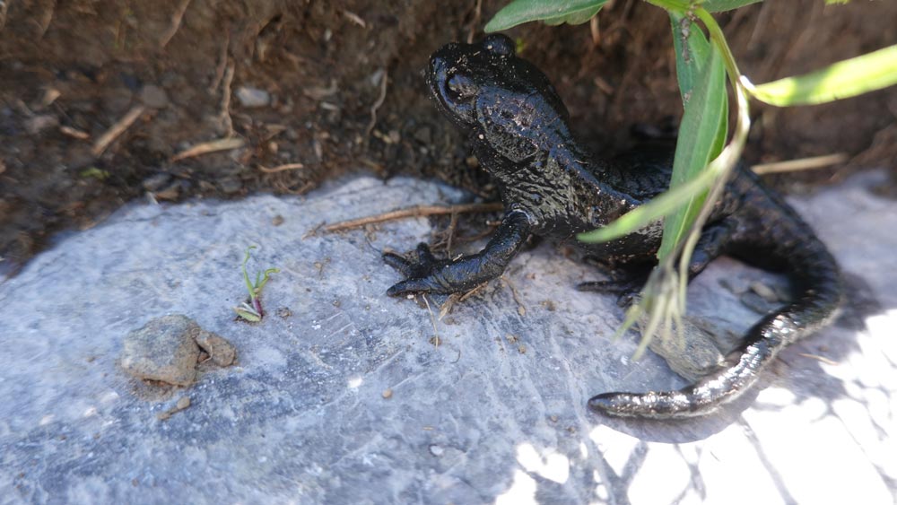
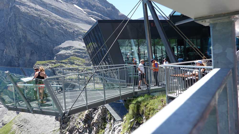
Reach the village of Leukerbad and take the lift to the starting/return point at Gemmi (2,613,636/1,138,545/2,340 m). Start off at a light pace, downhill, towards the Daubensee on its left bank. Follow the climb towards the Rote Chumme pass and enjoy the splendid wild panorama that unfolds before your eyes. Reach point 2562 and turn 180° towards the southwest. The torrent is easily crossed as is the climb towards the Chinbettipass. For the bravest, the summit is approx. 70 m above the pass but beware of the very overhanging ridge. People sensitive to heights should refrain. The flora is wonderful.
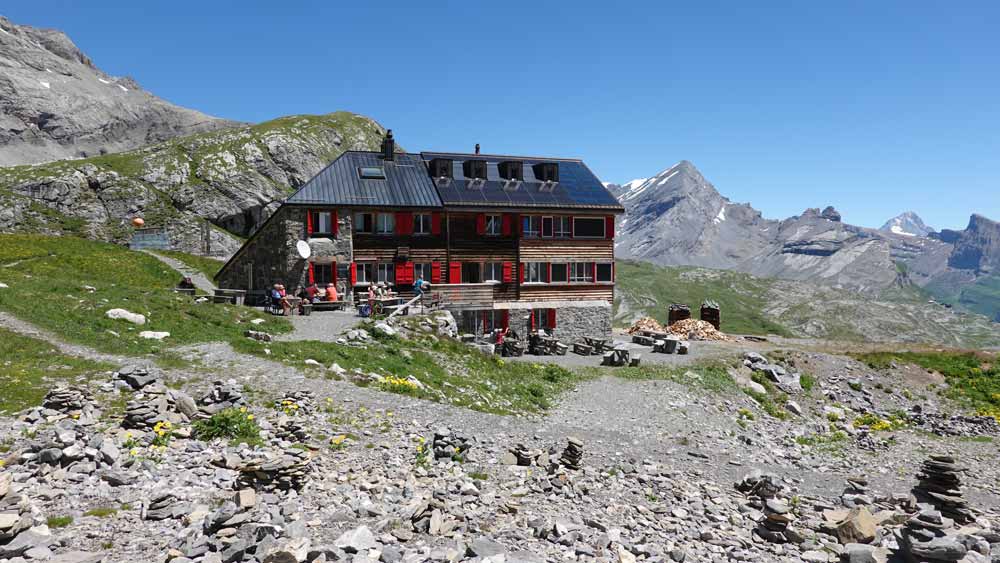
The descent follows the same path to the white-blue-white marked junction at the bottom of the valley. The rest of the route is without a specific itinerary but numerous kerns mark the path to the Rote Totz Lücke. The rest of the descent naturally follows the valley before joining the path that leads to the Lämmerhütte hut. We leave this dream location by a small path that winds to the north of the hut, on the edges of the ravine, along chains arranged in fixed ropes. The return to the Gemmi is quite naturally via the Lämmerenboden plain. This is the ideal dish for those who still have some left in their legs.