Col de Jaman / Bonaudon

Location
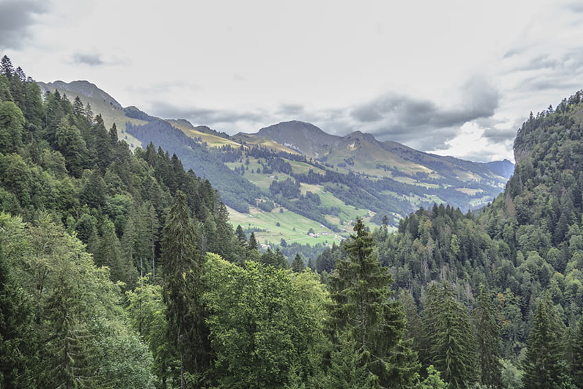
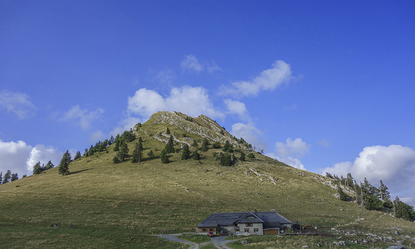
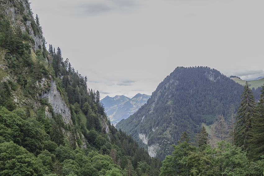
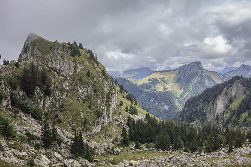
Caux region, Rochers de Naye above the Vaud Riviera

Descriptif
Difficult walk in a very beautiful area. Typical route of the pre-Alps.

Total length
about 13 km

Walking time
about 4 to 5 hours

Elevation + et –
+/- 824 meters
Altitude: between 988 and 1755 meters

National hiking map 1:50’000
262 Rochers de Naye

Best period
May to October

Difficulty
T3
Useful information
This route can also start from the Jaman train stop. On the way back you will have to go back to the train stop. The difference in height will be the same and it will be difficult to set the return time according to the train schedules. During the last climb, the route passes next to the MOB station “Les Cases”. the next stop is at “Jor”, well below Jaman Pass.
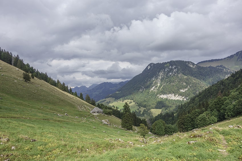
Itinerary
From the Col du Jaman car park head towards Rochers de Naye following an agricultural road which descends for about 700 meters to the junction “les Cases, Monbovon”. Continue in the direction of Rochers de Naye for 1 km 6 to join the path of the mountain of Amont to follow up to the point of altitude 1702. Turn off in the direction of Col de Bonaudon. It is possible to reach the Bonaudon pass by following a path that goes straight up towards the pass a little before the Montagne d’Amont farm. Extremely steep path and climb. From Col de Bonaudon, descend about 50 meters and follow left towards Case de Bonaudon and Bonaudon du Milieu along the foothills of the Dent de Hautaudon. It is a long descent to altitude point 1024 and the Hongrin river. After the bridge, follow the road on the left for about 2 km towards Allières. At altitude point 1006, turn left towards the Seythours refreshment bar (closed on Sunday evening and Monday). Follow this road and continue towards the Col de Jaman.