Corbeyrier / Les Agittes

Location
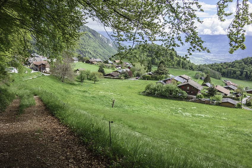
Canton of Vaud in Chablais above Yvorne

Descriptif
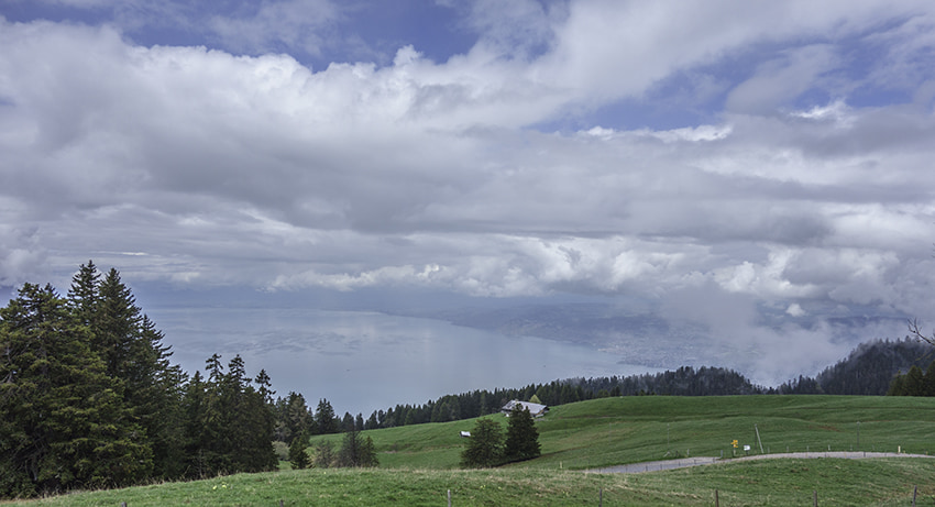
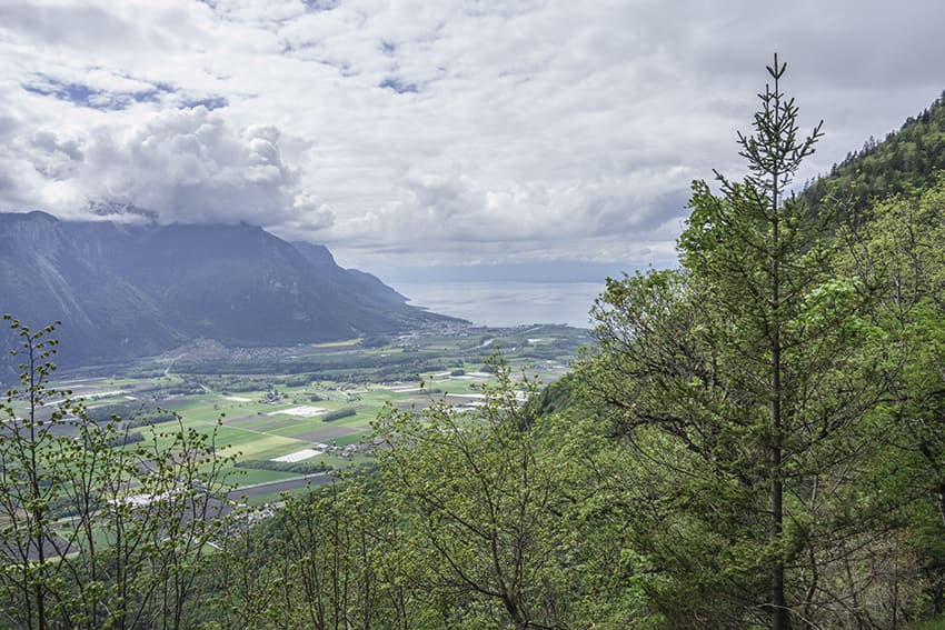
challenging hike, requiring sure footing. Not recommended for people suffering from vertigo. Avoid in very humid or rainy weather. In good weather, magnificent view of Lake Geneva.

Total length
about 9 km

Walking time
about 4 hours

Elevation + et –
+/- 733 meters
Altitude: between 944 and 1596 meters

National hiking map 1:50’000
262 Rohers de Naye

Best period
from late April to November

Difficulty
T3
Useful information
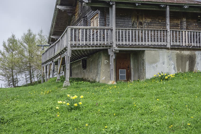
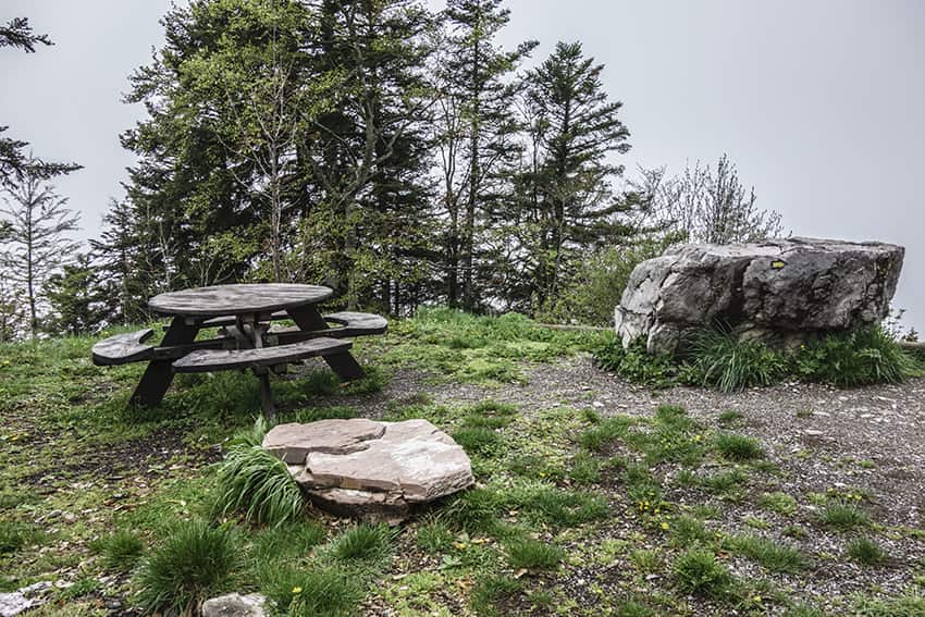
In the Agittes sector you can easily organize your picnic. During the summer season the mountain pastures are occupied by cattle. If using the private vehicle, it is possible to park a little higher than the EMS Victoria.
Itinerary
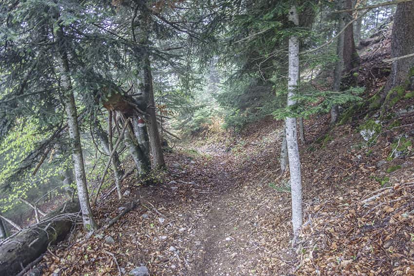
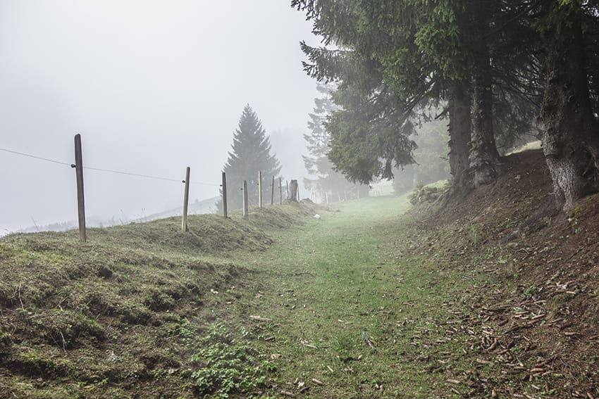
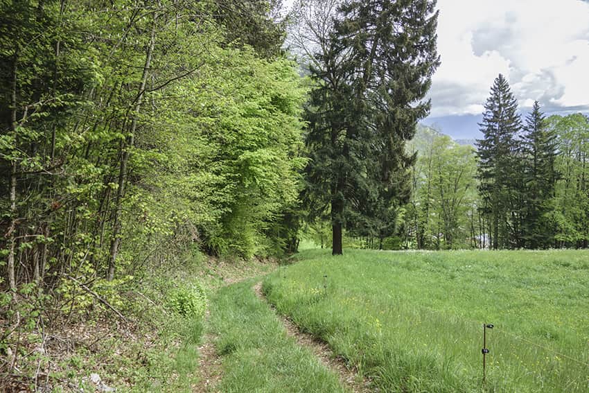
The route begins in front of the EMS Victoria establishment on the Route des Fours à Mathieu at Corbeyrier. Take the uphill forest path next to the “Vers la Doey” bus stop. Follow this very steep path which crosses and rejoins the Agittes road 3 times. When the route rejoins the Route des Agittes for the third time, follow it for 100 meters uphill and turn left by the forest path.
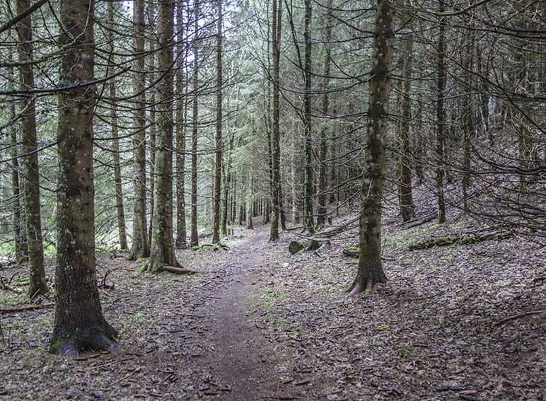
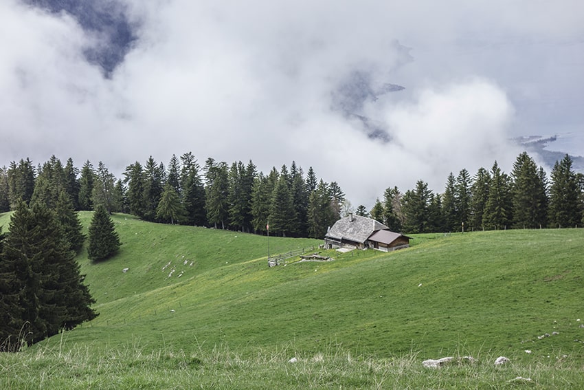
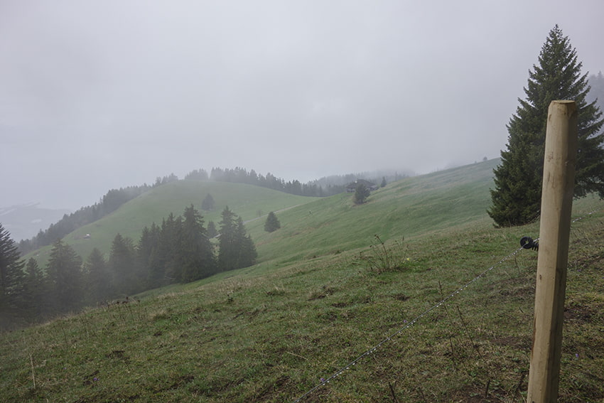
Follow the signs for Les Agittes. The elevation is significant over 1 km. After this steep climb, the route joins the Agittes road to follow for 500 meters and just before the entrance to the tunnel turn right in the direction of Agittes. Once at the top we leave the forest to discover a magnificent panorama of the Pre-Alps and Lake Geneva. Cross the mountain pastures following the forest road. At altitude point 1544, follow the route des Agittes on the left for 150 meters and at altitude point 1537 turn right towards the Grand Chalet. Direction Roche, Corbeyrier, les 4 Mélèzes (! there are several routes to reach Corbeyrier).
After 2.5 km of descent, the route joins the junction for Corbeyrier, this part of the descent is difficult with some passages very exposed to slipping and two passages equipped with handrails. Follow this path to the starting point crossing a deciduous forest.