Derborence / Mombas

Location
Valley of Derborence on the right bank of the Rhone above Conthey

Descriptif
a difficult hike for a safe walker. Some passages are not recommended for people subject to vertigo (there is a variant by Godé lake that avoids air passages). Very hilly hike from the many small valleys that we cross during the walk.

Total length
about 12 km

Walking time
4 to 5 hours

Elevation + et –
+/-600 meters

National hiking map 1:50’000
St Maurice 272 T, Montana 273 T

Best period
July to October (beautiful autumn hike)

Difficulty
T3
Useful information
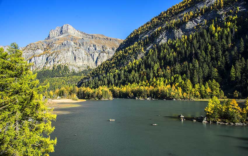
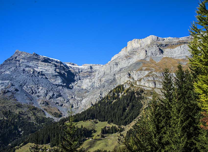
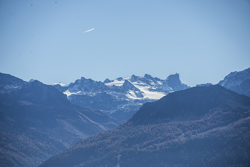
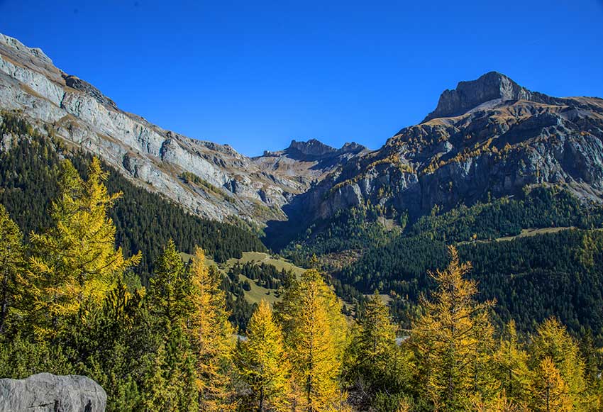
Derborence was the scene of two landslides (1714 and 1749), from the glacier of Diablerets. Glacier that we still see during the whole hike. The first disaster was romanticized by C.F. Ramuz. Derborence is a beautiful protected natural site of national importance. During most of the hike you will be continually overhanging the valley with at every step a different panorama.
When snow melts, the La Lizerne River is difficult to cross. It is better to undertake this hike when the snowpack has completely disappeared at high altitude and the Lizerne is no longer in high water.
Itinerary
Arriving in the valley of Derborence, take the direction of Refuge du Lac. If you arrive by private vehicle there are many parking possibilities.
Follow the unpaved road east to a 90-degree turn, you will join the first car park upstream of the road.
Follow the direction of the red arrow to join La Combe. This route crosses the landslide of Les Diablerets. Continue towards La Lui d’En Bas, (direction Prarocher, Col du Sanetsch and Tour du Vallon de Derborence, this last indication is the general direction of the hike) A few hundred meters after La Lui d’En Bas, you can fork towards the Godé to avoid vertiginous passages. Otherwise, continue towards the bottom of the valley direction East. After crossing the last forest following the path along the Lizerne, the route crosses the valley to follow the left bank of the river. There is no indication, the path separates by diving towards the river that you have to cross ford.
Always follow the path to Mombas below. A little before this hamlet, you join a road that you follow until the postal station of Motélon which is in the bottom of the valley of Derborence. From Motelon, take the direction of Derborence following a path on the right bank of the valley. After going around the lake Derborence you join your starting point.