Gateway Naters

Location
Upper-Valais, Naters, Brig

Descriptif
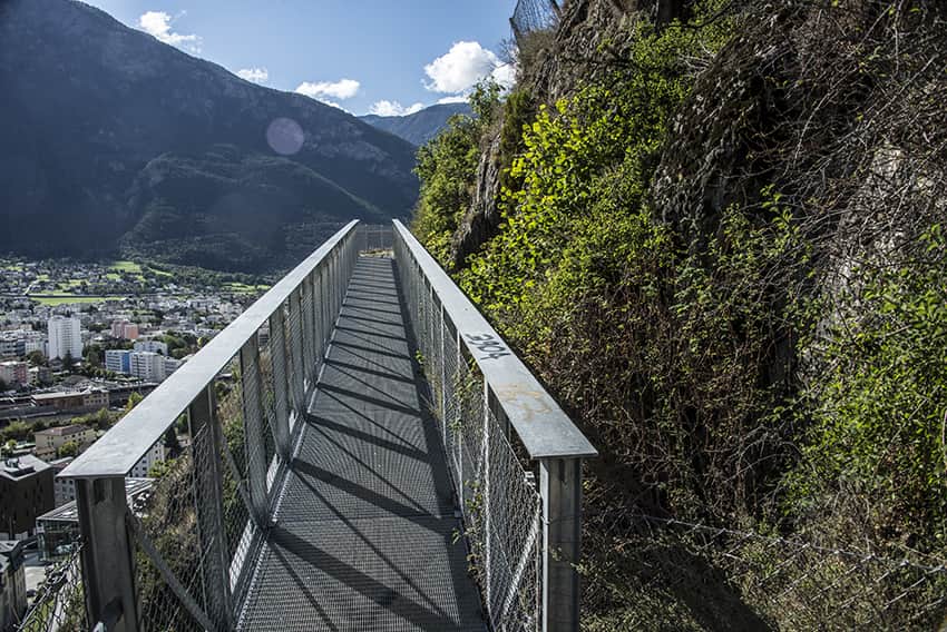
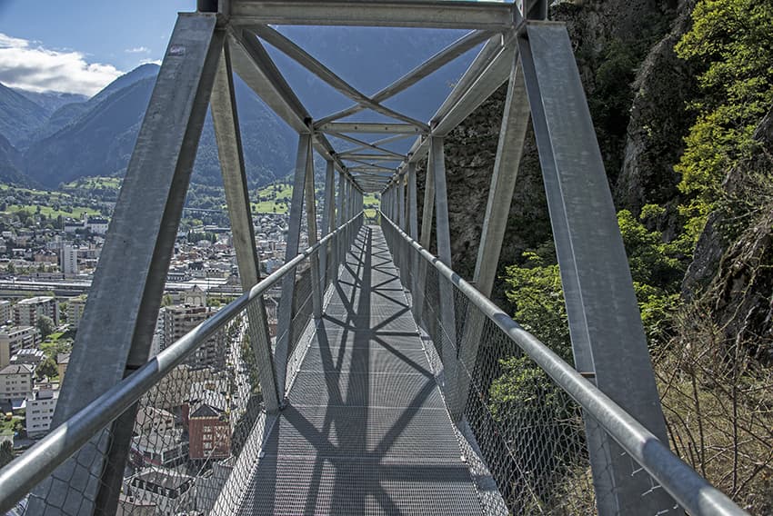
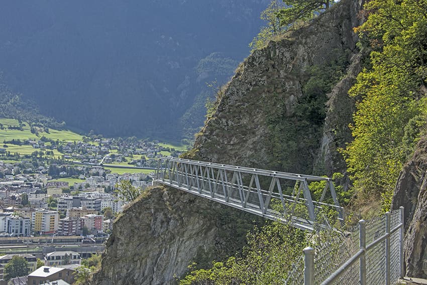
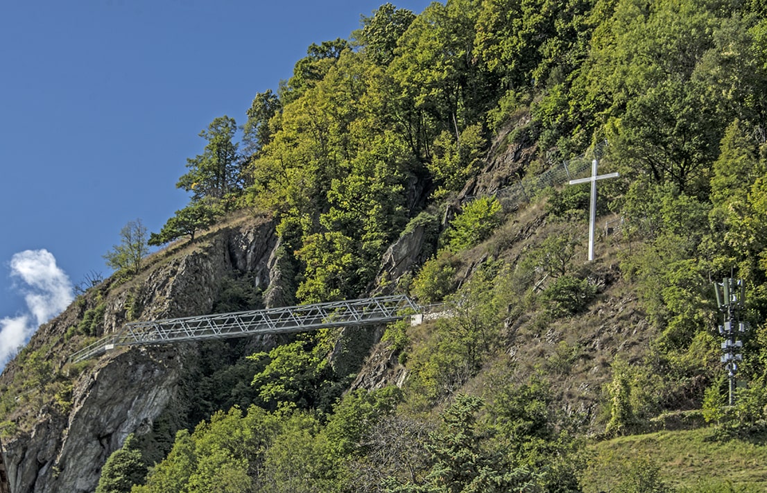
nice sunny hike. In addition to the footbridge, some very well secured air passages.

Total length
about 5 km

Walking time
about 2 hours

Elevation + et –
+/-425 meters
Altitude: between 700 and 1000 meters

National hiking map 1:50’000
274 Visp

Best period
practically all year round

Difficulty
T3
Bridge length and height: 60 meters / 50 meters
Useful information
To make the loop and join the main Naters-Mund road, you have to be careful not to go astray and follow the right path. At the beginning, the route follows a historical path of the old forts of the war of 39-45.
Itinerary
Cross the Naters cemetery and follow the Stations of the Cross uphill. After a short climb continue in a westerly direction. Follow the route for 2 km and after altitude point 879 take a path that climbs towards the main Naters – Mund road. During this climb, there are many false paths that follow a complex irrigation system. Follow the route with the most traffic. Once on the main road, follow it downhill for 400 meters to altitude point 970 and take a path to the right towards Naters to reach the starting point.