Tour du Gautier

Location
Nax – Vernamiège, Val d’Hérens

Descriptif
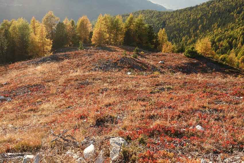
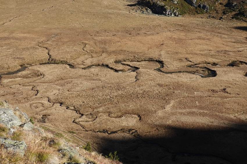
Nice and challenging hike on the edges of the Vallon de Réchy; Alpine path with a beautiful view of the Rhone Valley

Total length
32 km for two days

Walking time
13 hours total

Elevation + et –
between 1550 and 2980 m

National hiking map 1:50’000
273 Montana

Best period
as soon as snow conditions allow (July to October)

Difficulty
T3
Useful information
If you arrive by public transport, pay attention to the route from the start to the Prarion shelter: the distance to walk, whether you come from Vernamiège or Nax is significant!
Itinerary
First day
Departure from the cover of Prarion to the south-east of Nax, at an altitude of 1545 m. Follow the dirt road for 50 m to the north (1541) and climb the alpine road up to point 1611. Continue on a path (south-east) to Chiesso, point 2068. Enter onto the Chemin des Charbonniers to the Ar du Tsan, at Pichioc (2184). Gain the Col de cou (2528) then go back down to the Combe stables (2324). Follow the road to the Auberge de La Louère (2165).
1300 m pos, 680 neg, 12 km, 5h12
Second day
From the inn, go south to Arpette (2284). Follow the path to Réchasses (2522) and reach Pas de Lovégno (2695). From the pass, follow the path that goes south-east in the Vallon de Réchy to reach the Tsévalire pass (2946). Continue to the Becs du Bosson hut (2982). Join the path south of the hut to the Pas de Lona (2787). Descend on the west face of the pass to A Vielle (2369). Go to Loveigno (2170) then Plan Zenevrec and return to the Auberge de La Louère. Follow the trail west of the inn to point 2125, then reach the Rimble (1898). Follow the road in the direction of Clot de Guidon (1703) then finally Prarion, starting point.
1200 m pos, 1850 neg, 20 km, 7h30


