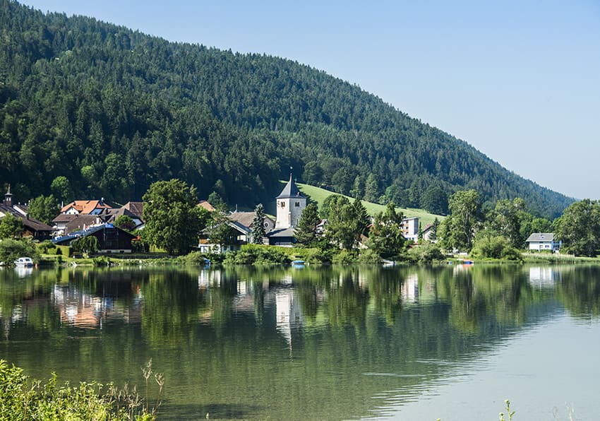
Joux lake tour

Location
Valley of Joux, Jura Vaudois

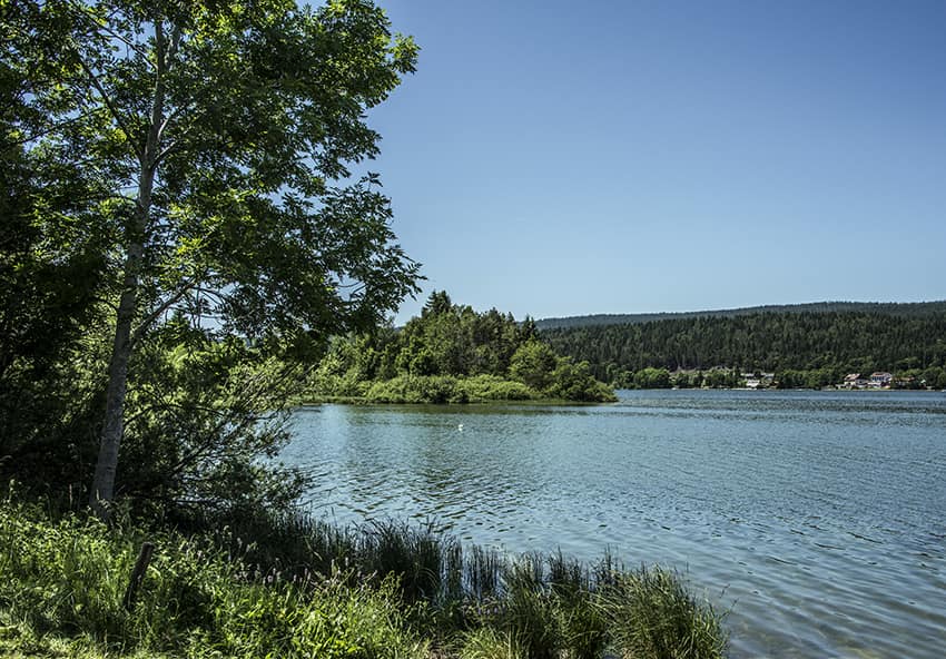
Descriptif
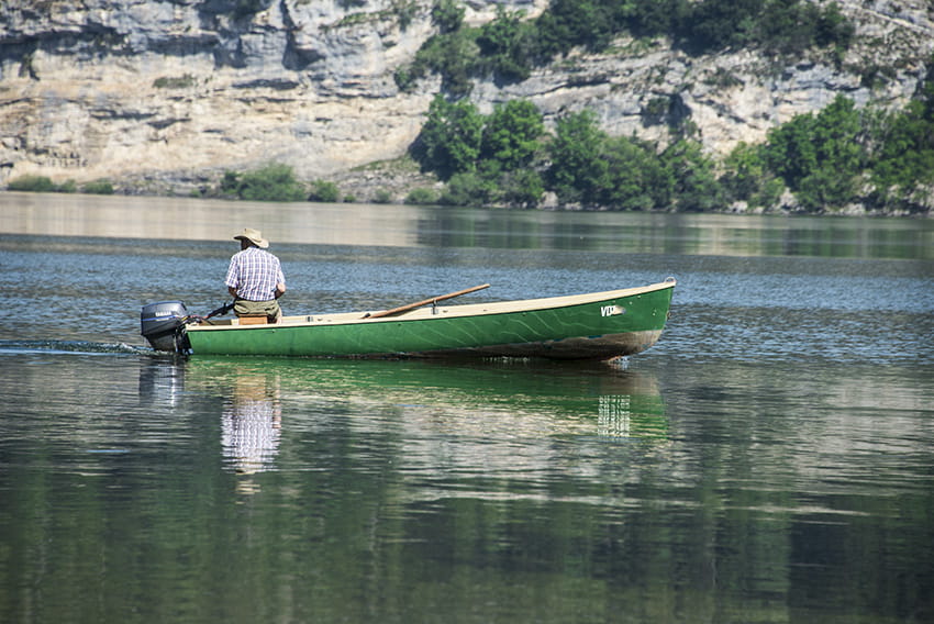
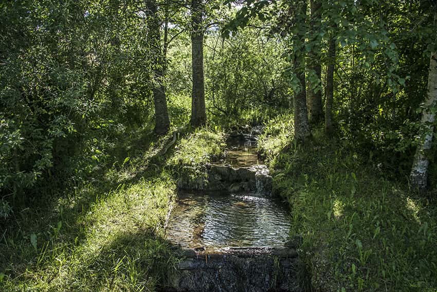
easy hiking with no particular problem around the largest mountain lake in the Jura. Discovering forest landscapes, green pastures and freshness of the water.

Total length
about 22 km

Walking time
5 to 6 hours

Elevation + et –
+/-300 meters

National hiking map 1:50’000
250 vallée de Joux

Best period
March to October

Difficulty
T1
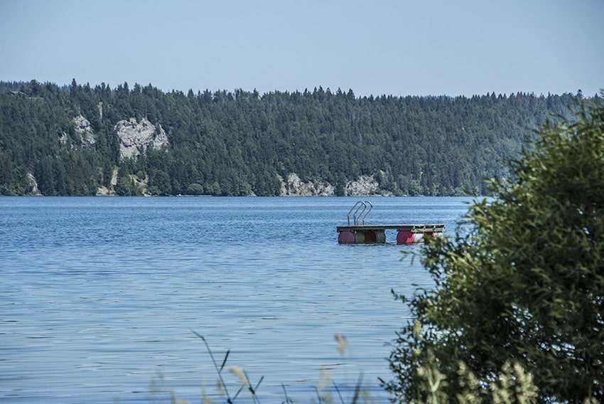
Useful information
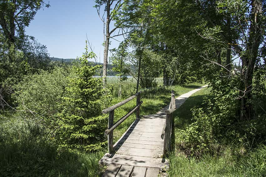
Very nice hike, easy and within reach of everyone, including young children. On the right bank, many places are dedicated to swimming, grills and picnic. The left bank is skirted by a train with several stops, for those who do not walk 22 km !
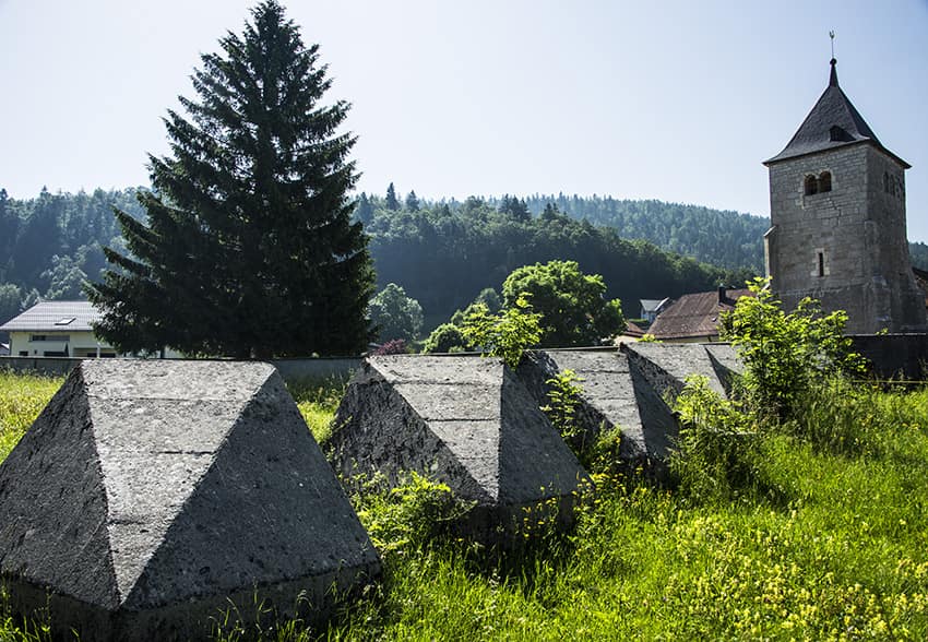
Itinerary
We advise to begin the hike to Le Pont and to take the right bank by the l’Abbaye, Les Bioux. From Le Sentier, follow the left bank towards Le Pont.