Klein Allalin

Location
left bank of the Rhone, above Saas-Fee. N.B.: Departure from Saas-Almagell is also possible.

Descriptif
Alpine trail, in the middle of a crown of summits, each more prestigious than the last. Tough on the ankles!

Total length
44 km-effort

Walking time
21,1 km

Elevation + et –
+/- 1687 m
Altitude: between 1772 and 3070 m

National hiking map 1:25’000
Randa 1328 and Saas 1329

Best period
July to September

Difficulty
T3 – T4
Useful information
This route should only be done when all the snowfields have disappeared. Be careful of the altitude and the alpine nature of this trail which requires some knowledge of the mountains, whether for orientation in foggy weather, or in the late afternoon with possible storms. Travel times are relatively long.
Itinerary
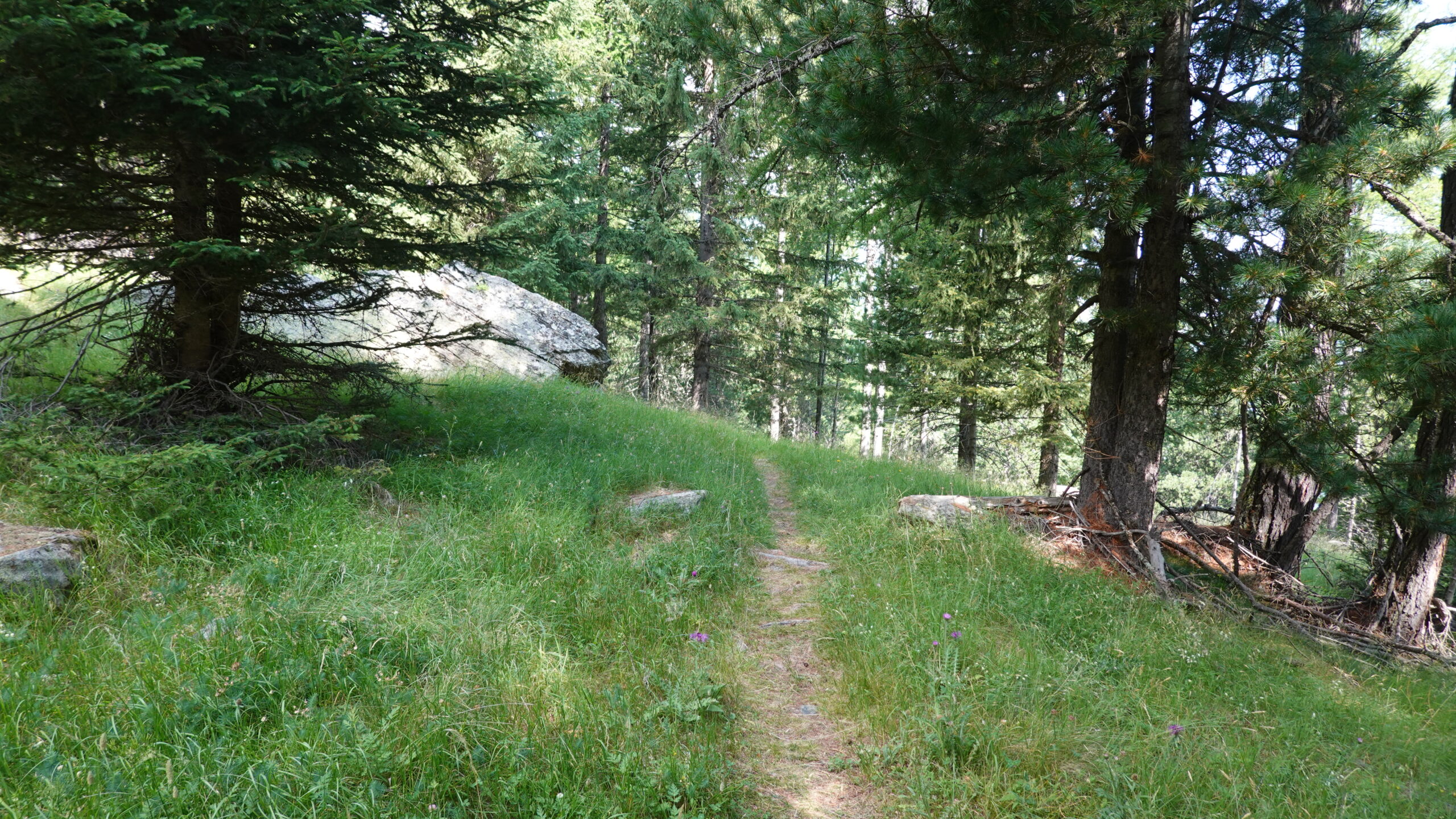
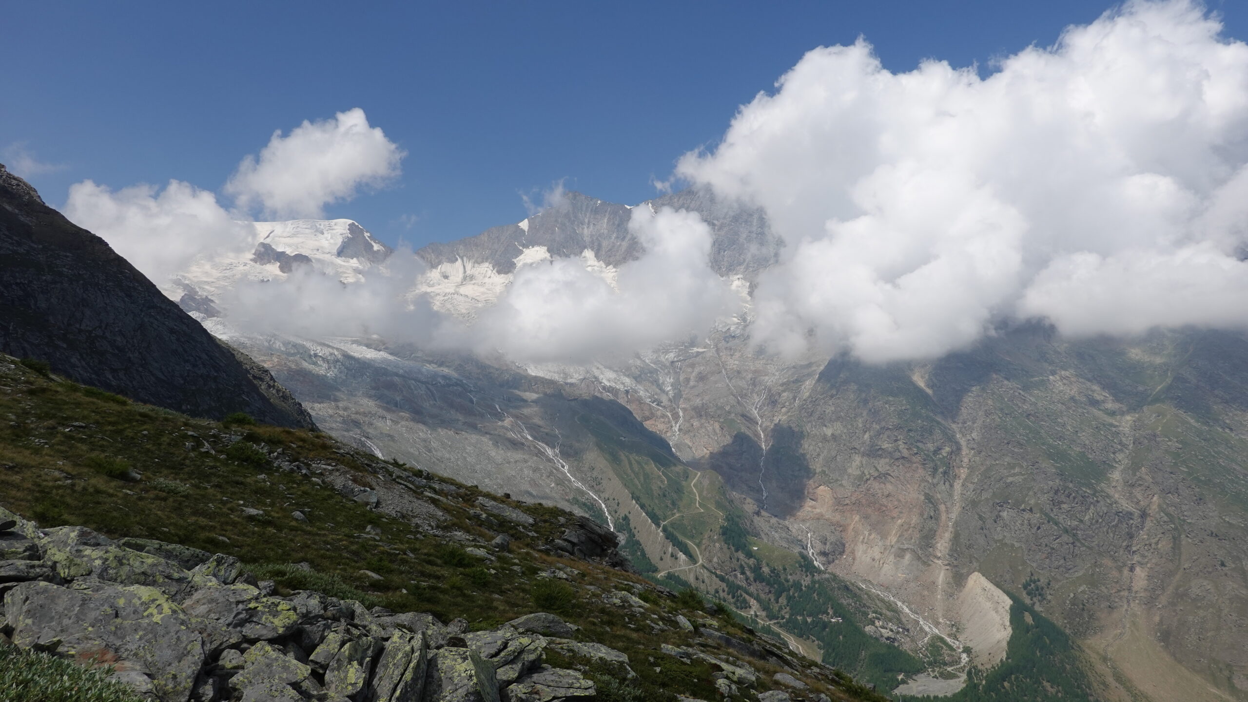
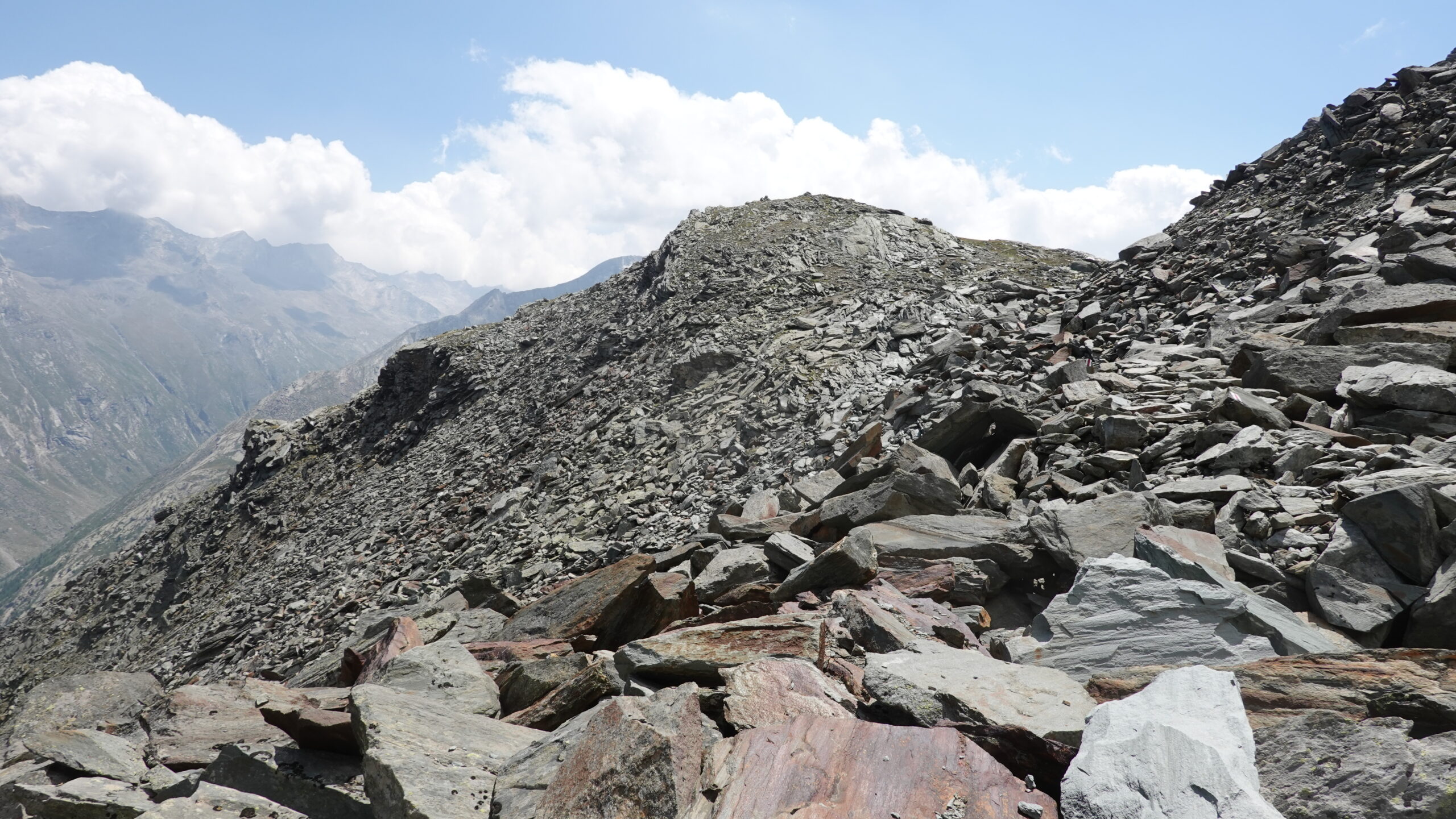
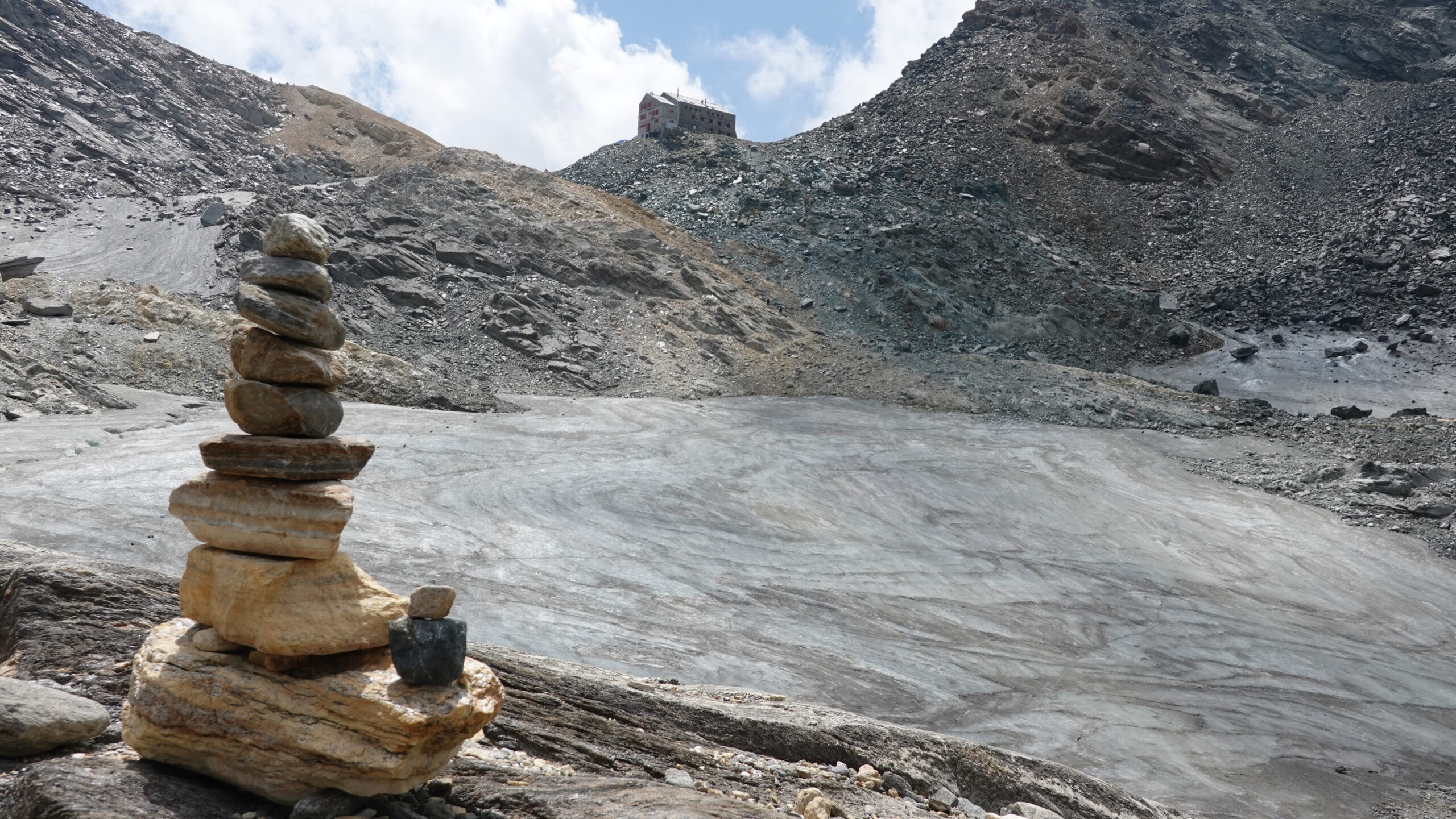
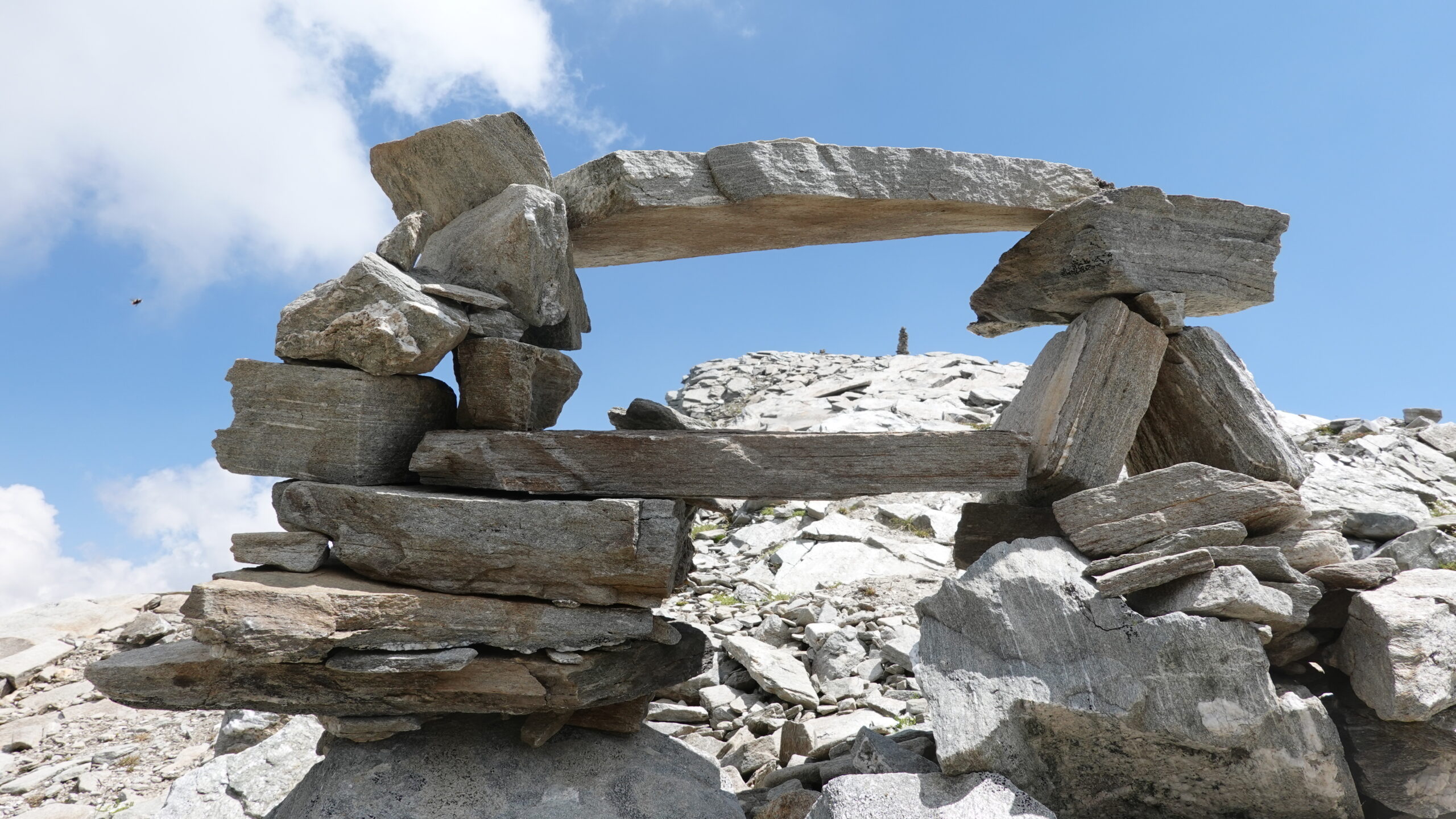
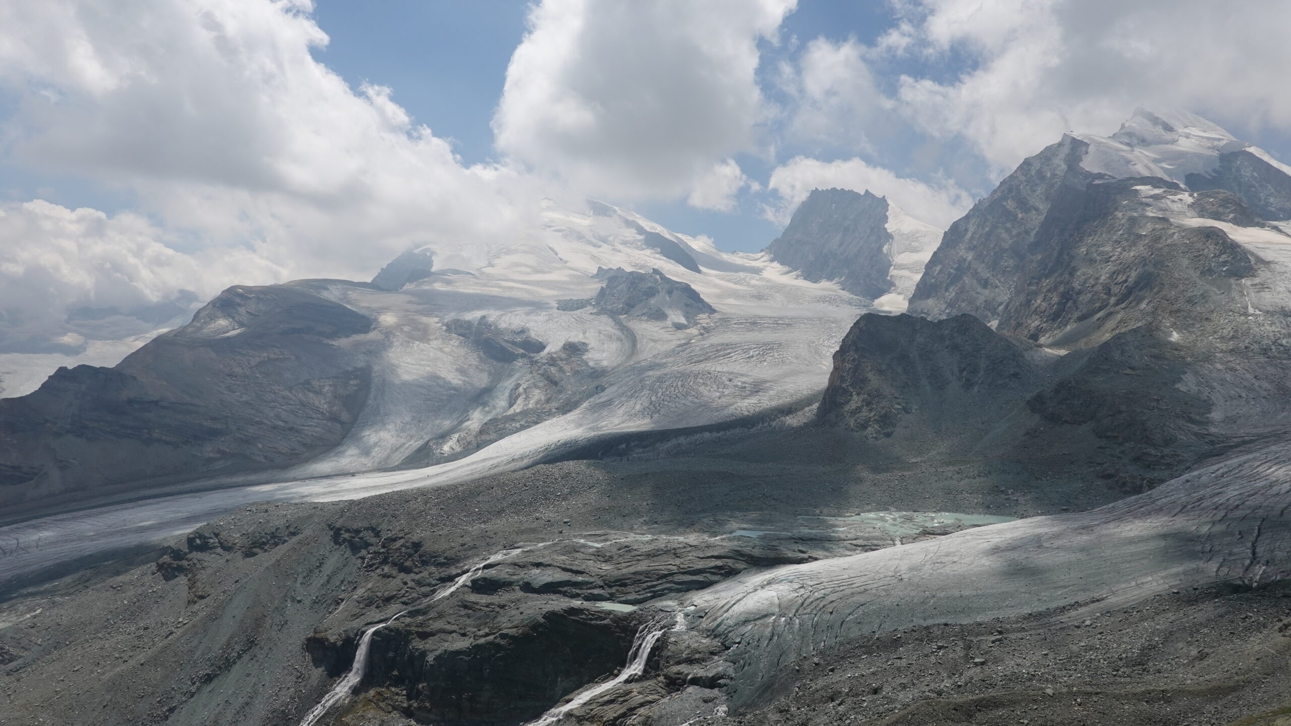
From the car park, reach the bridge that spans the Feeru Vispa river and take the road on the left that runs gently towards Saas-Almagell. At point 1721, start the climb; the path quickly moves away from the Alpine tumult of Saas Fee to reach the calm and solitude of the mountain from the Batistichwald forest. Magnificent mineral space dotted with larches dominated by the Plattjen communication antenna at point 2423. Reach this striking point of the landscape without difficulty and continue until you reach the Plattjen winter facilities. Then head south across a scree slope that challenges your balance and ankles. The rest of the route runs along the steep walls of the Mittaghorn (option to extend the route) and the Eggner and sometimes passes by handrails along the wall. At point 2863, continue towards the Britanniahütte hut and finally towards the summit of Klein Allalin at 3070 m.
The return is made to point 2863 by the same route then obliquely in a north-west direction towards the obvious passage under the Egginerhorn. The descent on Maste 4 remains more uncertain: steep slope, non-existent route for about two hundred meters before joining fragments of route that run under the cables of the lifts. This part up to Maste 4 is the least pleasant of the trail but is hardly more than 1.5 km. From Maste 4 take the path that goes to the right of the installations to reach point 2331, then point 2190. Be careful this portion of land has a narrow path and the steps must be sure despite fatigue. Finally reach the starting car park by the Bodmerwasser bisse.