La Croix de la Lé

Localisation
Left bank of the Rhône above Bouveret and St Gingolph.

Descriptif
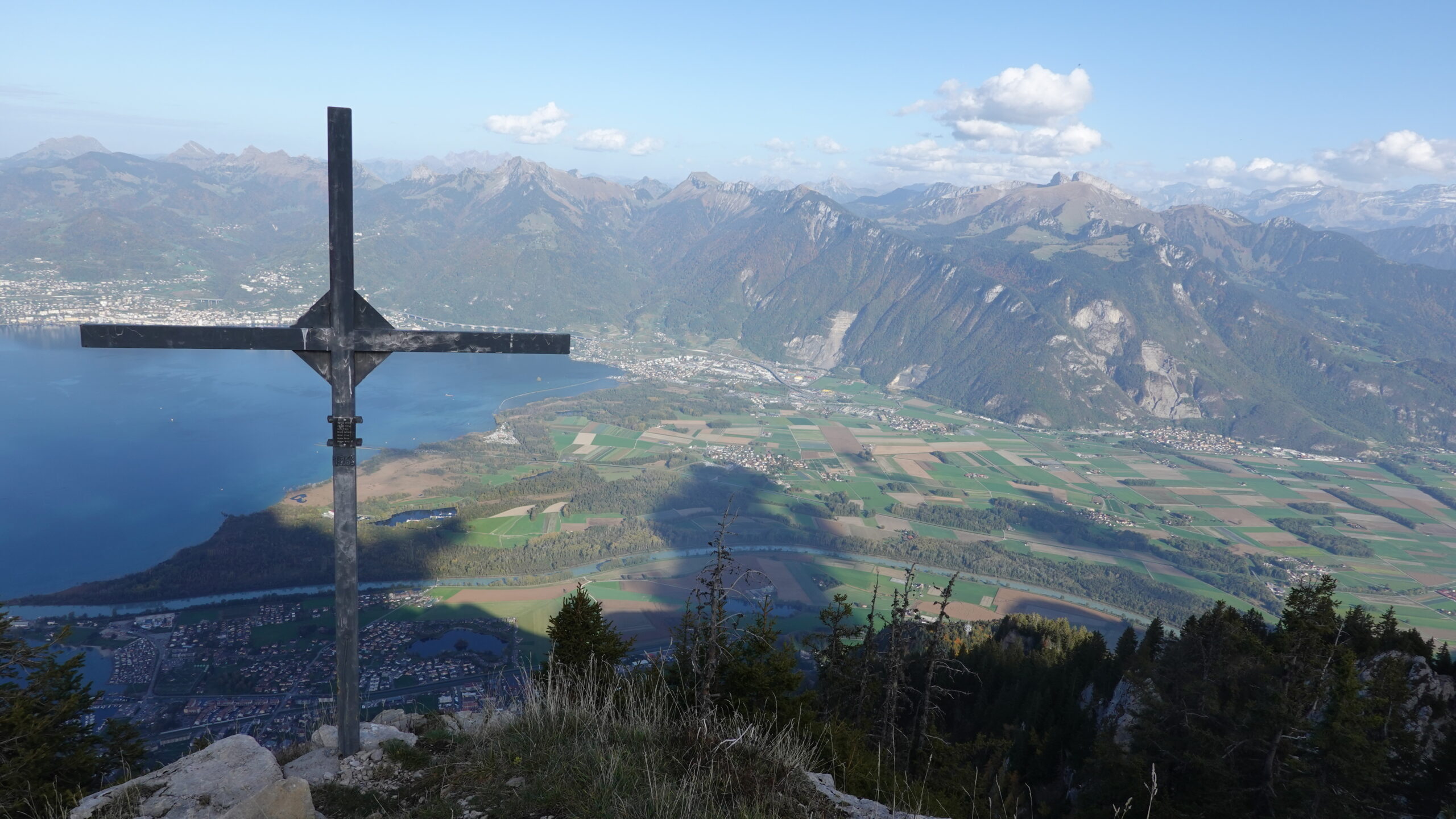
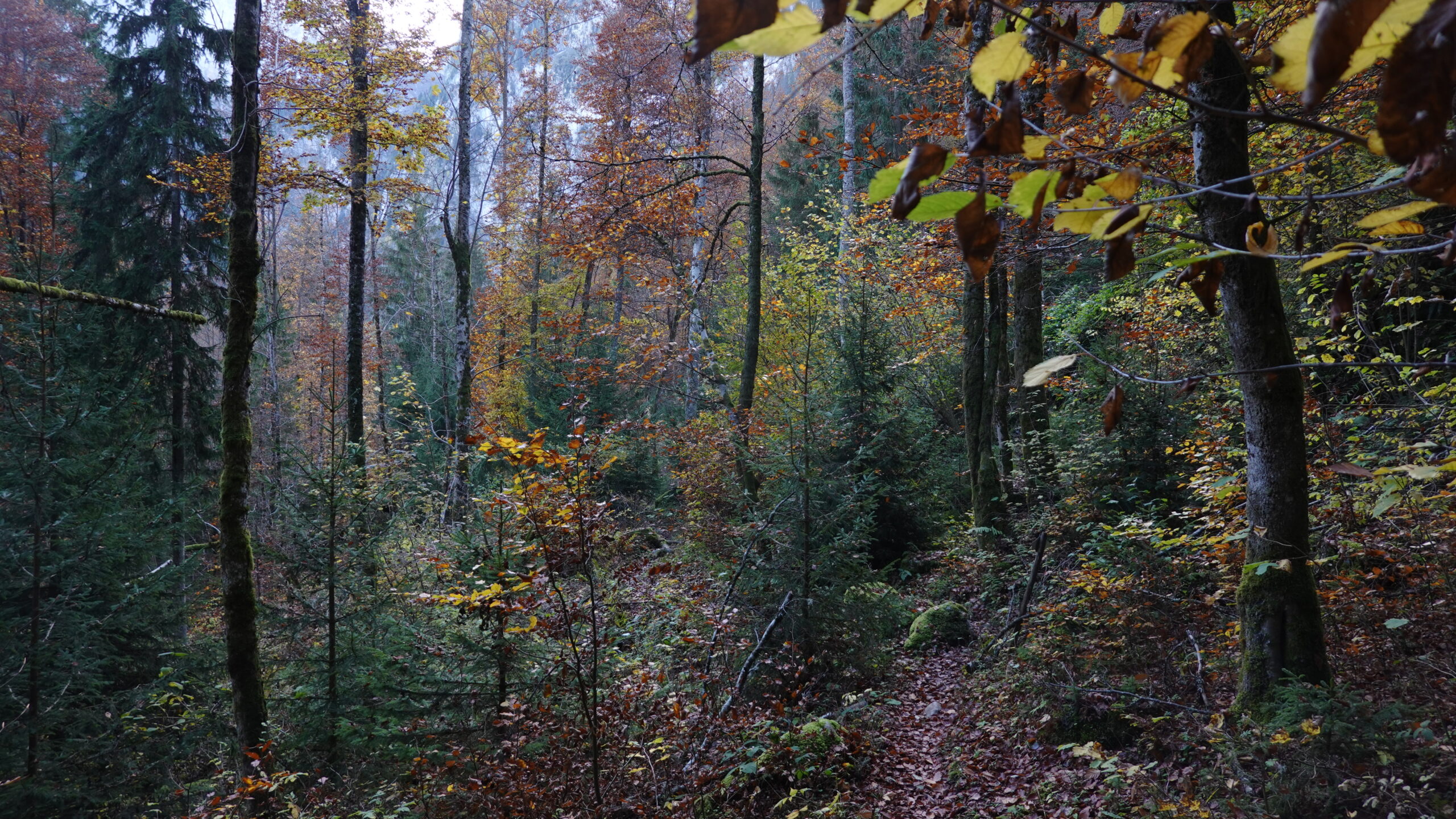
A technically easy trail from the plain to the summit of the Croix de la Lé, via the mythical Cornettes de Bise and Lac de Taney. Easy orientation and well-marked paths. A magnificent route alternating everything you love about this style of landscape: forests, pastures and mountain paths; not forgetting the breathtaking view of Lake Geneva from the summit of the Croix de la Lé.

Longueur totale
30,73 km

Temps de parcours
60 km-effort

Dénivelé + et –
+/- 2232 m
Altitude: between 373 m and 1869 m

Carte nationale d’excursion 1:25’000
Montreux 1264 and Monthey 1284

Meilleure période
July to October

Cotation
T3
Informations pratiques
We recommend you use public transport; car parking is unsuitable in Bouveret and/or requires change or twint. If you plan to run in October, bring a torch: the days are beautiful but short! Don’t miss the stop at Lac de Taney.
Itinéraire
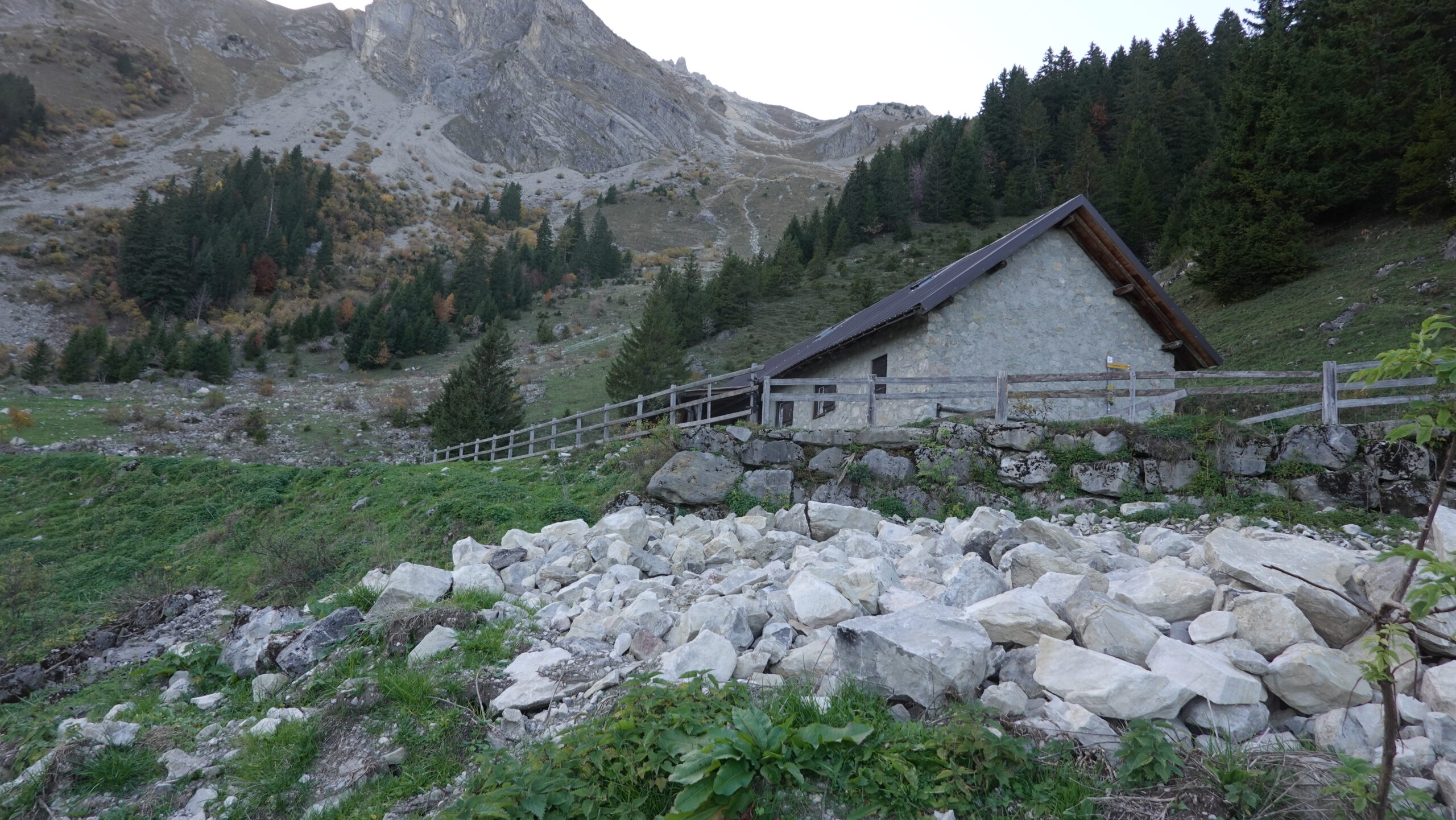
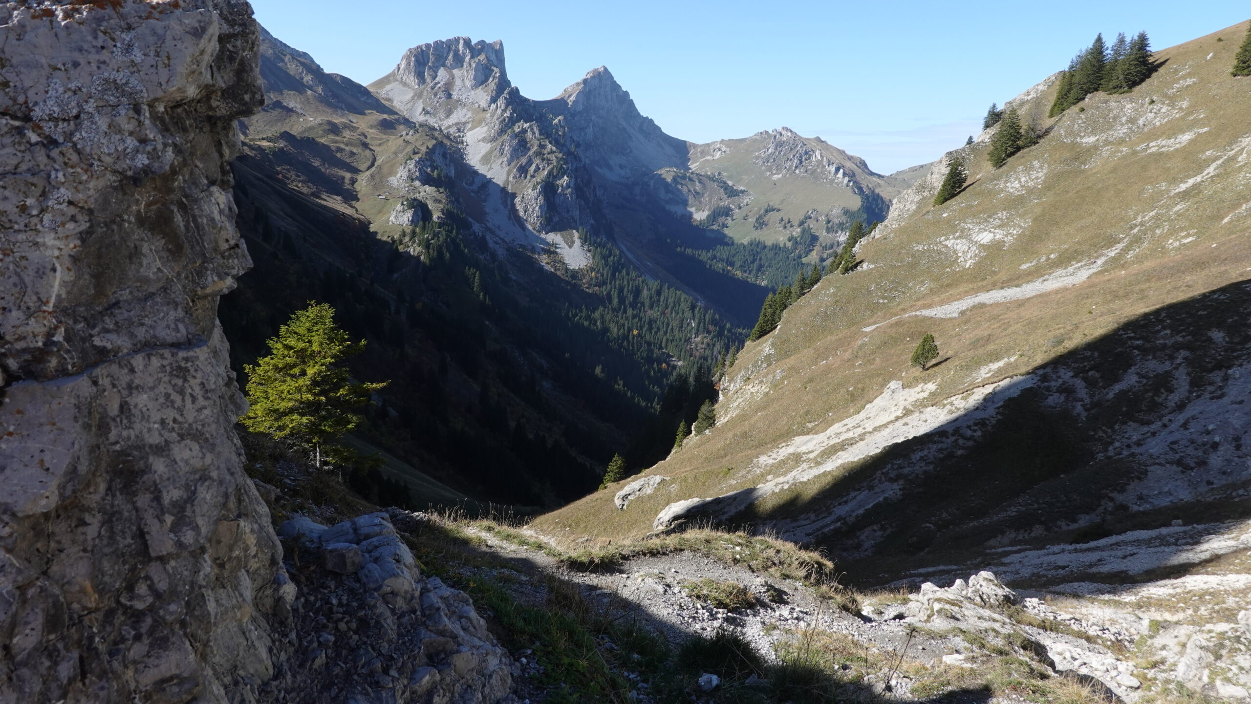
Use the car park at Le Bouveret station (2,555,025 / 1,137,265 / 373 m) or, better still, the train. Head due south up to the heights of Le Bouveret and reach the church before following a small road heading west. At Savorey, watch out for the yellow markings as you walk a few metres up a small stream on the edge of the property before heading into the forest. Continue in the direction of Essert until you reach junction 456, which joins a forest road. At junction 545, you join the tarmac road leading to the hamlets of Frénay and Clarive. At the Tine bend, a small path leaves the road and joins it higher up, still on the Swiss side. Don’t miss it, it’s charming. Then the climb takes you up to the Au de Morge cowshed and a signpost gives you directions to the Col de la Croix before the Pas de Lovenex. Enjoy the breathtaking view of Clarens-Montreux-Territet heading north-east at around 12 km. The descent to Lac de Taney takes you along the valley road as far as pt. 1661 and continues on a slippery T3 path as far as Taney. This is the perfect place to stop. The rest of the route takes you along the left bank of the lake to the Pierre à l’Ours forest path at pt 1329. This is where you check your watch to see how much strength you have and how much time you have left. The climb up to Dérotchia takes you through the pastures in search of the path that takes you there. Follow the path behind the Dérotchia building to the Croix de la Lé, which you can reach without too much difficulty by crossing the scree at the summit.
The return journey takes the same route to the Pierre à l’Ours and from pt 1329 follow the sometimes steep path towards Chalavornaire. The rest of the way is around the bend in the road, at pt 1111, and takes you to the plain at Les Prés Dessous; be careful: the path is treacherous with its stones hidden under the leaves in autumn; proceed carefully. Wind gently through Chambovey, Les Planches and finally Les Mellets, following the yellow signs. You will then reach the church where you started and then Le Bouveret station. A good effort.