La Dotse

Location
Left bank of the Rhône, in the Bas-Valais, Val Ferret, above La Fouly.

Descriptif
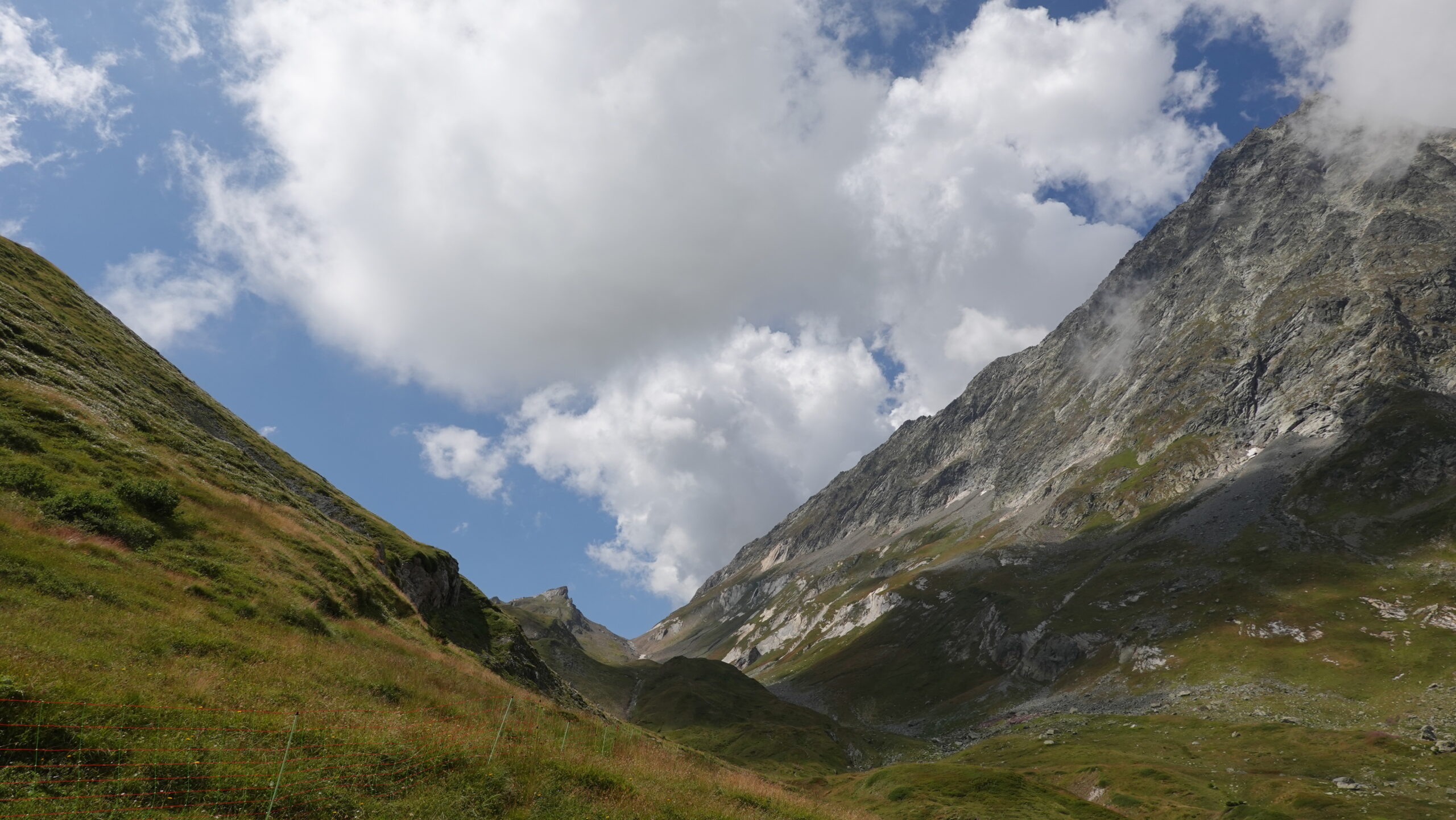
Easy mountain trail with magnificent panoramic views, bordering Italy and nearby France.

Total length
29 km-effort

Walking time
13.45 km

Elevation + et –
+/-1142 m
Altitude: between 1639 and 2559 m

National hiking map 1:25’000
Orsières 1345

Best period
July to September

Difficulty
T3
Useful information
parking along the road at Le Clou. The use of poles may be useful on the return journey below the summit of La Dotse.
Itinerary
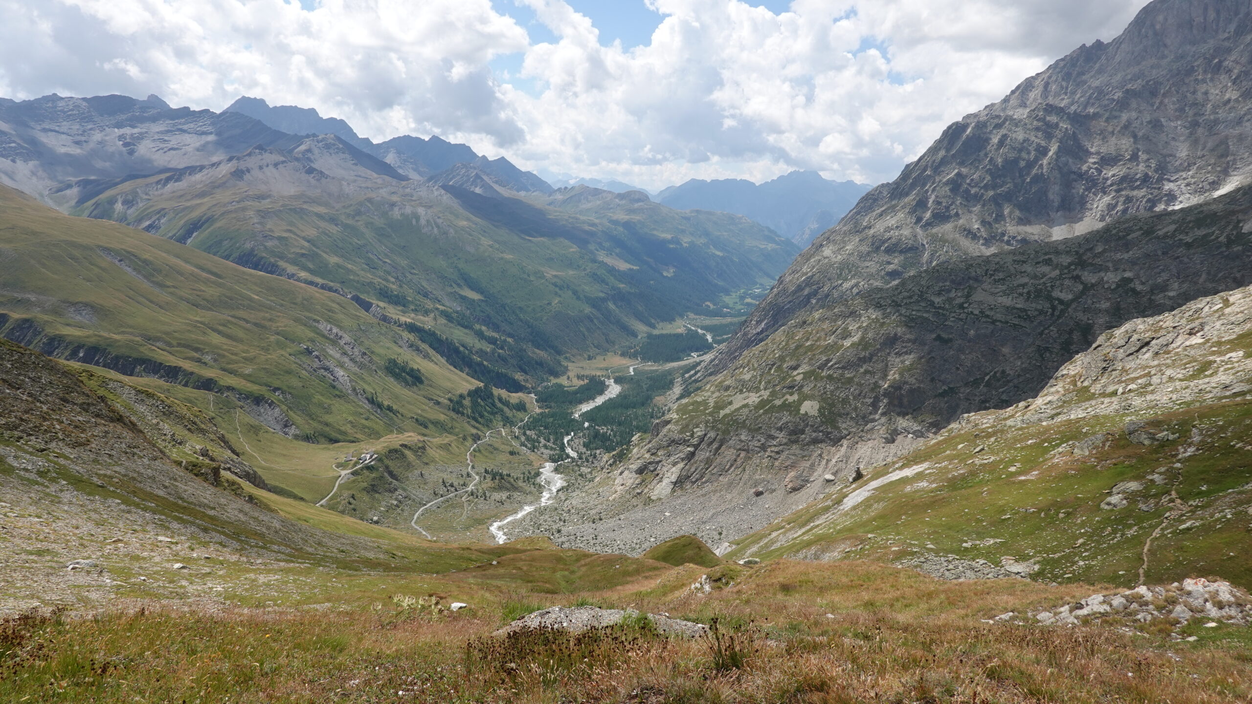
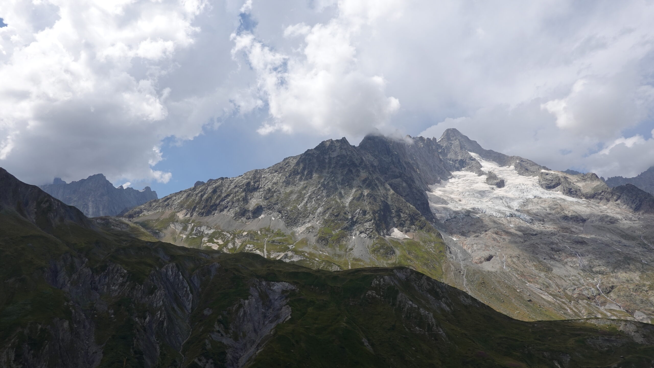
Start from Le Clou (2’573699/1’085’833/1641 m) and cross the Dranse de Ferret below the road leading to Ferret. Then follow the signs for the Gîte hut via Léchère-Dessous and Léchère-Dessus. Follow the south face of the Crêtet de la Gouille first to the saddle and pt 2144 and then uphill to pt 2270. Do not look for the path leading from Planfins-de-la-Léchère to the summit of Tête de Ferret on the left as you climb up, as it is poorly signposted. Instead, follow the signs for the Petit Col de Ferret at boundary marker 2459. The Grand Col de Ferret can be reached at the same time, paying particular attention to the loose slabs that can be dangerous on the Italian side. From the Grand Col de Ferret, keep your altitude to reach the Arête des Planfins as quickly as possible, which leads to the summit cross at La Dotse.
The descent is due north, virtually trackless, to an altitude of 2,000m via the Crêtet de Létemeyre. Go as far as Planproz and follow the path through a very pretty wooded area as far as Letemeyre at point 1771. Fork right to the river bank and follow it for 450 m, turning left to cross the bridge over the Torrent du Merdenson. You will then be close to the finish, crossing the Dranse de Ferret once again. Well done!