La pointe de l’Aiguille

Location
Right bank of the Rhône, in the canton of Vaud, above Villeneuve.

Descriptif
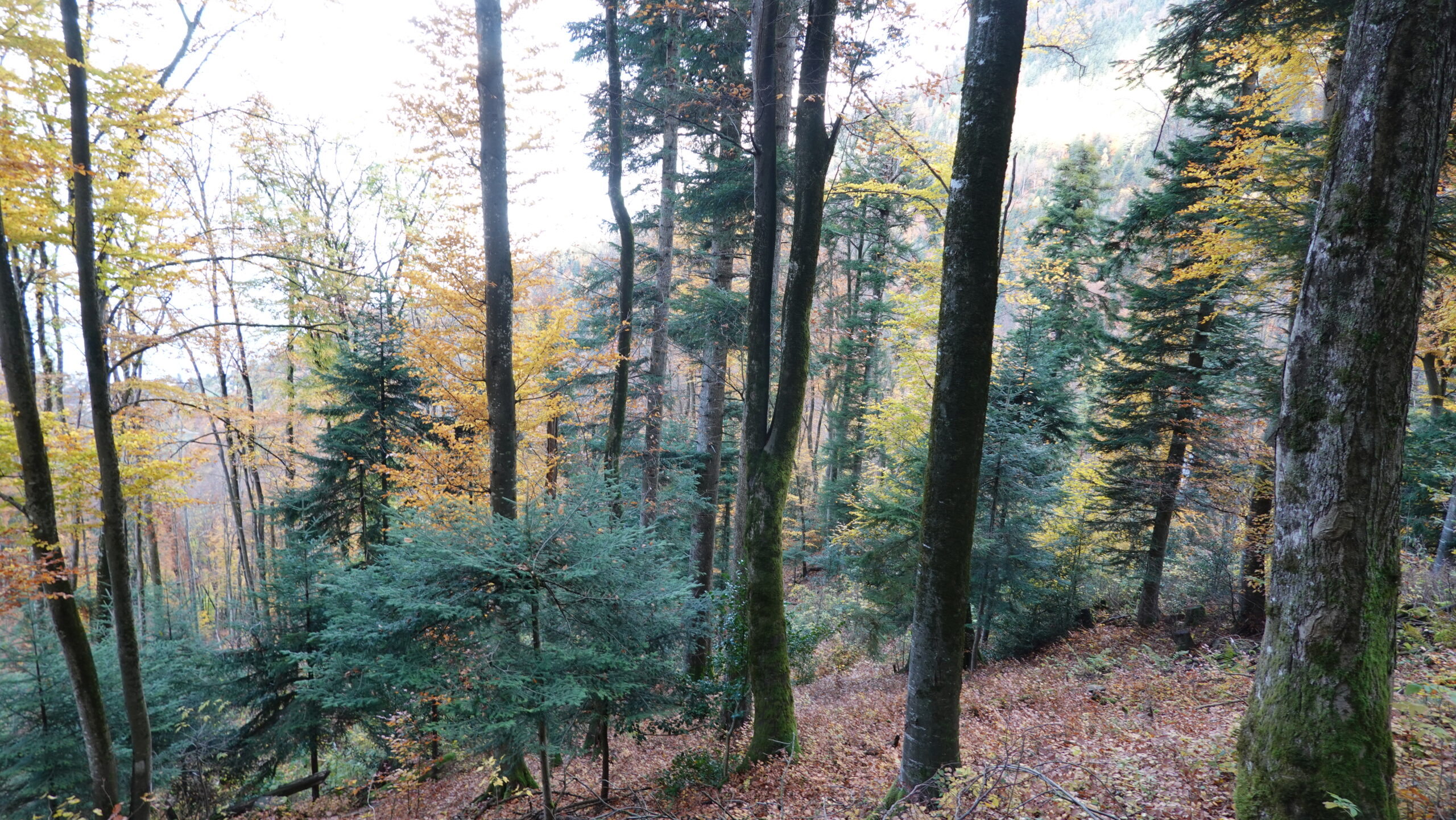
Medium trail for those used to steep paths or ridge paths. Starts from Villeneuve and takes just a few kilometres to reach the top of the valley. A very pretty, wild trail through a mixed forest of coniferous and deciduous trees.

Total length
44 km-effort

Walking time
19 km

Elevation + et –
+/-1874 m
Altitude: between 372 m and 1927 m

National hiking map 1:25’000
Montreux 1264

Best period
June to October

Difficulty
T4
Useful information
Small crampons may be useful in autumn or winter. Poles are strongly recommended.
Itinerary
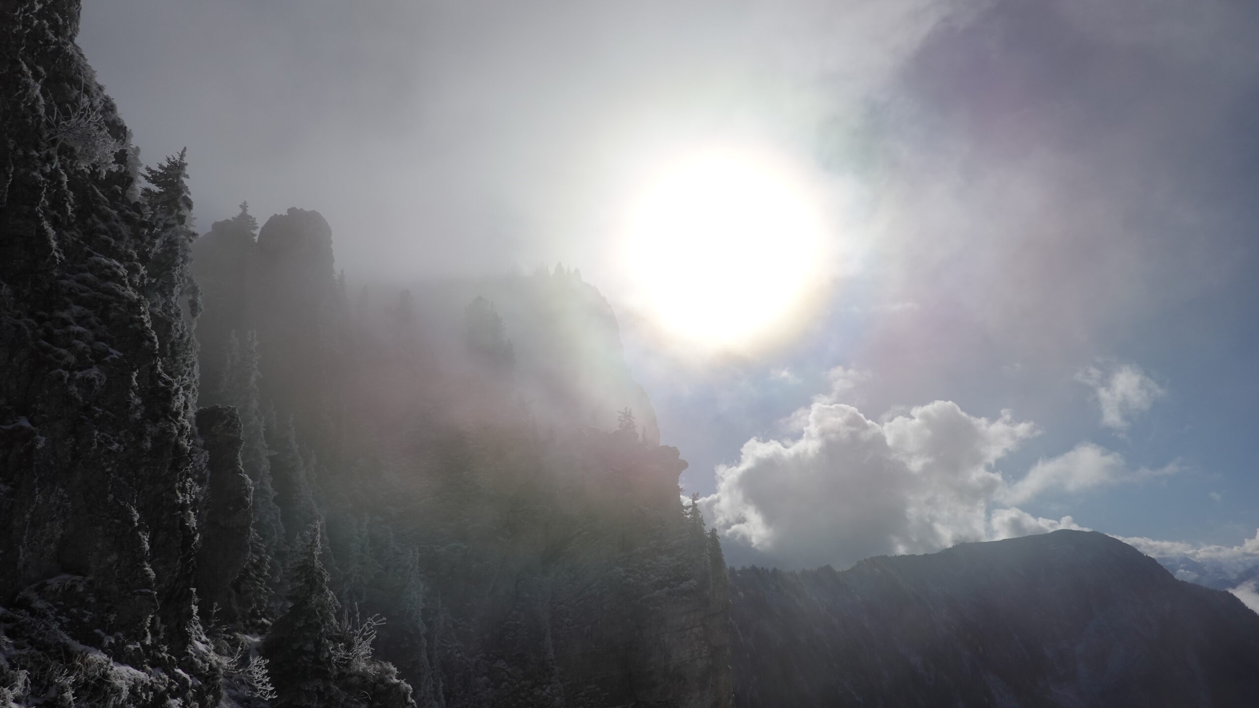
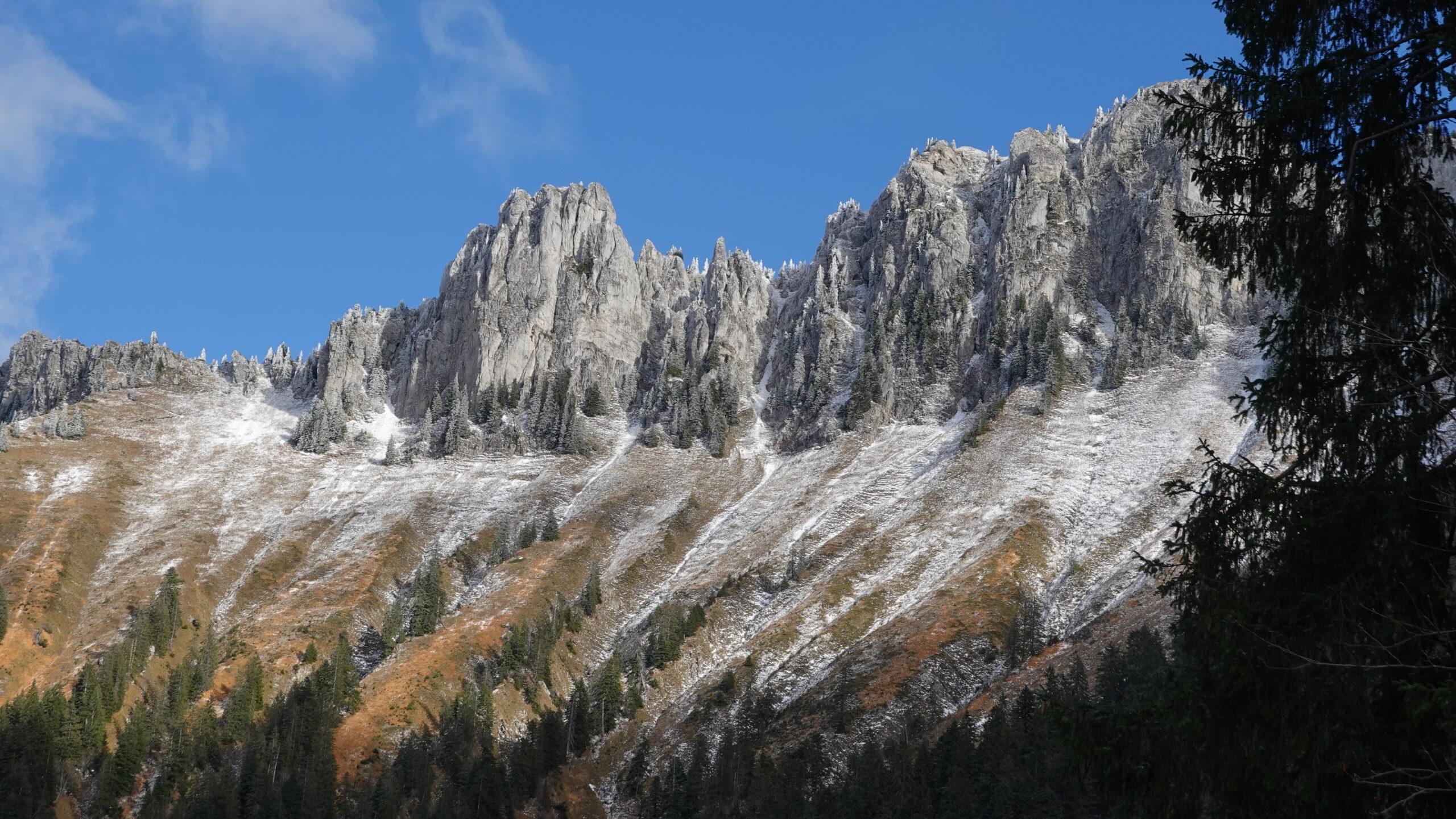
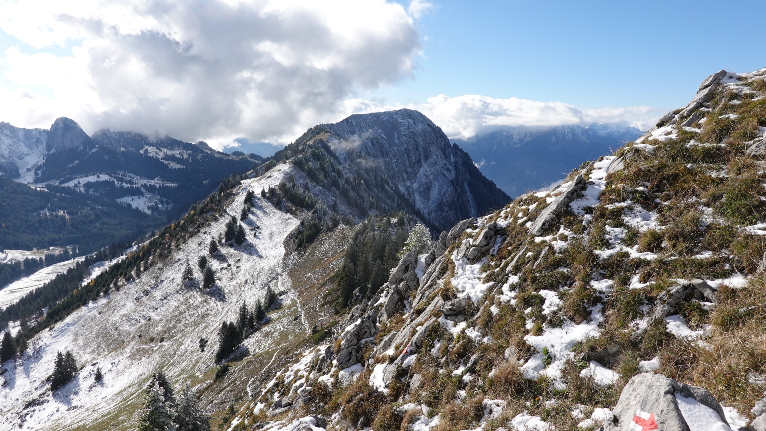
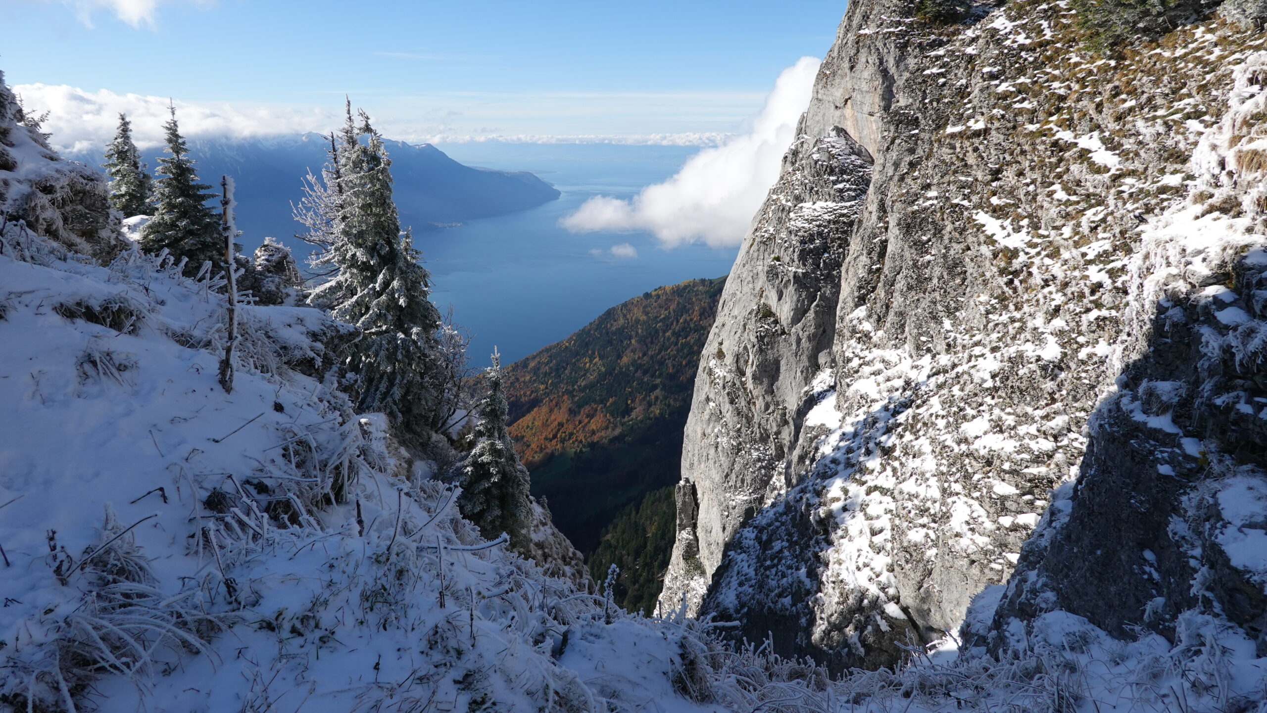
The route starts from Villeneuve station (2’560’663/1’138’645/375 m), which is recommended if you are parking a car or using public transport. From here, take the underpass that leads you onto the road to the east, which will quickly span the motorway some 600 m further on. Then head south to the heights of Valleyre for the first part of the route (T3), which winds through the Granges forest to the Pas de l’Âne below Malatraix. It’s steep and demanding, especially the final section, which is equipped with chains for the trickiest sections (T4). Beware of the state of the terrain! From the Pas de l’Âne, follow the ridge to the Pointe de l’Aiguille, which the path skirts around to the east. Reach Pertuis d’Aveneyre before starting the descent. The view is magnificent.
The return journey continues along a mountain path that leads to Petit Tour and then on to Auféru. Please note: the route via Joux des Pierraires is closed from November to May. Using the route through Noirmont, below point 1317, seems a good idea. Next comes a route that is less interesting for the mechanics of the skeleton: the tarmac road is unavoidable for more than a kilometre. At point 704, the road joins the ascent towards the town via Gotale. The loop is complete.