Le Christ – Roi

Location
Right bank of the Rhone above St Léonard, at the height of Lens.

Descriptif
Easy low altitude trail, between mountains and hills, in T2-T3 to start a season or keep fit. The trail runs along three different bisses (Clavau, Gd bisse de Lens and de Sillonin). Guaranteed tranquility and perfect variety of landscapes. Minimum equipment.

Total length
35 km-effort

Walking time
20.74 km

Elevation + et –
+/-1034 m
Altitude: between 507 / 1269 m

National hiking map 1:25’000
St Léonard 1286

Best period
April to November

Difficulty
T3
Useful information
Itinerary
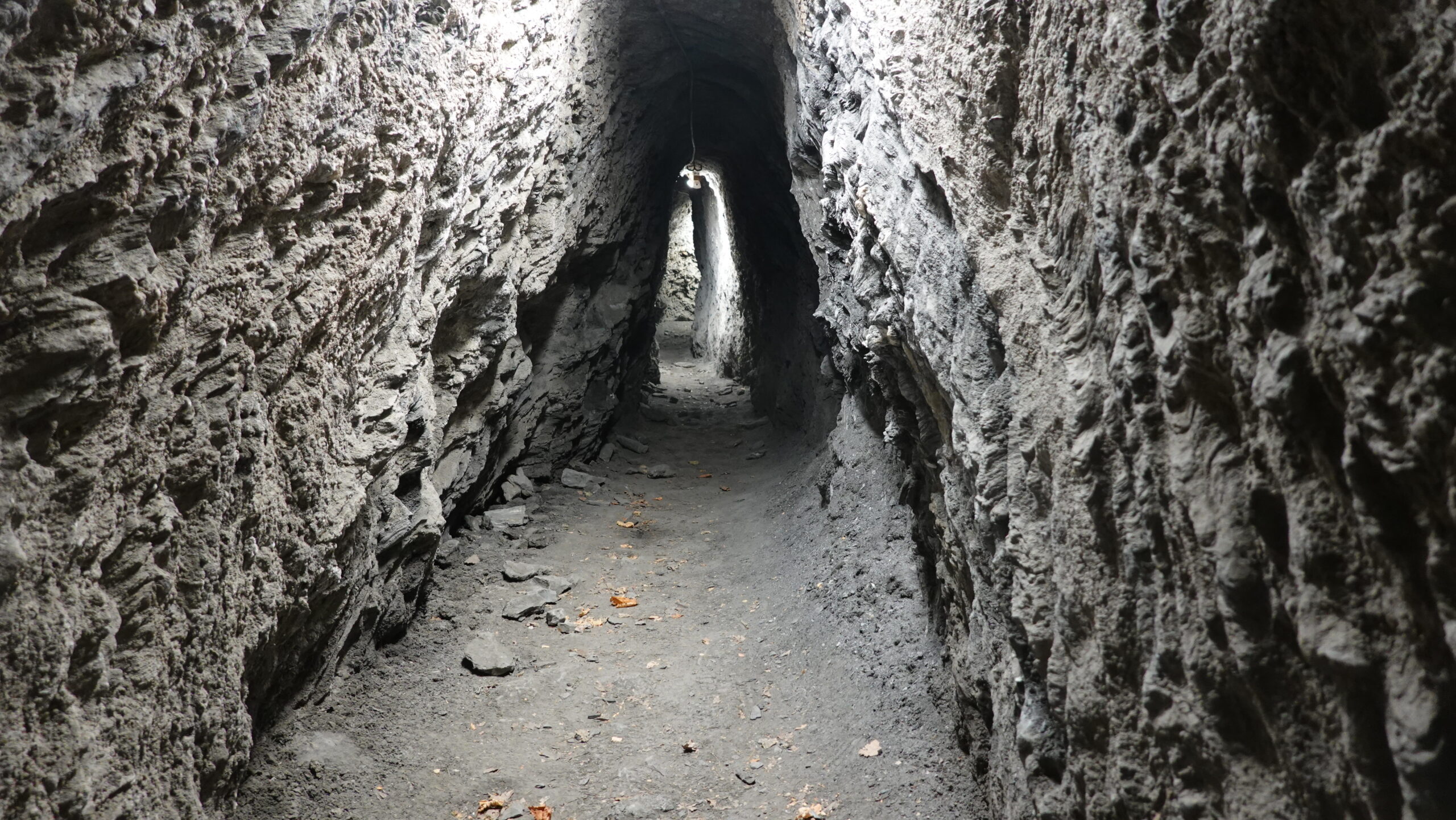
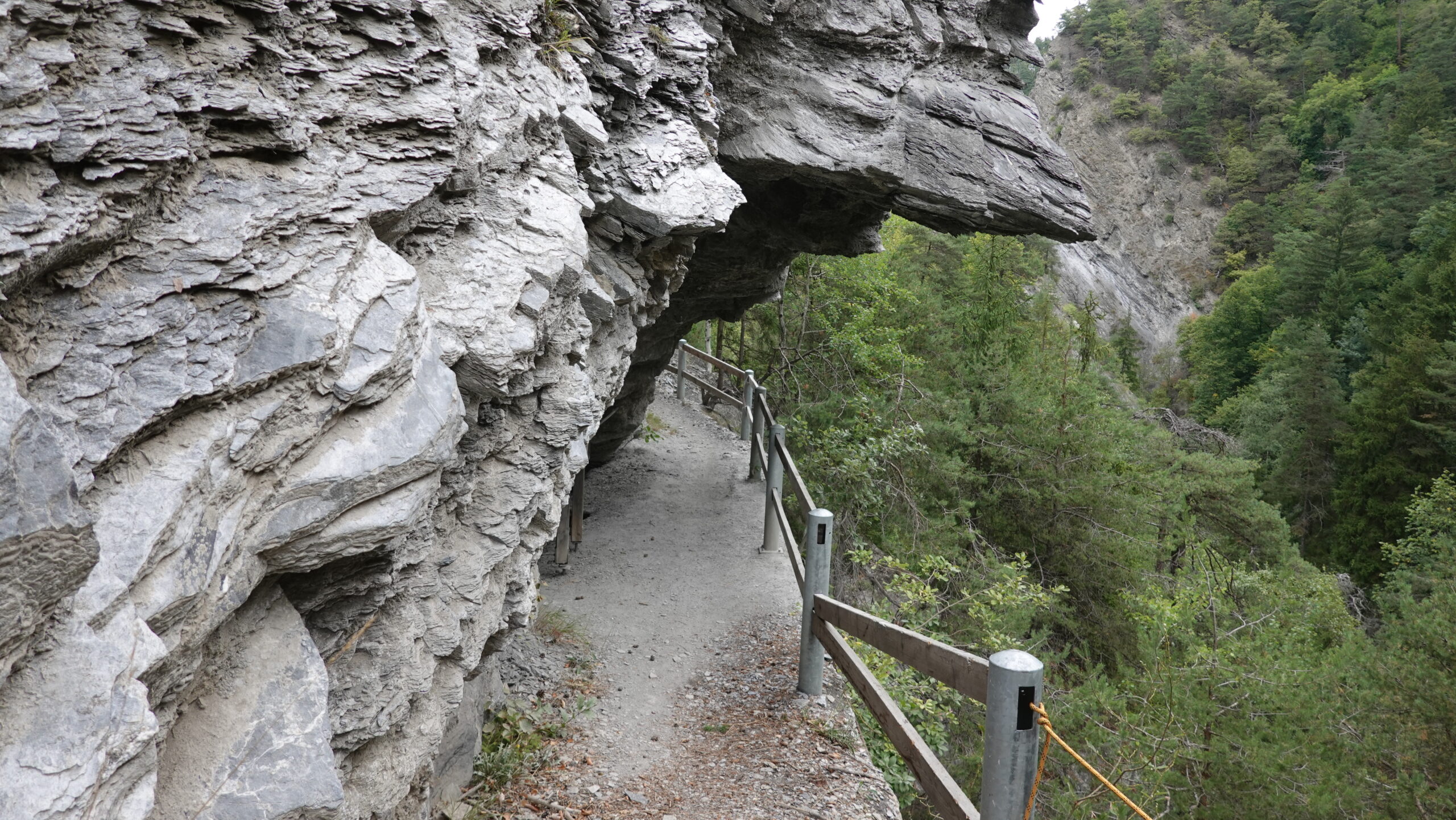
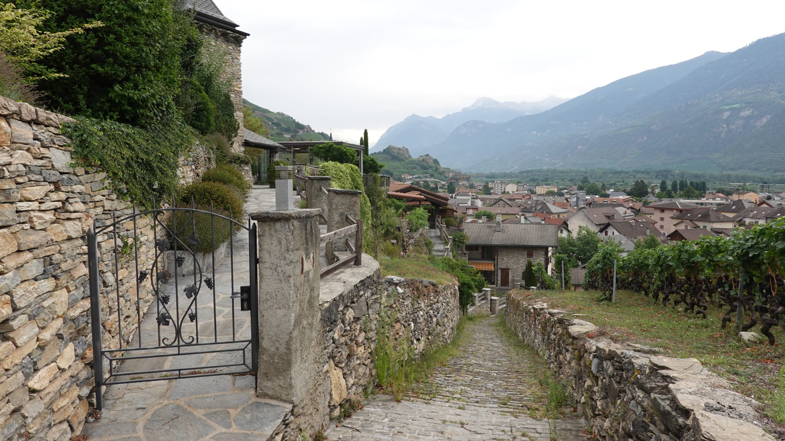
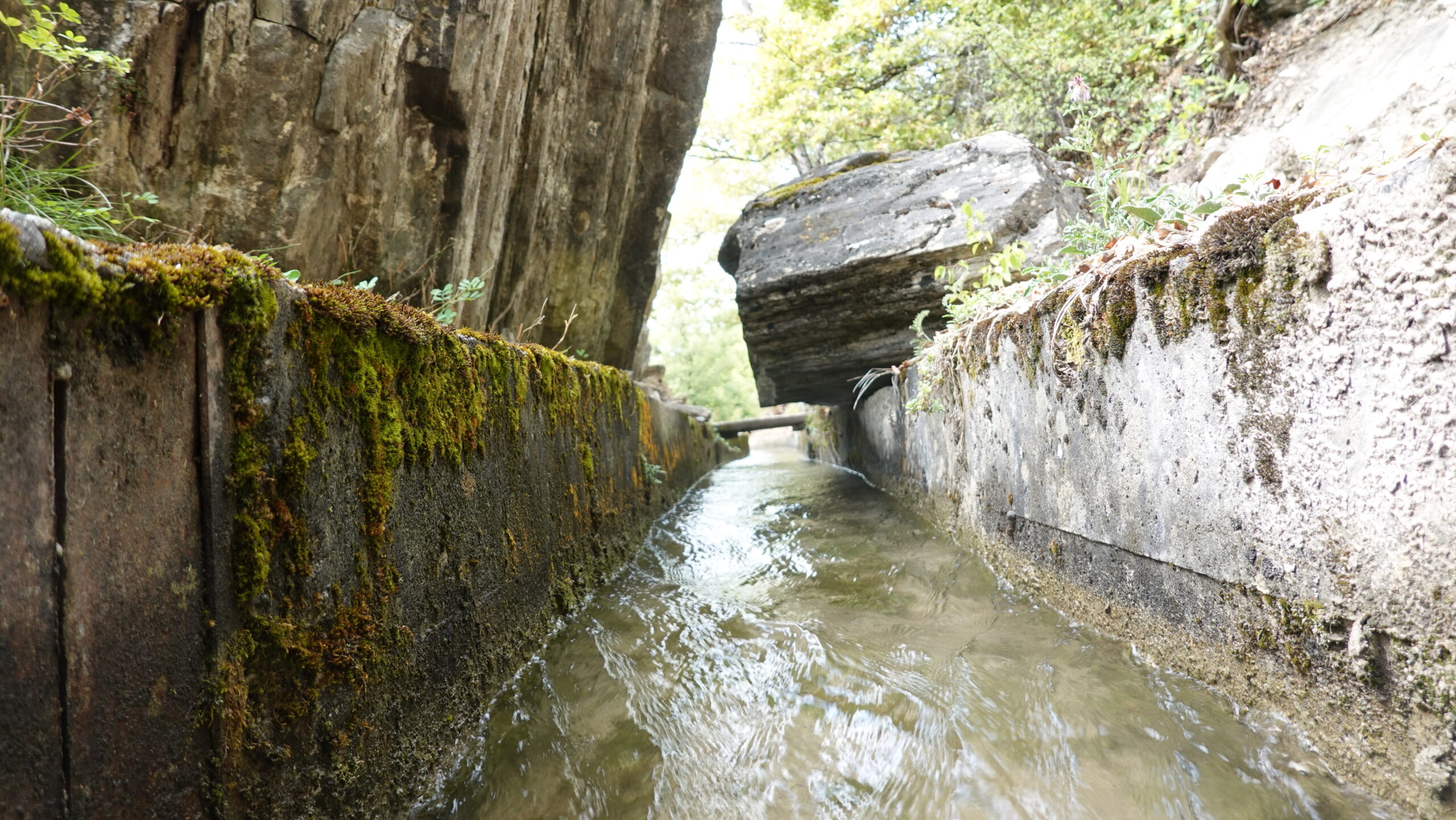
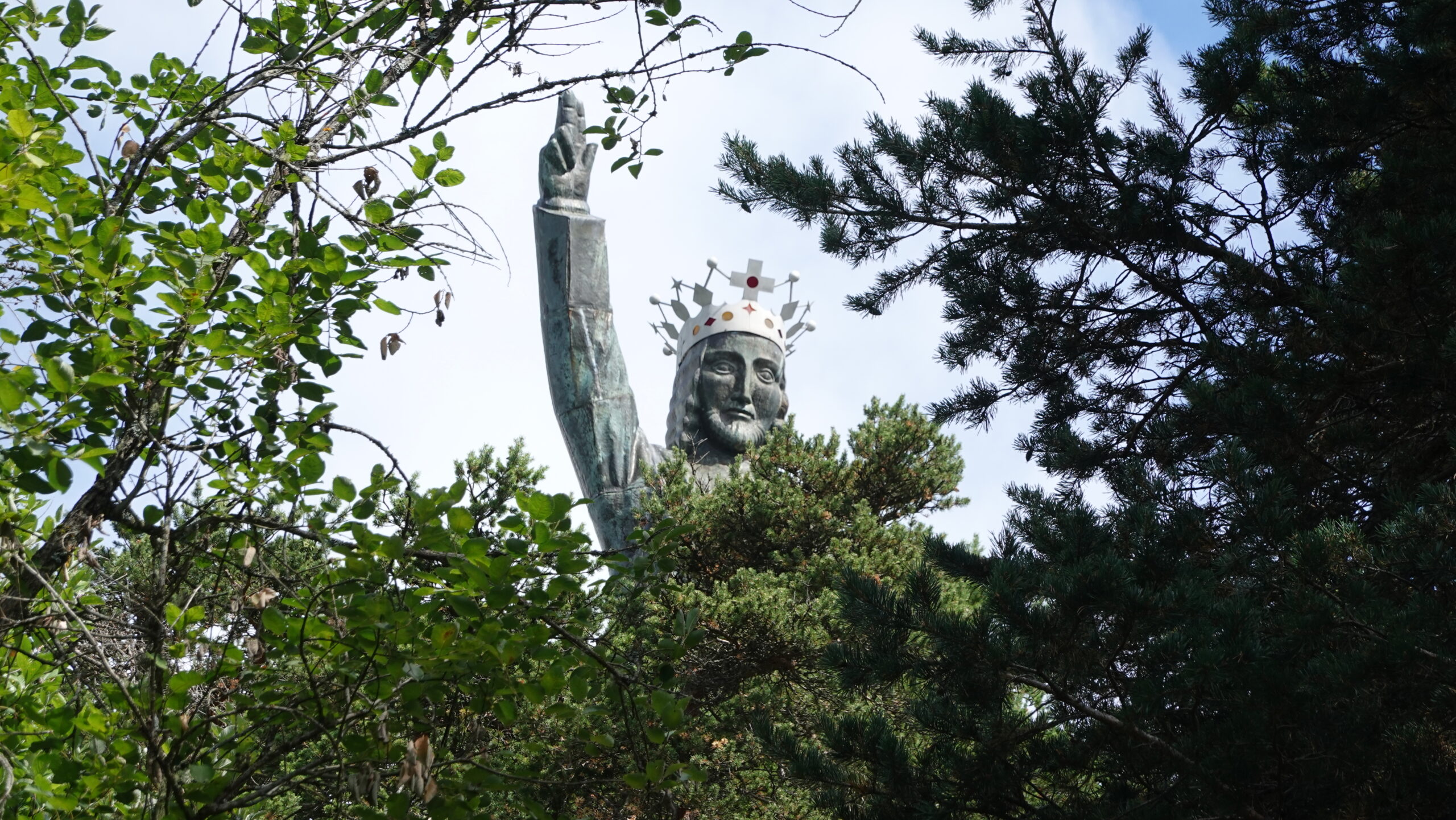
Join the village of St Léonard to the East of Sion. Go to the starting car park (2’598’049/1’122’801) and go up the Liène to the bridge that spans it inside the village. Return to the opposite bank and start the climb through the vineyards on an old paved road. Take the first fork on the right, going up a dirt road before joining the Bisse de Clavau. Go up the bisse, crossing the vineyards and even the tunnel, to point 690 (Les Hombes). Be sure to read the various explanatory panels on the flora, fauna and the hydroelectric utility of the installations encountered. Cross the Liène again and join the panels at point 922, following the direction of Sarmona, then the Châtelard ridge which joins the Grand Bisse de Lens at point 1029, continue following the ridge to reach the summit of Châtelard (or Christ-Roi). This is the ideal place to take a break.
For the descent, follow the Stations of the Cross, pass the football pitch and reach the path overlooking the shooting range from point 1128. Reach the Grand Bisse de Lens by a path descending on your left and follow the flow of the bisse in an easterly direction to point 1009 in the contour of the cantonal road. Start the descent by a wide steep path, to Chelin. Cross the village and head west on the main road for 300 m before reaching the Bisse de Sillonin on your right. Follow the route to point 755 before diving into the countryside then the vineyards overlooking St Léonard. As soon as you return to the tarmac, carefully follow the official yellow markings to the north of the church, then to your starting point at the car park.