Le Galihorn

Location
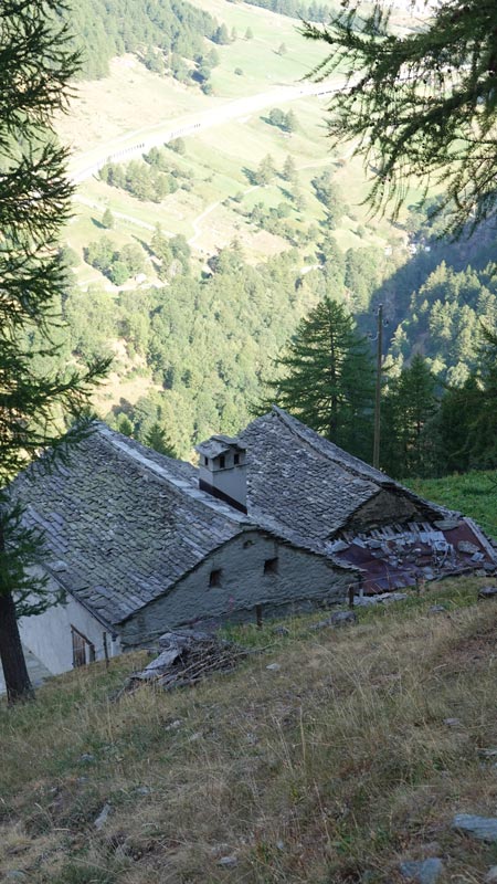
Left bank of the Rhone, in the Upper Valais, on the Simplon road, above Gabi.

Descriptif
Medium mountain trail but requiring essential equipment such as a first aid kit, means of communication and orientation: the change of scenery is total.

Total length
39 km-effort

Walking time
17.30 km

Elevation + et –
+/-1623 m
Altitude: between 1240 and 2512 m

National hiking map 1:25’000
Simplon 1309

Best period
July to September

Difficulty
T3-T4
Useful information
Altimeter required to validate your position on certain sections that do not exist.
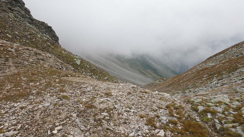
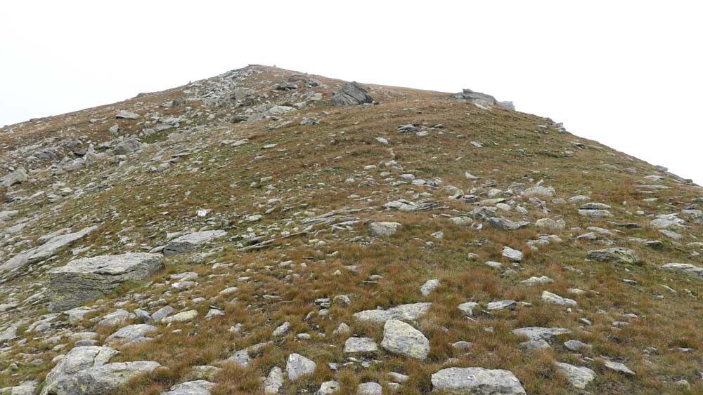
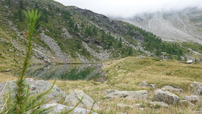
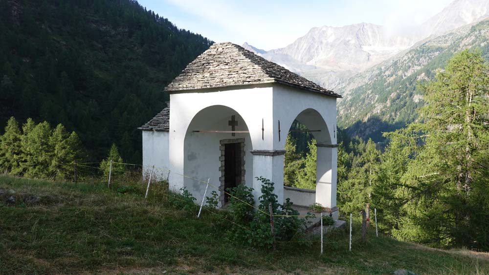
Itinerary
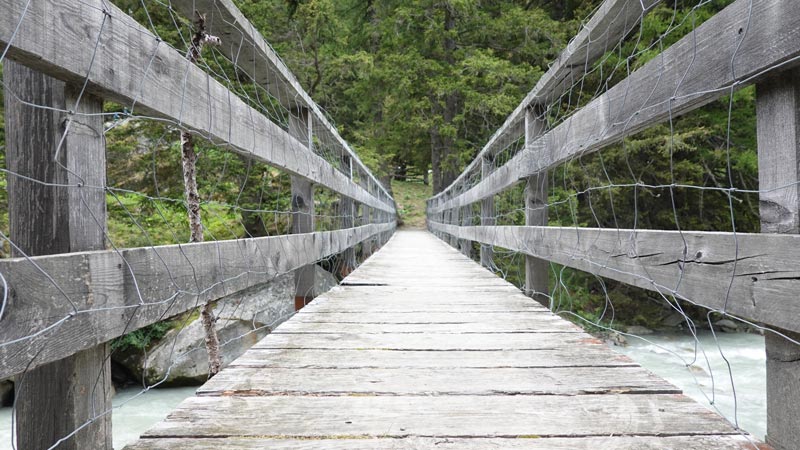
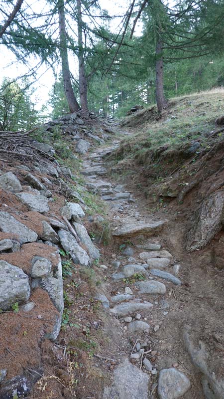
The start can be from Gabi but I suggest you do it under the bridge at the Stitzjini point (2’648’951/1’114’230/1270 m). Go down towards Gabi along the Laggina torrent to the Gsteihuis bridge and take the steep paved path that leads without any difficulty to Furggu. This is a section of the Gondo Marathon. From Furggu, reach the cross that dominates the pass to the West and from this position aim for the high-voltage pylon in a south-west direction. Follow this direction for 500 m and join the path marked white-red-white. This section is grazed and the path does not exist, trampled by cattle through the Rhododendrons and blueberries. The narrow and steep path does not allow for a fast run: be careful in certain passages if the ground is wet. Continue without risk of error first under the Tschuggmatthorn and reach the ruins of the alpine pastures along the path under the Guggilisgrat. Then join the Brichtola valley up to point 2112 of the Galu ridge. Continue down to the small Alpa lake and head due south as soon as you see the first scree of torrential lava. Stay on your left as you go up these scree which allows you to see the path somewhat erased. From point 2103, the path is again passable and takes you to point 2295; decision point for the rest of the race and for the planned summit. For the Galihorn, follow a slightly marked path and for the Galgilicka, continue towards the pass at 2510 m. This is the solution I chose, the fog of the day preventing me from having any visibility. The descent is done by the same path as the climb to the Alpa lake. It then heads to Obre Staful at point 1942 and then through the Pästuwald forest to the Laggina river at the bottom of the valley. The return on a dirt road takes you following the yellow hiking signs to your starting point.