Le Mont de l’Arpille

Location
Right bank of the Rhone above Martigny in the Lower Valais.

Descriptif
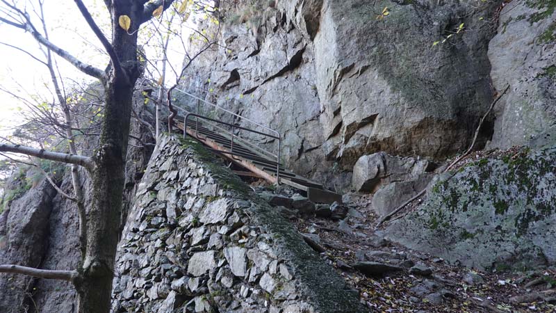
Trail of average difficulty with steep passages equipped with chains. Route sometimes very poorly marked.

Total length
48 km-effort

Walking time
22.7 km

Elevation + et –
+/-1912 m
Altitude: between 453 m and 2085 m

National hiking map 1:25’000
Barberine 1324 and Sembrancher 1325

Best period
June to November

Difficulty
T3 – T4
Useful information
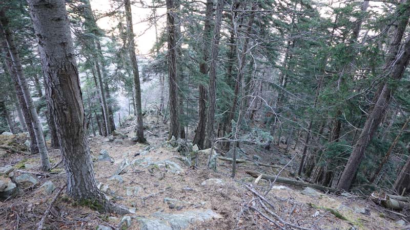
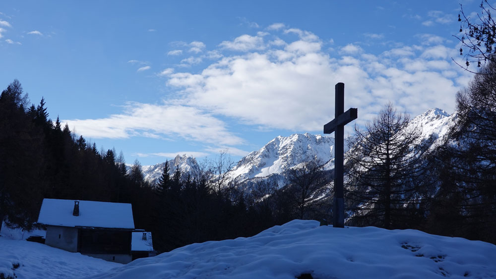
The first 1/3 of the route up to the place called Le Coeur, is in a steep forest, with few recent markings on a narrow path that can be dangerous. The exposed passages are equipped with chains. Poles are still useful.
Itinerary
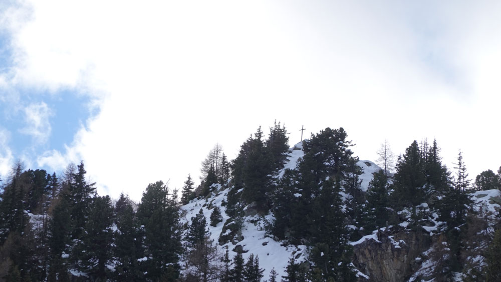
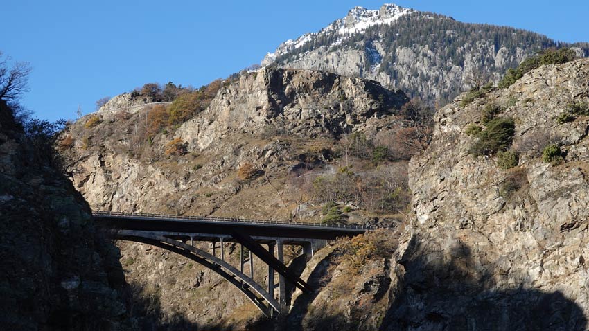
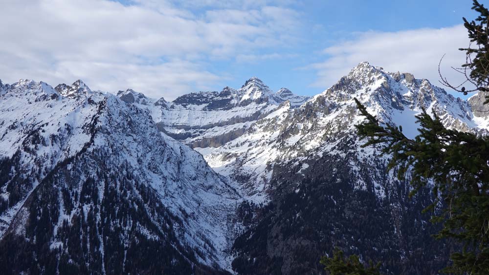
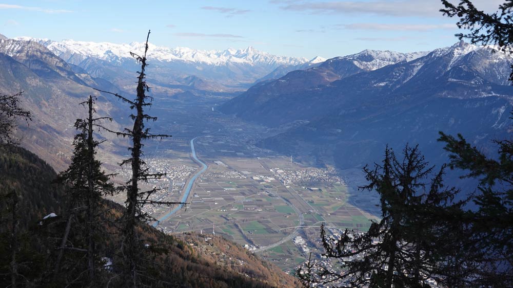
The start is from Vernayaz station; possibility of using public transport (2’569’495 / 1’108’875 / 458 m). Cross the cantonal road and take the T3 path (white-red-white) just before the bridge over the railway line. The stony path quickly sets the pace to the village of Gueuroz. Then follow the signs for the path that crosses the village until the next junction at pt 683. Warning: above the village, do not return in an easterly direction on the village’s protective mound. Continue under the wall, paying close attention to the path markings, which are not always recent. The elevation is rapid. Continue along the ridge to the Charavex clearing (pt 1445) and continue towards Coeur. From there, take the ridge that leads to Mont de l’Arpille via Le Temelet and La Cheutse. The path is still in T3 through a forest devastated by the bush hog. The route then follows the well-signposted signs to the summit of Mont de l’Arpille at pt 2085. The view is breathtaking. The return is made by the same path to pt 1830 of the Arpille mountain pasture. The descent path then goes towards the Rhone plain with a magnificent panorama up to the Grands Communaux (pt 1564) in the forest. Continue towards Chez les Proz then towards Ravoire-Martigny to the ruins of the Château de la Bâtiaz. From the plain, continue towards the northwest on the path between the rock face and the cantonal road which leads to the return point at Vernayaz. In case of exhaustion, the last km can be done by train from Martigny.