Le Témelet La Cheutse L’Arpille

Location
Lower Valais, towards the Col de la Forclaz, above Martigny and Ravoire.

Descriptif
Description: moderately difficult hike to reach Mont de l’Arpille via a less frequented route than from the Col de la Forclaz.

Total length
about 10 km

Walking time
about 4 hours

Elevation + et –
+/-774 meters
Altitude: between 1,474 and 2,084 meters

National hiking map 1:50’000
282 T Martigny

Best period
April to the end of October

Difficulty
T3
Useful information
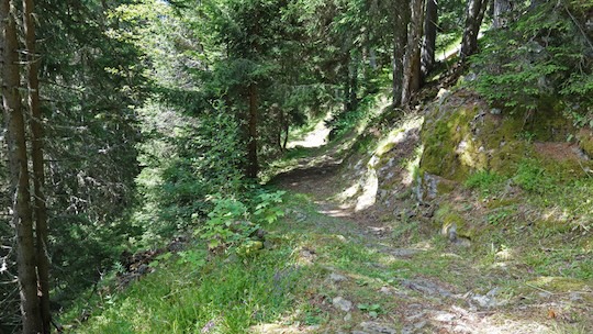
Magnificent, relatively uncrowded hike along a very well-maintained path.
Itinerary
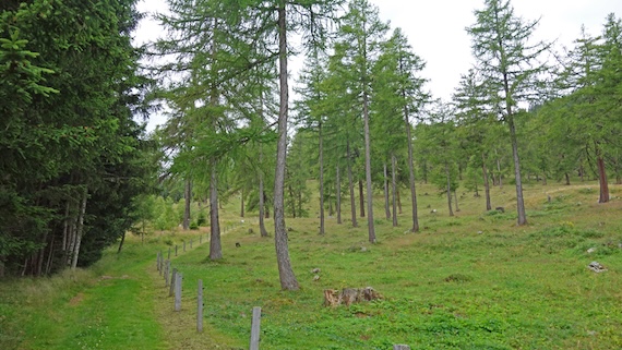
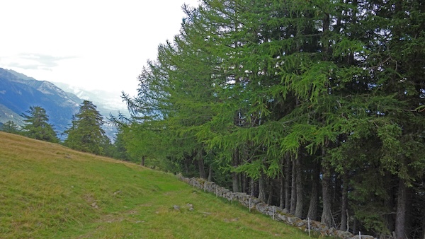
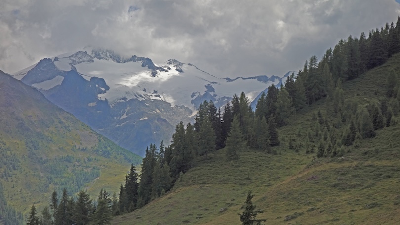
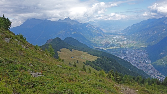
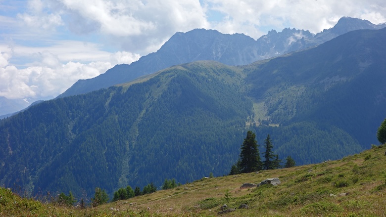
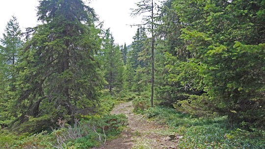
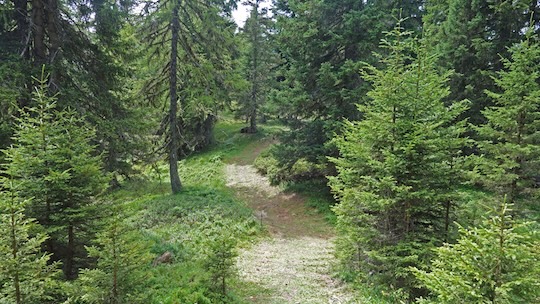
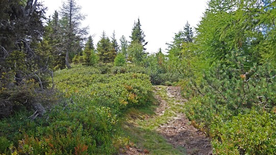
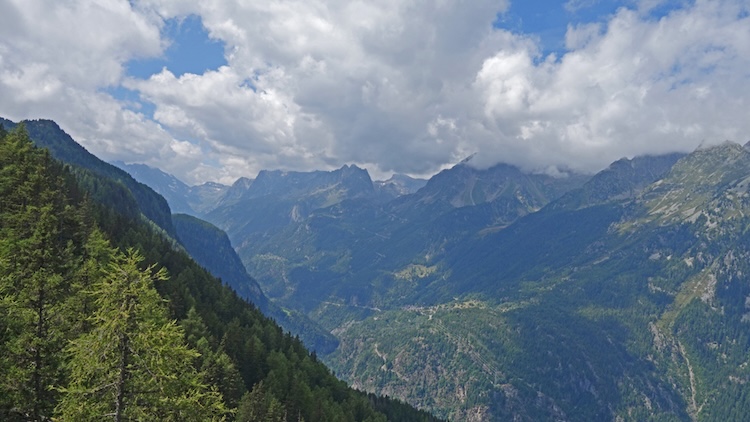
From Ravoire, reach the start of the route by following the direction “Chez Pillet” via the Route de l’Arpille. Follow this road to the altitude point 1473 after the place called “Le Bâtenat”. After this altitude point, the road is no longer asphalted. Follow it for about 300 meters and park in a space to the left of the road. Continue on foot along the road for 1 km until a hairpin bend. Leave the road and continue straight through the forest towards “Le Coeur”. From “Le Coeur”, altitude point 1605, follow the direction “Mont de l’Arpille, Le Temelet, etc”. At the top of “Temelet”, the panorama is magnificent over the Trient valley and the Alps of Lower Valais. The route continues towards Mont de l’Arpille along a hilly path, passing through “La Cheutse” before reaching the last pass to climb back up towards Mont de l’Arpille. From the summit, descend along the eastern slope towards the Col de la Forclaz and Alpage de l’Arpille. At the first intersection, follow “Alpage de l’Arpille, Grands communaux, Chez Les Proz”, first following a path and then an alpine road for about 800 meters. After passing the alpine chalets, leave the road to cross a pasture towards “Ravoire”. Follow this path through a magnificent larch forest to the altitude point 1564 and the place called “Grands Communaux”. Follow towards “Chez Les Proz, La Forêt, etc” until you reach the road taken at the beginning and descend towards the starting point.