Les Ancillons

Ort
Rechtes Rhône-Ufer oberhalb von Ardon.

Beschreibung
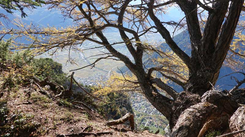
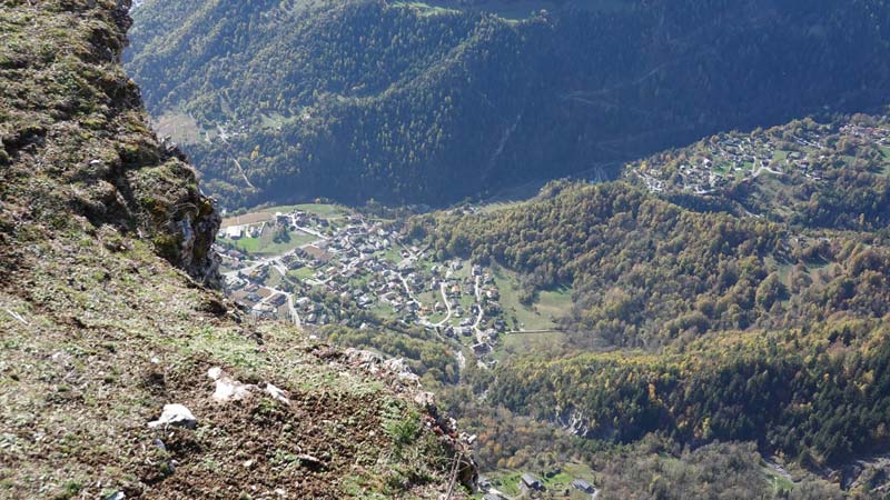
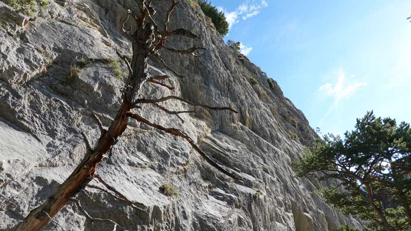
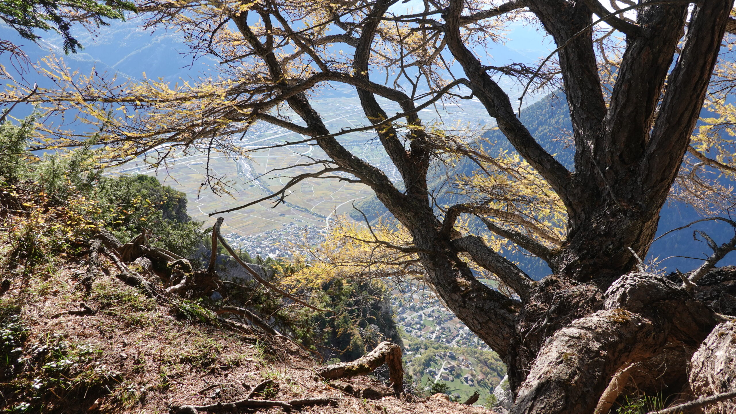
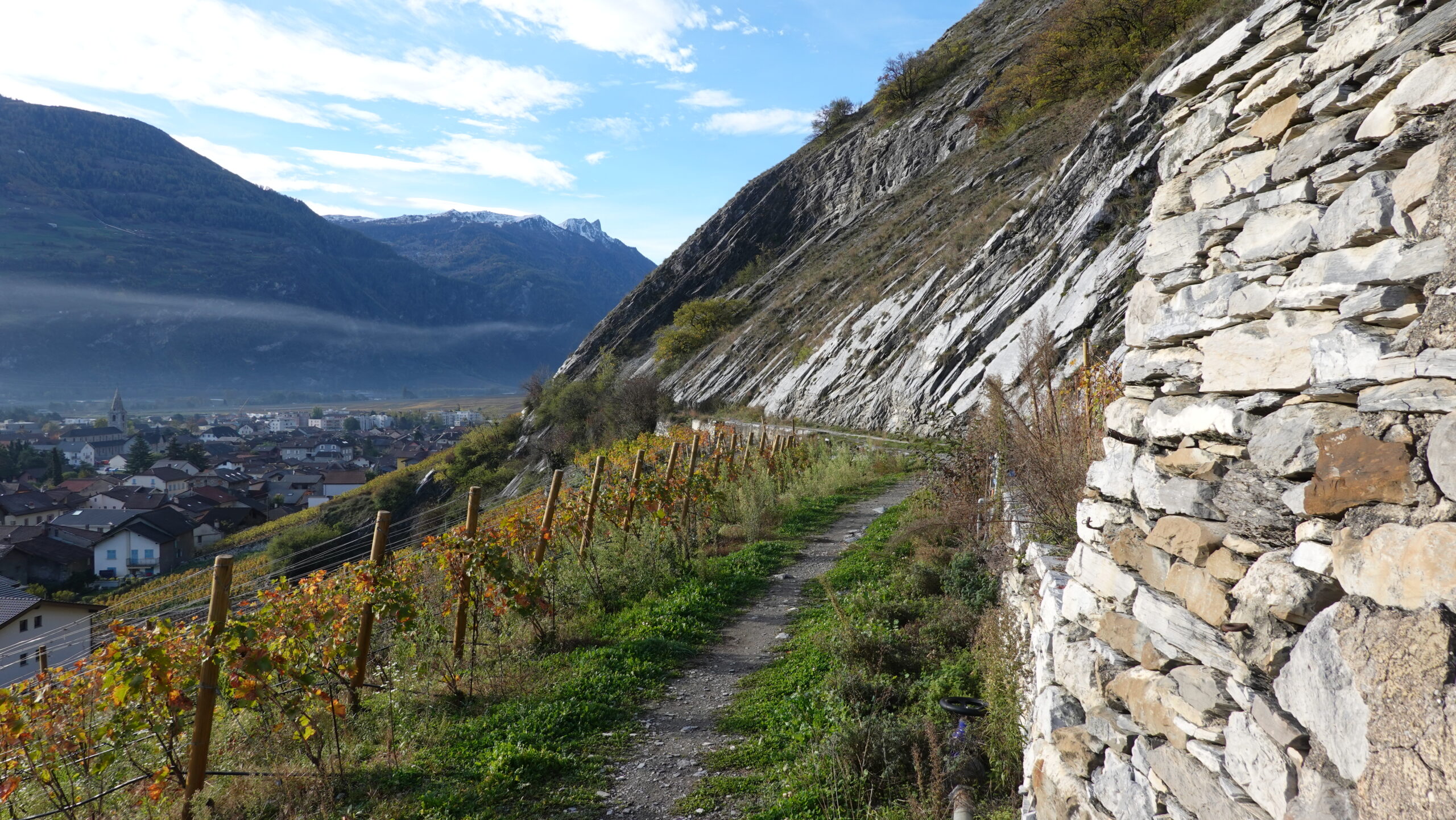
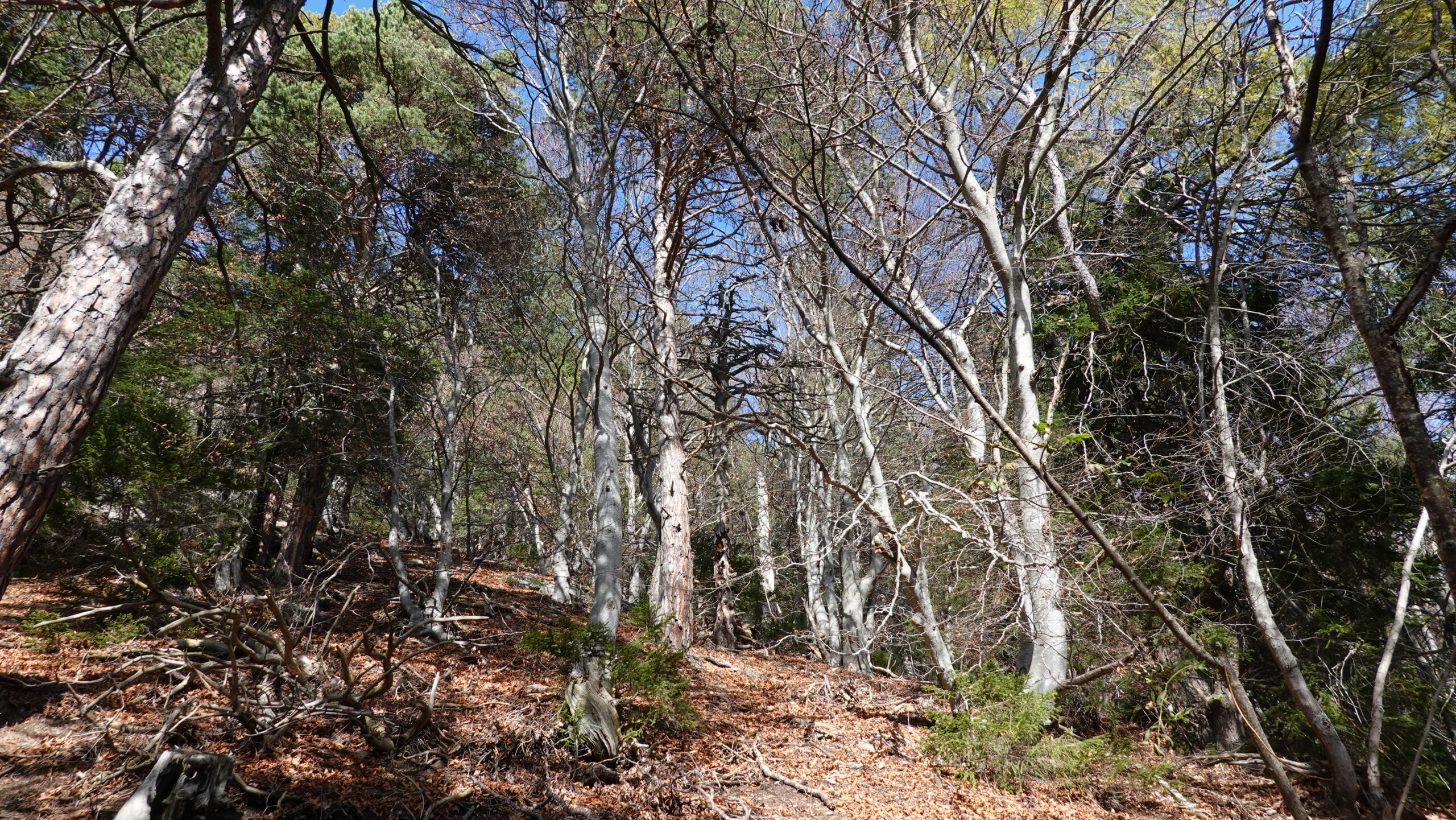
technischer Trail mit einem Luftabschnitt, der es Ihnen ermöglicht, den Gipfelgrat zu erreichen, nicht zu empfehlen für Menschen mit Höhenangst. Bei der Route handelt es sich um einen Bergpfad der Schwierigkeitsstufen T3–T4, der von der Ebene vor einer majestätischen Kulisse zum Gipfel des Ancillons führt. Einfache Orientierung und gut markierte Wege, jedoch bei zu hoher Luftfeuchtigkeit teilweise gefährlich. Die Route führt abwechselnd durch Laub- und Nadelbäume an einem Hang mit Blick auf die Ebene und ihre Weinreben.

Gesamtlänge
30 km-Aufwand

Wanderzeit
12,5 km

Höhenunterschied + et –
+/- 1312 m
Höhe: zwischen 483 und 1730 m

National Wanderkarte 1:25’000
Ovronnaz 1305 und Sion 1306

Beste Periode
Juni bis Oktober

Schwierigkeitsgrad
T2 et T3
Praktische Informationen
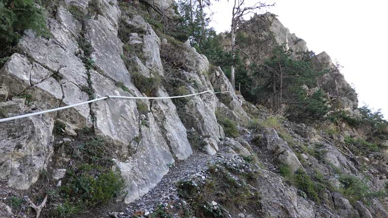
Sowohl beim Aufstieg als auch beim Abstieg sind Stöcke hilfreich. Die Orientierung ist kein Problem, man muss jedoch auf den Weg achten, der unter den Herbstblättern verschwindet. Die Route ist mit gelben Schildern gut markiert, aber ein Höhenmesser und eine Karte sind auf dieser Art von Route immer nützlich.
Strecke
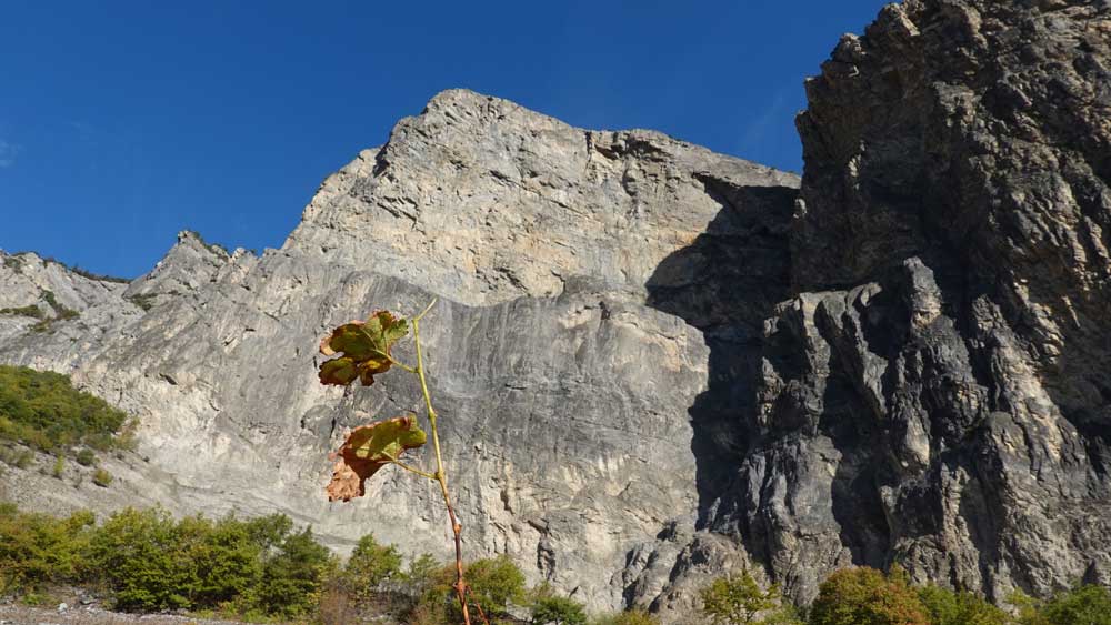
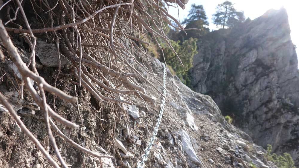
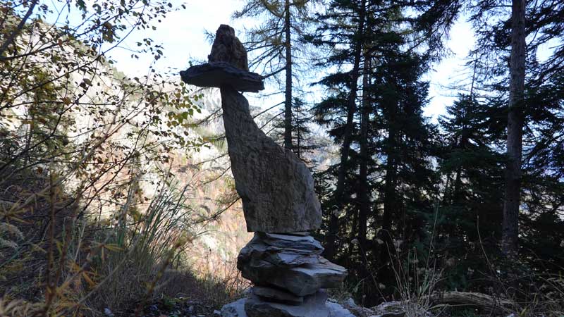
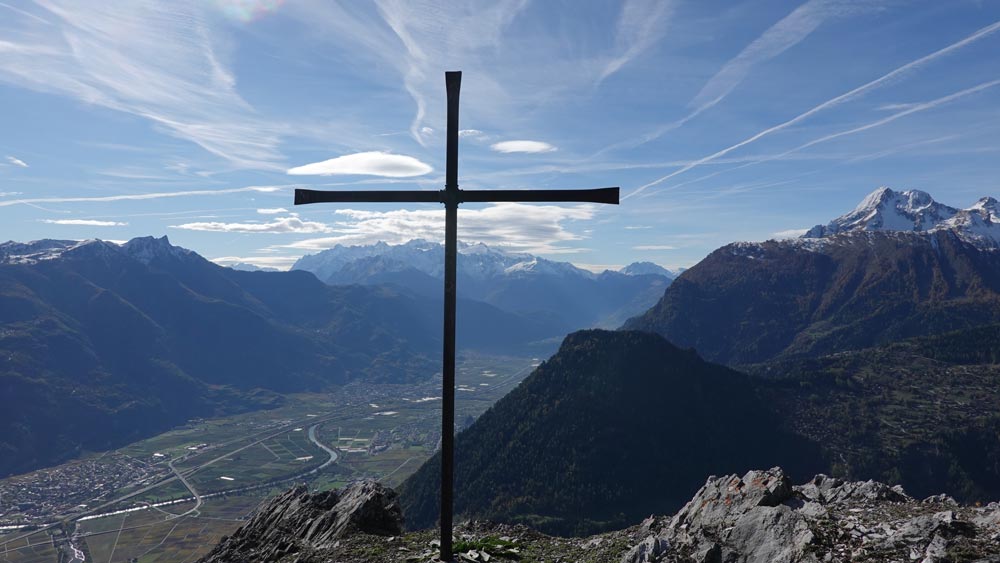
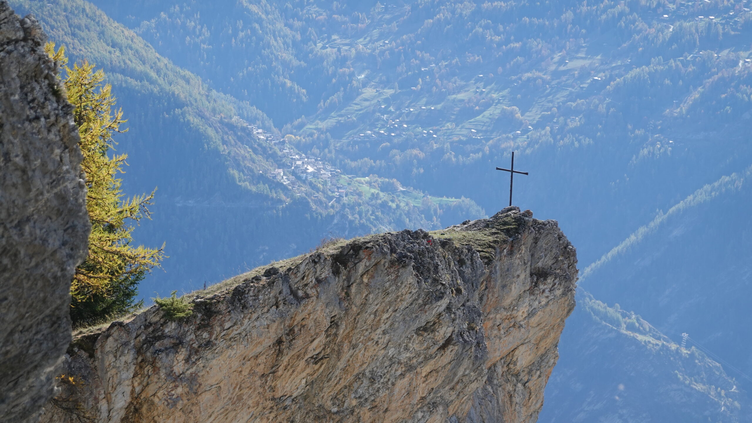
Ausgangspunkt ist das Kraftwerk Lizerne in Ardon (2.585.989 / 1.118.326 / 598 m). Der Aufstieg folgt direkt dem kleinen Pfad, der in einer Kurve ansteigt und in westlicher Richtung auf dem Weg der Suonenpromenade weiterführt, durch die Weinberge, die das alte Dorf Ardon überragen. An der Kreuzung mit der Asphaltstraße erreichen Sie das darunterliegende Dorf und folgen den gelben Schildern, die Sie durch den Weinberg unter den Klippen von Six de Gru führen. Im Übrigen laden gelbe Schilder sowie blaue, mit einem „S“ gekennzeichnete Schilder den Wanderer ein, durch die Weinberge zu schlängeln, um das Dorf Némiaz oberhalb von Chamoson zu erreichen. Am Punkt 950 folgen Sie der flachen Teichstraße 70 m weiter, bis Sie auf einem Weg T3 (weiß-rot-weiß) das Schild nach Routia, les Ancillons erreichen. Bitte beachten Sie: Dieser Weg ist luftig und für Personen mit Schwindelanfällen nicht zu empfehlen. Bei schlammigem Untergrund oder starkem Regen kann der Aufstieg gefährlich werden: Hier hat sich reißende Lava gebildet. Der Aufstieg ist steil und durch Schlüsselpassagen gekennzeichnet, die mit Handläufen ausgestattet sind. Die Atmosphäre bleibt passend: beeindruckend. Der Weg steigt schnell an und überblickt Chamoson, umgeben von Weinreben, um den Gipfel des Peuflaire unterhalb der Ancillons zu erreichen. Am Punkt 1305 biegen Sie links in einen Wald aus majestätischen Buchen ab, um Les Ancillons zu erreichen, das durch ein Kreuz mit Blick auf das Tal gekennzeichnet ist.
Der Rückweg folgt dem Grat in Richtung Norden und am Punkt 1716 beginnt der Abstieg mit seinen Wurzeln und toten Blättern. Der Weg ist uneben und lässt kein schnelles Laufen zu. Die gelben Schilder weisen dann regelmäßig in Richtung des Dorfes Ardon und der Abstieg stellt keine großen Schwierigkeiten dar. Die Landschaft ist noch immer wild und mit etwas Glück können Sie Gämsen oder, noch seltener, Luchse sehen. Halten Sie die Augen offen.