Les Ancillons

Location
Right bank of the Rhone above Ardon.

Descriptif
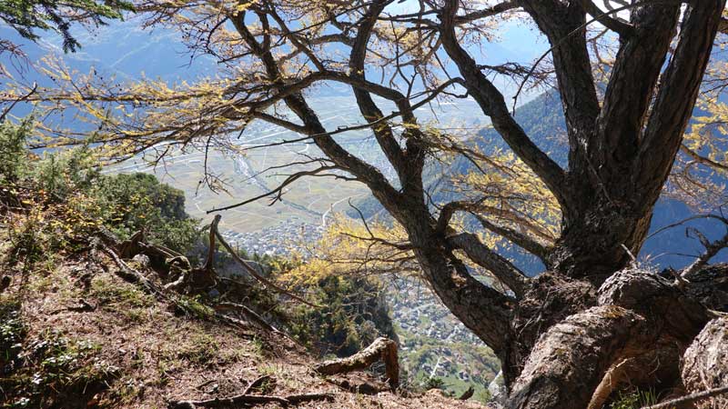
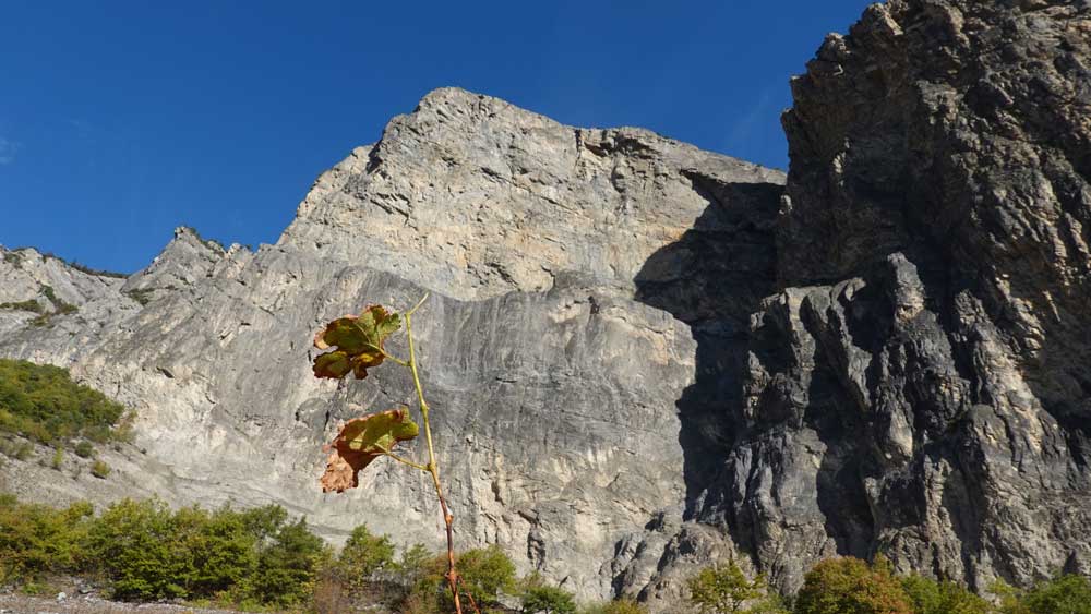
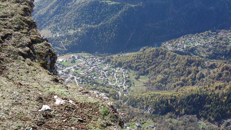
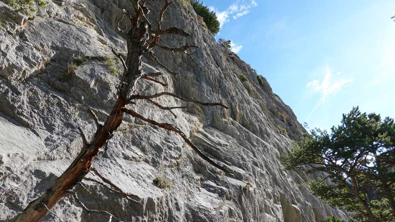
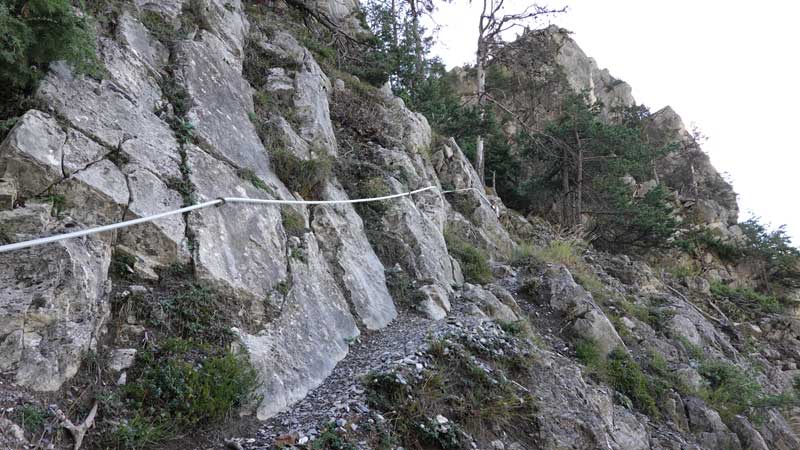
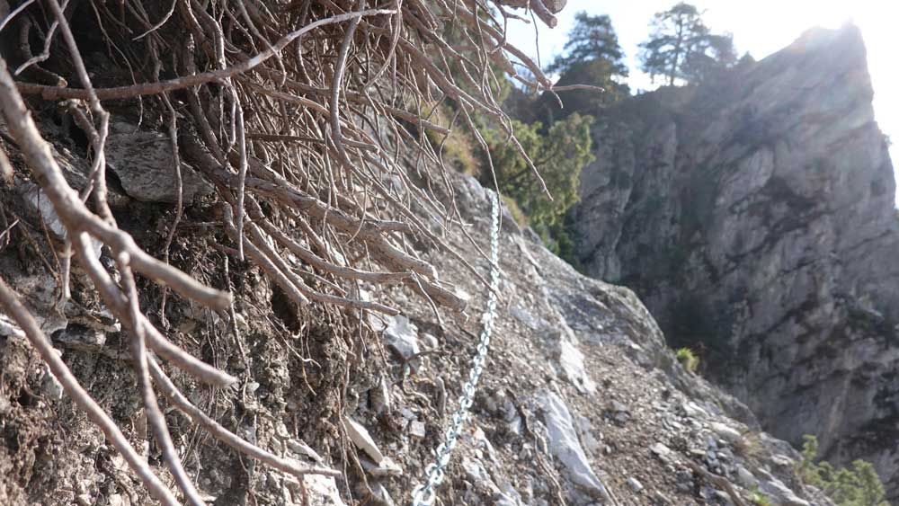
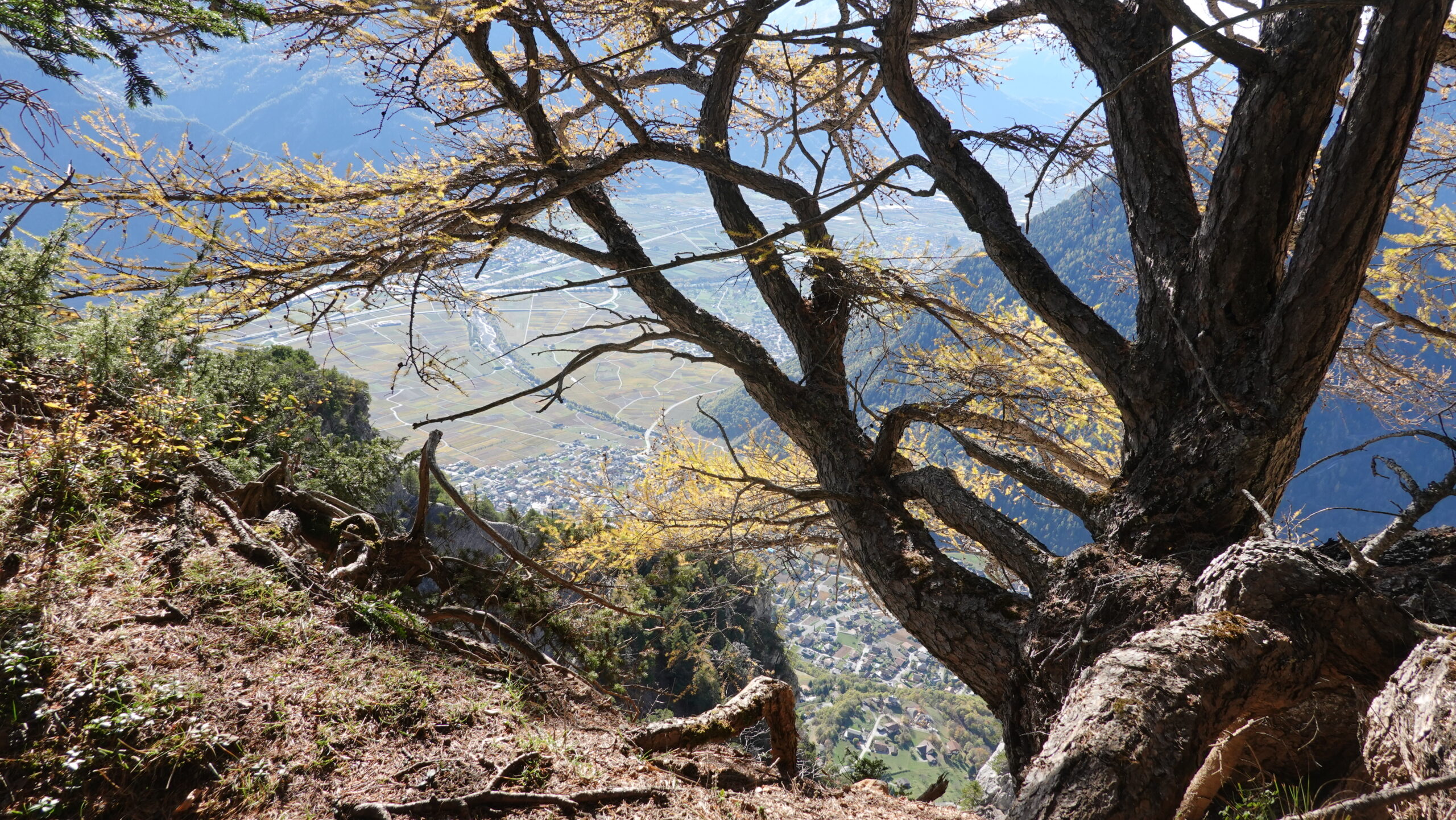
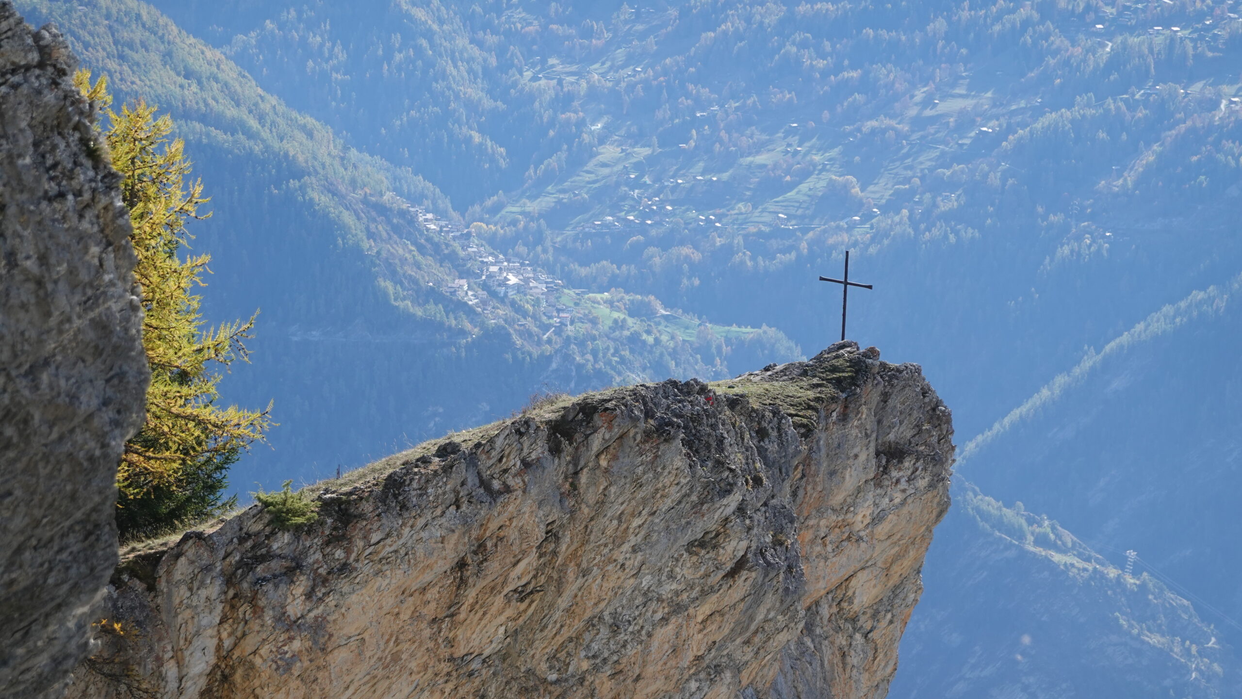
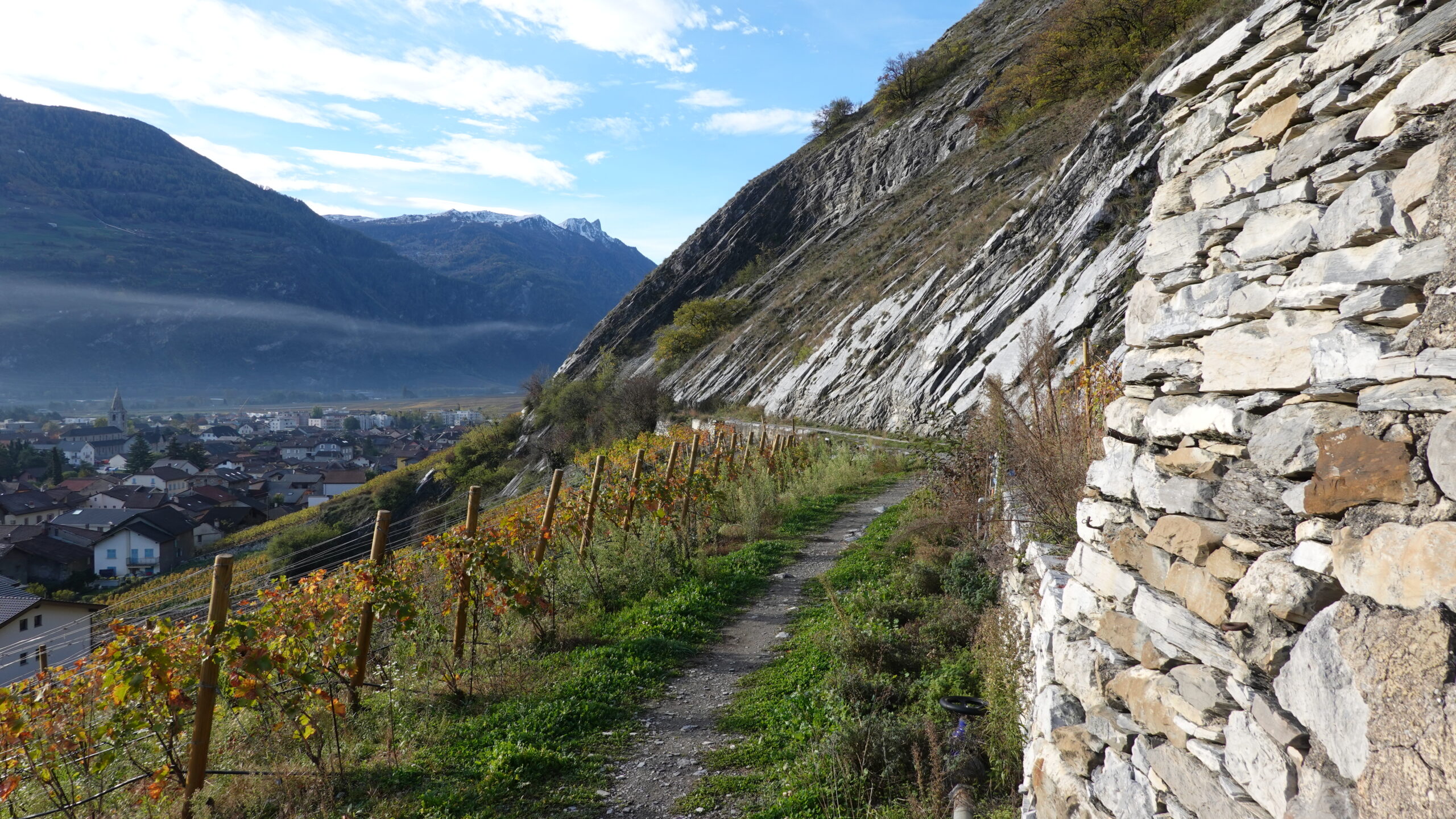
technical trail with an aerial part that allows you to reach the summit ridge, not recommended for people with a fear of heights. The route is a T3-T4 mountain path going from the plain to the summit of Ancillons in a majestic setting. Easy orientation and well-marked paths but sometimes dangerous if the humidity is too high. Route alternating deciduous and coniferous trees on a hillside overlooking the plain and its vines.

Total length
30 km-effort

Walking time
12.5 km

Elevation + et –
+/-1312 m
Altitude: between 483 and 1730 m

National hiking map 1:50’000
Ovronnaz 1305 and Sion 1306

Best period
June to October

Difficulty
T2 – T3
Useful information
Poles are useful on the way up and down. Orientation is not a problem but you have to pay attention to the path that disappears under the autumn leaves. The route is well marked by yellow signs but an altimeter and a map are always useful on this type of route.
Itinerary
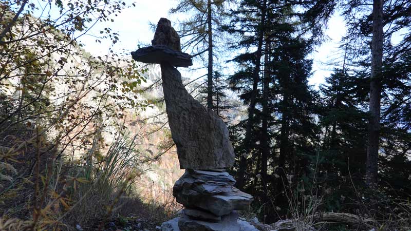
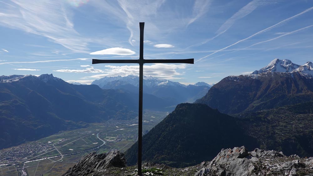
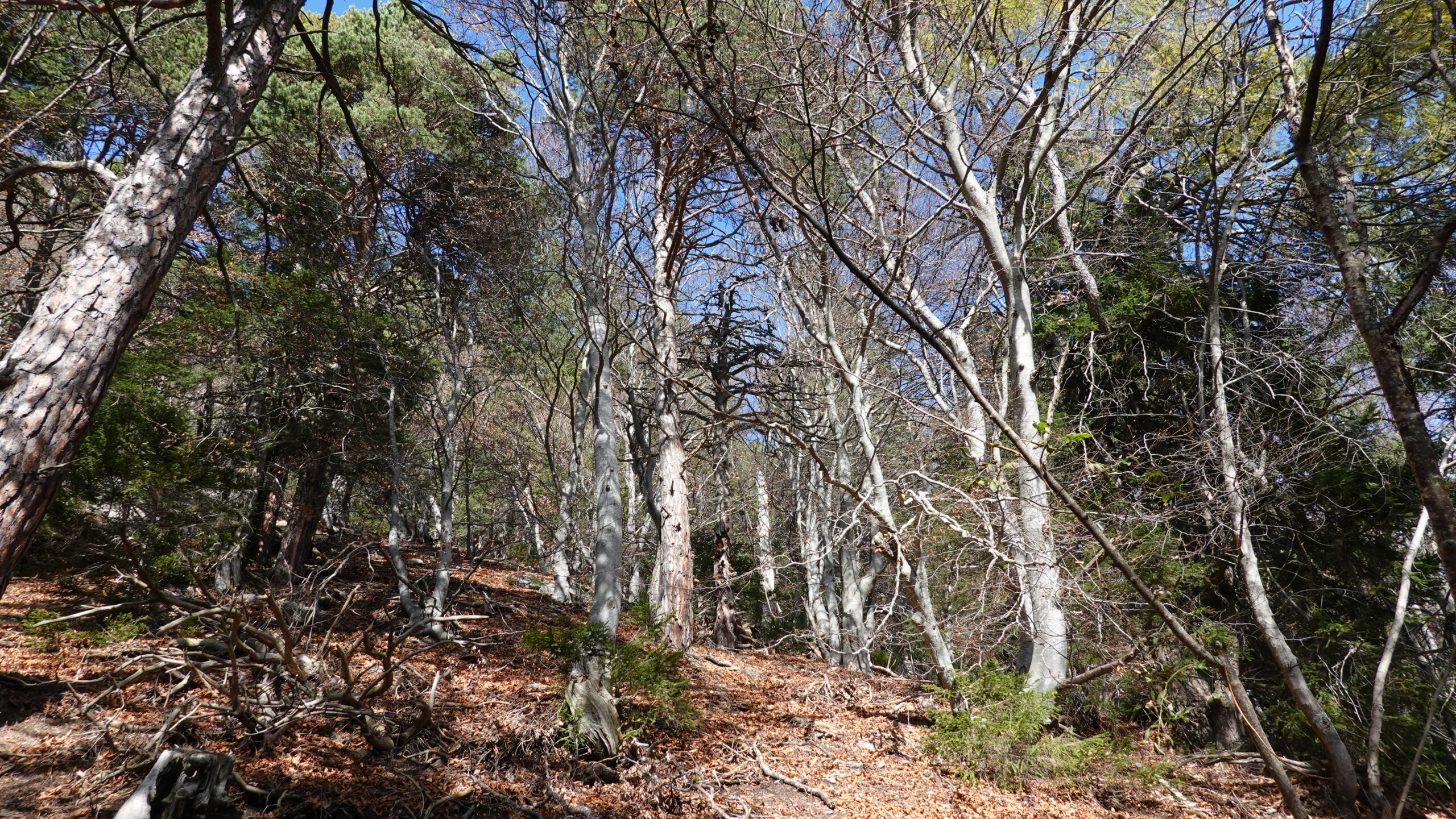
The start is from the Lizerne power plant in Ardon (2,585,989 / 1,118,326 / 598 m). The climb directly follows the small path that climbs in a hairpin bend and continues in a westerly direction on the path of the bisse promenade, through the vineyards overlooking the old village of Ardon. When you reach the tarmac road, reach the village below and follow the yellow signs that take you through the vineyard, under the cliffs of Six de Gru. For the rest, signs on yellow signs and on blue signs marked with an “S” invite the walker to wind through the vineyards to reach the village of Némiaz above Chamoson. At point 950, continue along the flat road to the pond for 70 m until you see the sign for Routia, les Ancillons on a T3 path (white-red-white). Warning: this path is exposed and not recommended for people with vertigo. The climb can be dangerous if the ground is muddy or in the event of heavy rain: torrential lava has made its beds there. The climb is steep and marked by key passages equipped with handrails. The atmosphere remains appropriate: impressive. The path rises quickly and overlooks Chamoson drowned in the vines to reach the crest of Peuflaire, under the Ancillons. At point 1305 turn left into a forest of majestic beeches to reach the Ancillons marked by a cross overlooking the valley. The return follows the crest towards the North and at point 1716, attack the descent with its roots and dead leaves. The path is rough and does not allow for a fast run. The yellow signs then regularly indicate the direction of the village of Ardon and the descent does not represent many difficulties. The scenery remains wild and if you are lucky, you may see chamois or even rarer the lynx. Keep your eyes open.