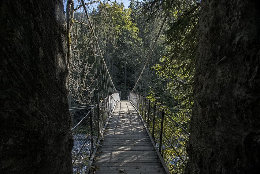
Pont Turrian

Location
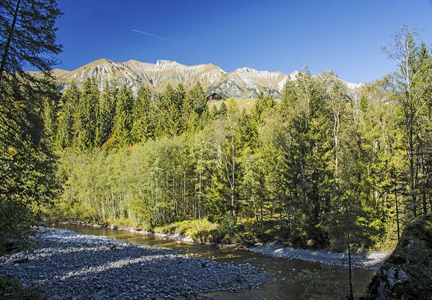
Châteaux d’Oex, Vaud Alps

Descriptif
pretty loop hike around the Sarine

Total length
about 5 km

Walking time
2 hours

Elevation + et –
+/- 140 meters

National hiking map 1:50’000
262 Rochers de Naye

Best period
May to October

Difficulty
–
Length and height of the bridge: 45 and 10 meters
Useful information
Very easy route that can also be traveled with a stroller.
Oldest footbridge in French-speaking Switzerland
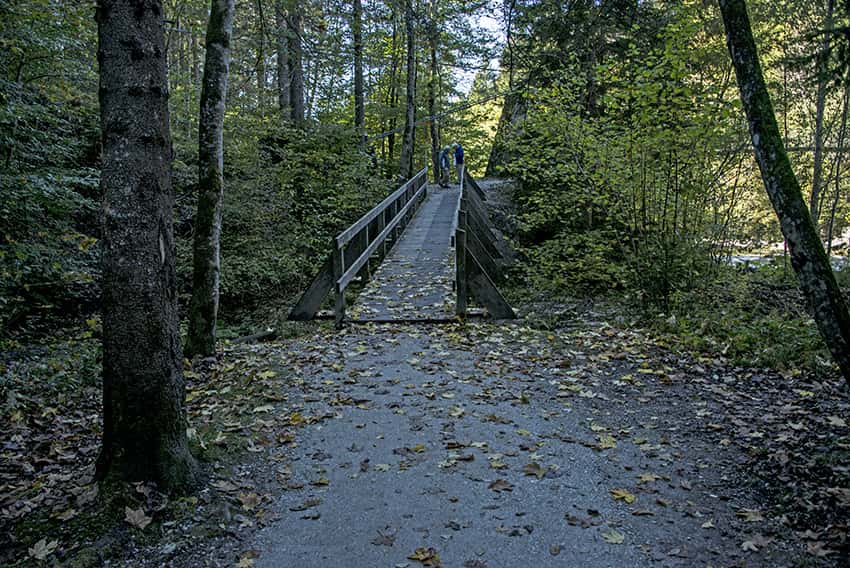
Itinerary
From Château d’Oex, join the Route des Monnaies and descend towards La Sarine. After crossing the Leyvra stream, the route crosses a few houses going up towards the south to join a path that descends towards the Sarine (indication Helsana trail). After crossing the Pont Turian, follow the river on the left bank for 1.3 km and turn right to follow an uphill forest road and join the Granges d’Oex road to be followed in a westerly direction to the point altitude 939 after the hamlet of Granges d’Oex. Reach the starting point by crossing the Turrian Bridge.