Randa / Suspension Bridge

Location
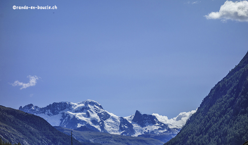
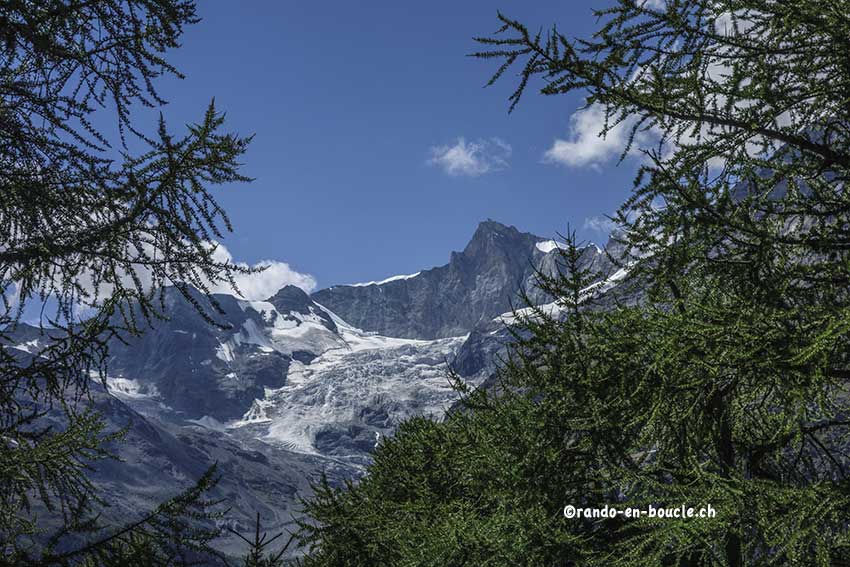
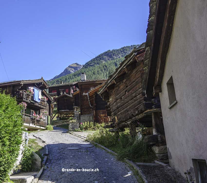
Randa above Visp in the Zermatt valley

Descriptif
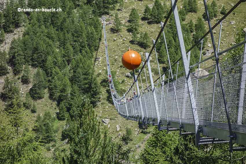
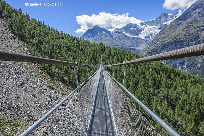
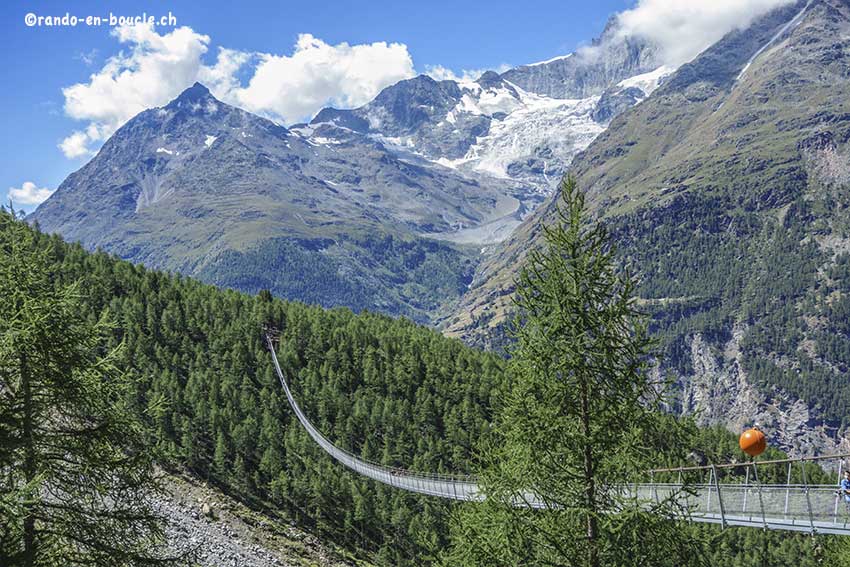
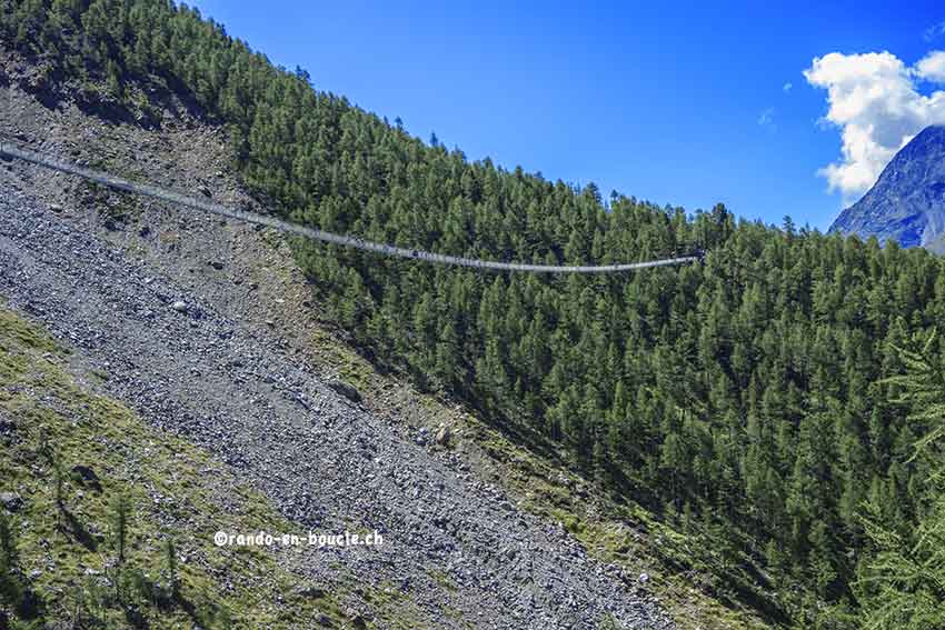
easy marked hike! But with a significant difference in altitude over a very short distance to reach one of the longest suspension bridges in Switzerland. (about 600 meters long)

Total length
about 6 km

Walking time
approx. 3 to 4 hours

Elevation + et –
+/-660 meters

National hiking map 1:50’000
Mischabel 284

Best period
May to October

Difficulty
T3
Useful information
In view of the fact that the bridge is famous and is the longest suspension bridge in Europe, this route is very popular. The slope to reach the suspension bridge is important. If you prefer to climb steep slopes and go down a less steep path, follow the route in the opposite direction of the normal route. That is to say that you go up by the right bank and go down by the left bank. Whatever the chosen route, the final altitude difference is the same. If you go up the right bank, the blue and white signs indicate the route after the bridge for the Domhütte.
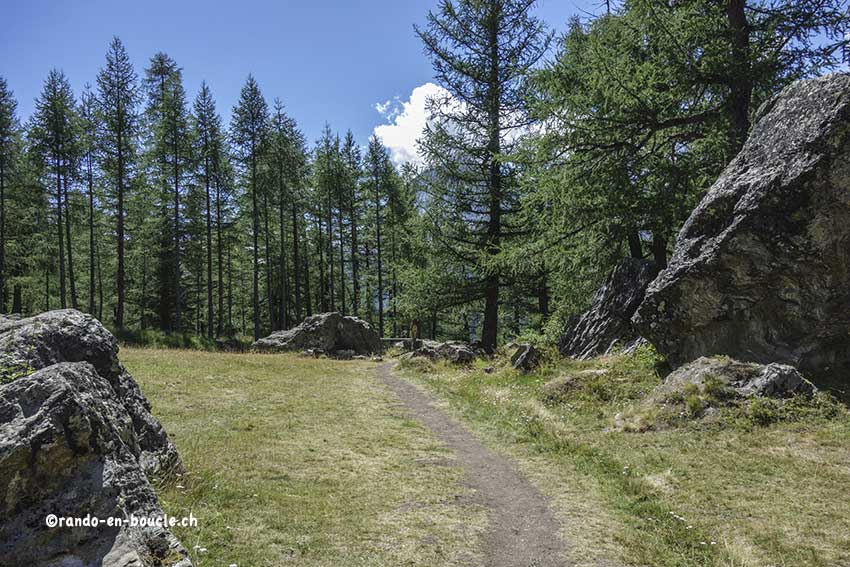
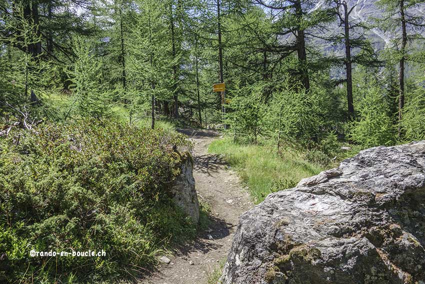
Itinerary
From the village of Randa follow the signs “EuropaHütte – Hangebrücke”. The normal route follows the left bank of the Dorfbächji valley. For the descent follow Randa Dorf.