St Maurice Collonges

Location
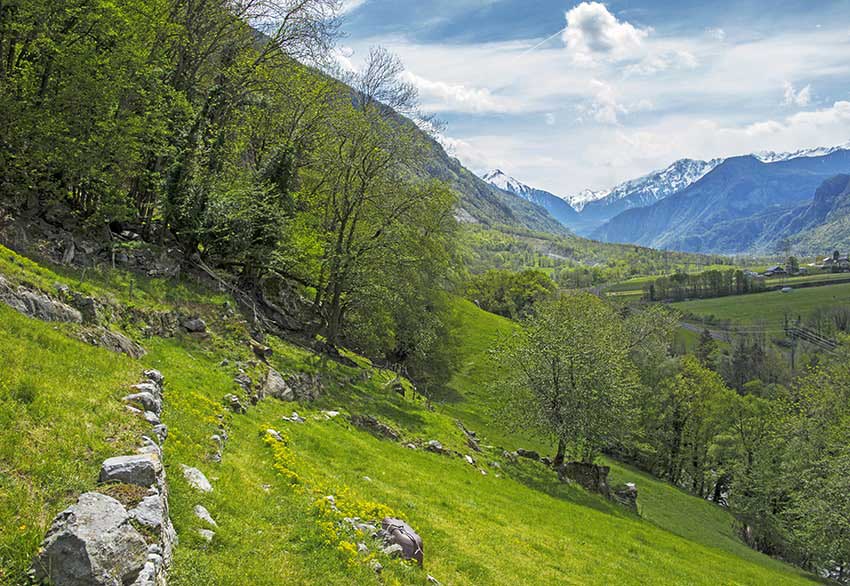
This route runs along the right and left banks of the Rhône between St Maurice and Collonges.

Descriptif
not easy hiking not recommended for people prone to vertigo and young children.

Total length
about 14 km

Walking time
about 4 hours

Elevation + et –
–

National hiking map 1:50’000
272 St Maurice

Best period
April to November

Difficulty
T3-
Useful information
This route follows the signs indicating « itinéraires berges du Rhône ». From Eslex to the Lavey electric factory on the right bank and from the factory to Lavey-les-Bains on the left bank, the landscape is beautiful and very natural.
Itinerary
From the car park on the banks of the Rhone at St Maurice, the route crosses the bridge that joins Lavey and runs along the right bank of the river to the Bains de Lavey. When you reach the complex of baths you have to go around to the left following the road that goes to Morcles. Follow this road for 1500 meters. When you reach the 3rd hairpin, take straight towards the hamlet of Eslex by a very steep road and follow the signs “pedestrian paths” to the bridge of Collonges. After crossing the bridge head towards St Maurice along the road along the Rhone to the electric factory Lavey. From the factory, follow the forest path along the Rhone to Lavey-les-Bains and then continue to St Maurice to join the starting point.