Bridge Chenarlier – Troitorrents

Location
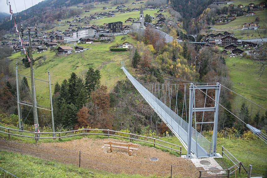
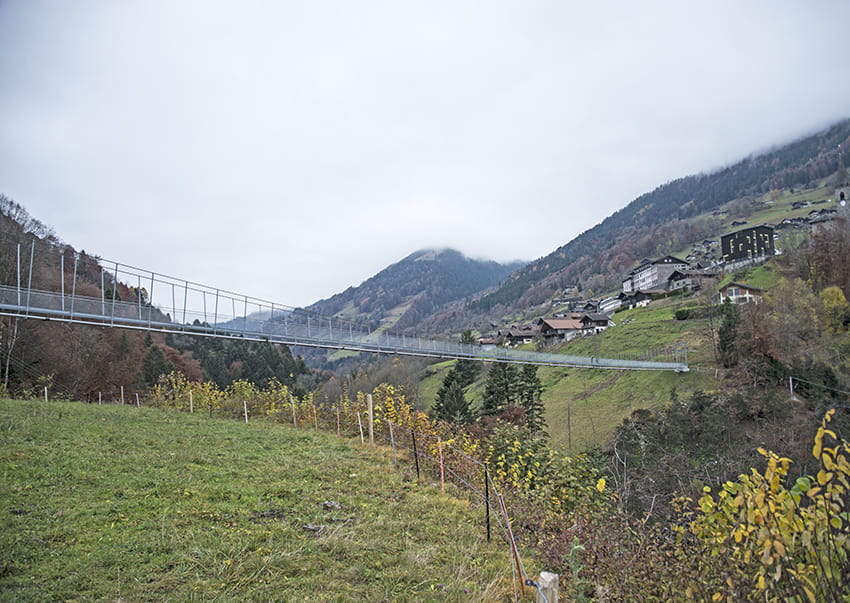
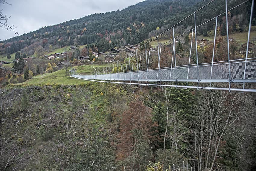
Troistorrents above Monthey

Descriptif
–

Total length
about 2,5 km

Walking time
about 1 hours

Elevation + et –
+/-230 meters
Altitude: about 700 meters
Bridge length and height: 185 meters / 75 meters

National hiking map 1:50’000
272 St Maurice

Best period
practically all year round

Difficulty
T2
Useful information
This footbridge is reachable by car. It connects Troistorrents and the hamlet opposite and saves residents a long detour on foot or by vehicle.
Itinerary
From the main Troistorrents road, before the bridge that crosses the Vièze de Morgins, take a downhill path towards Vers le Pont to reach the river (La Vièze). The route crosses the river by a stone bridge and goes up towards the Chenarlier road. Once on the road go up towards the bottom of the valley for 300 meters until the junction of Chemin de la Combe. Follow this path towards the river to reach the Chenarlier footbridge. After crossing the footbridge, reach Troistorrents and the starting point.