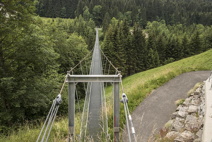
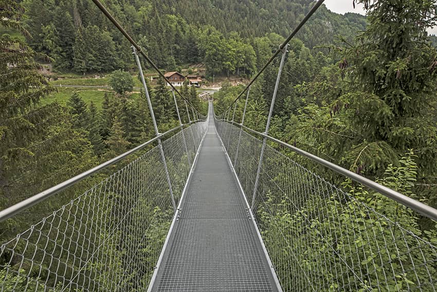
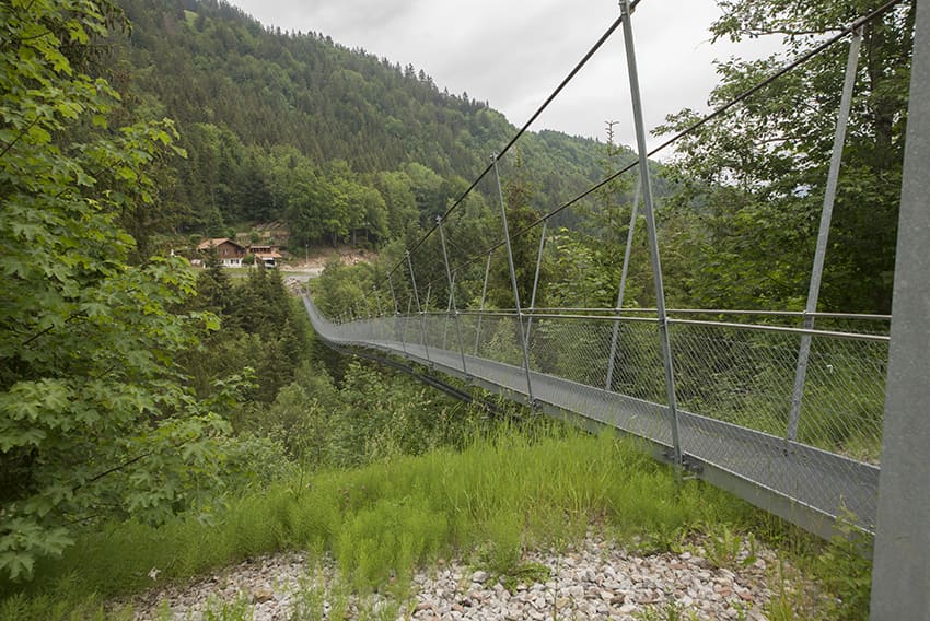
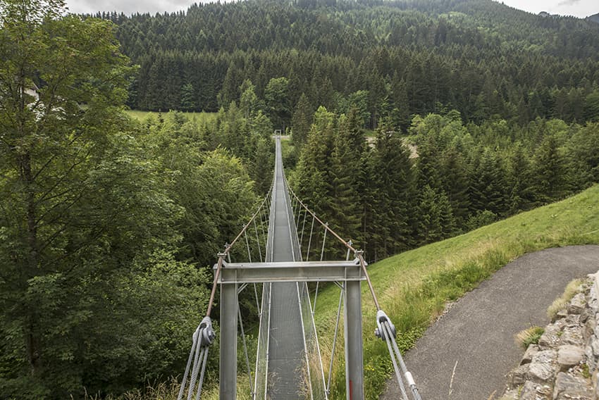
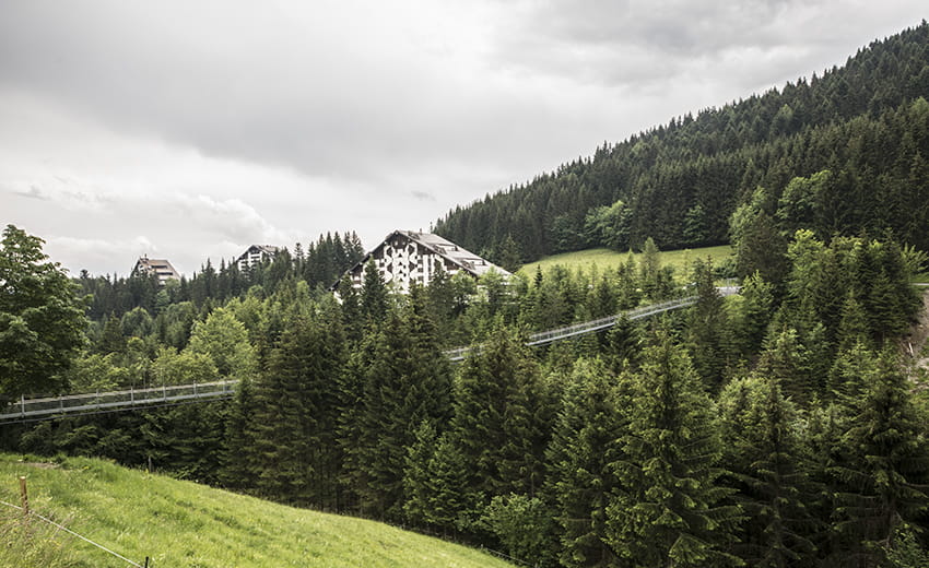
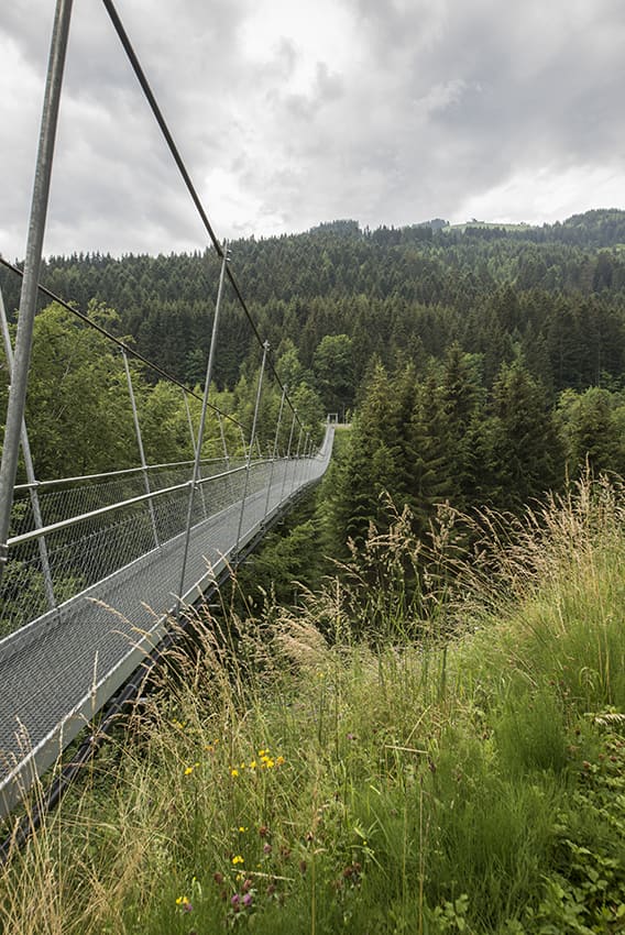
Suspension bridge La Jorette

Location
Under – Valais, Torgon above Vionnaz

Descriptif
–

Total length
according to the planned route about 3 km

Walking time
according to the planned route approx. 1 hour

Elevation + et –
+/-118 meters
Altitude: between 1121 and 1187 meters

National hiking map 1:50’000
272 St Maurice

Best period
from april to october

Difficulty
T2
Bridge length and height: 150 meters / 28 meters
Useful information
Itinerary
This footbridge is accessible by car. Possibility of a loop ride following the paths of La Cheurgne and Preuthay.