Tour de l’Argentine

Ort
Solalex über Villars

Beschreibung
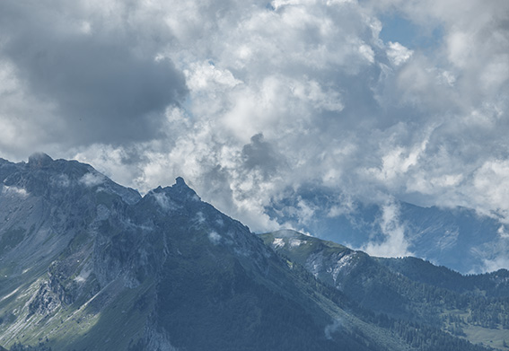
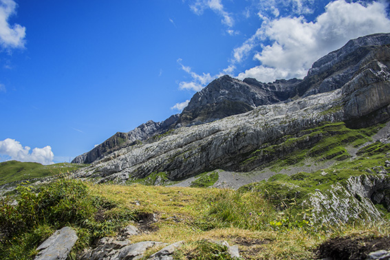
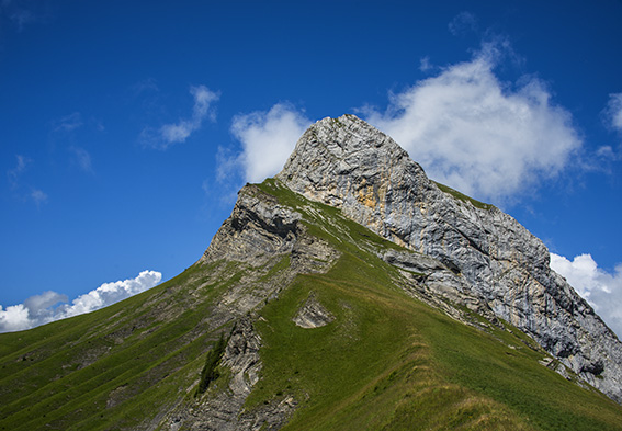
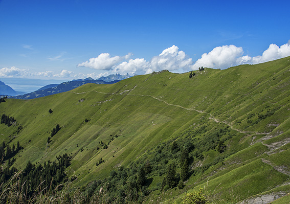
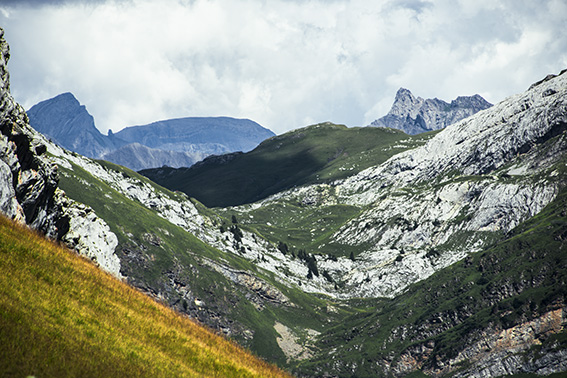
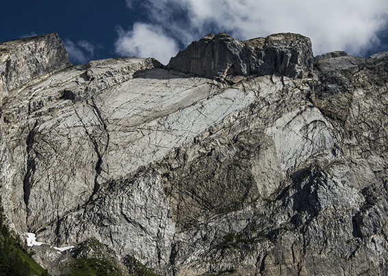
schwierige Wanderung, um die argentinische Kette und ihren bei Bergsteigern beliebten Miroir zu entdecken. Typische Route der Waadtländer Alpen.

Gesamtlänge
ca. 13 km

Wanderzeit
5 bis 6 Stunden

Höhenunterschied + et –
+/- 1000 Meter

National Wanderkarte 1:50’000
272 St. Maurice

Beste Periode
Mai bis Oktober (abhängig von der Schneedecke)

Schwierigkeitsgrad
T3 +
Praktische Informationen
Diese Route kann in beide Richtungen durchgeführt werden. Nach einer Regenperiode wird empfohlen, in Richtung Châtelet Roc, La Motte, La Vare zu fahren (entgegengesetzte Richtung der beschriebenen Route). Einige Passagen erfordern einen sicheren Fuß. Spazierstöcke werden empfohlen. Von Mitte Mai bis Ende September gibt es auf der Cheval Blanc Alp / La Vare Herdenschutzhunde (Verhalten bei Begegnung mit Herdenschutzhunden)
Strecke
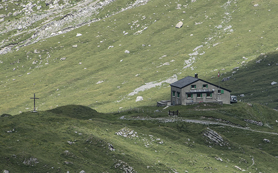
Von Solalex fahren Sie in Richtung Giacomini-Schutzhütte und Col des Essets. Sobald Sie den Pass Essets erreicht haben, fahren Sie in Richtung La Vare bis zur Abzweigung nach Solalex, Bovonne, La Motte. Folgen Sie dann immer dem Roc du Châtelet, Solalex, bis zum Ausgangspunkt.