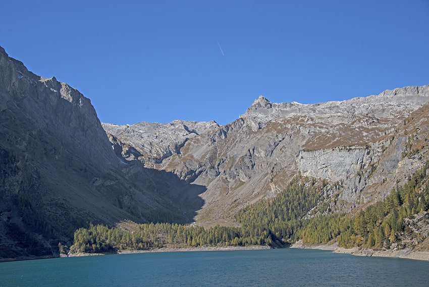
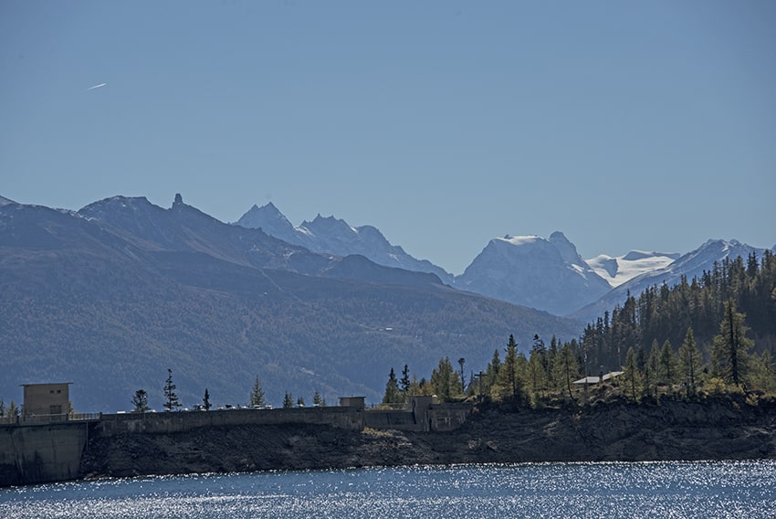
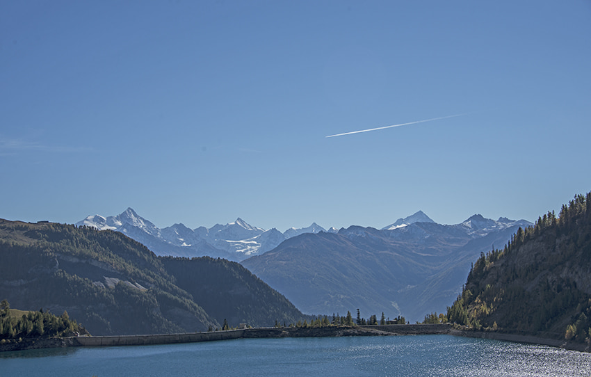
Tseuzier / Lac du Rawil

Location
Tseuzier in the town of Ayent on the right bank of the Rhône from Sion

Descriptif
very easy hike. Ideal for accustoming young children to walk in the mountains. They can get used to the altitude, walk on paths that have all the characteristics of a mountain path with some passages over a slight void.

Total length
about 5 km

Walking time
1 to 2 hours

Elevation + et –
approx. +/-135 meters
Altitude : 1800 meters

National hiking map 1:50’000
273 Montana

Best period
from april to october

Difficulty
T2 – T3
Useful information
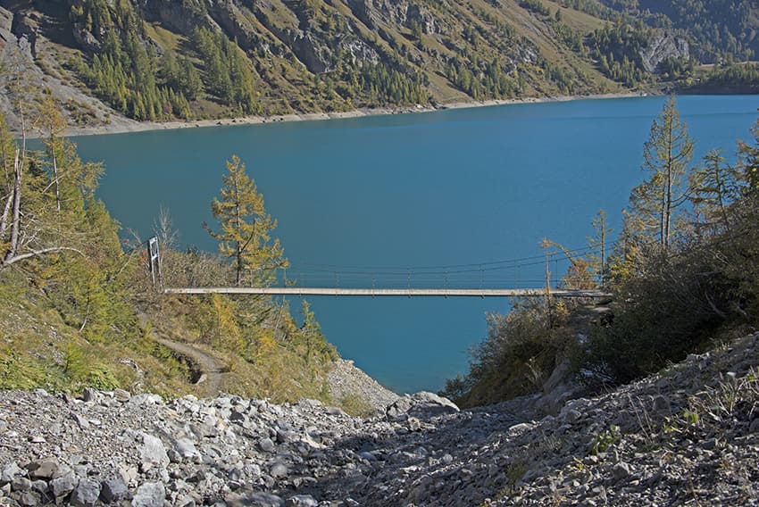
Itinerary
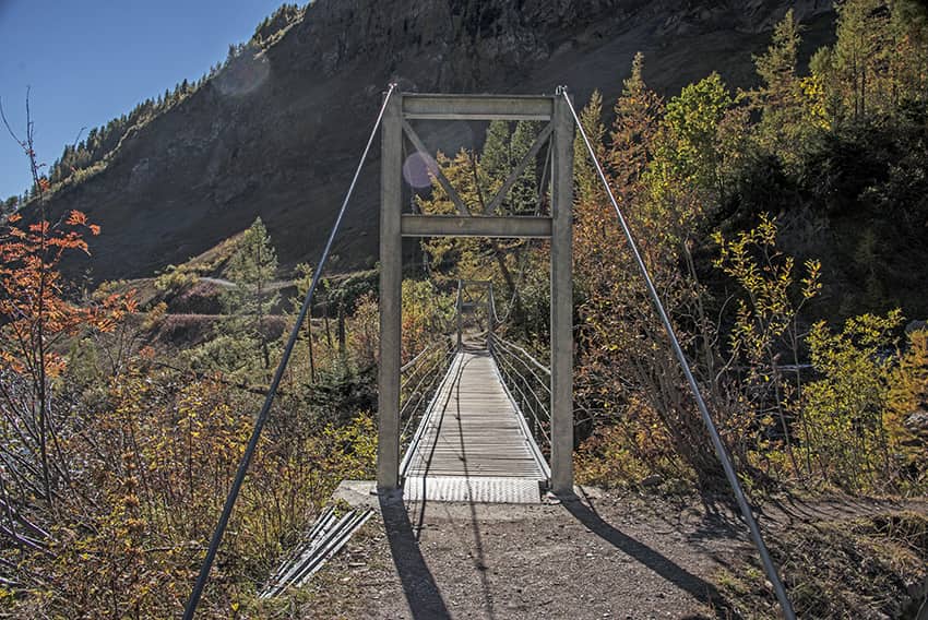
Start the walk on the left bank of the dam by crossing the wall of the dam and then following the path that runs along the dam. Arriving at the bottom of the dam, before descending, do not miss to discover the impressive mountain torrent which gushes out in the middle of the rock wall. Once you are at the foot of the dam, you have many places to organise a picnic or a barbecue. For the return, follow the “tour du lac” route which joins the footbridge and runs along the Bisse de Sion.