Tsina di Vio / Grand Mountet/

Location
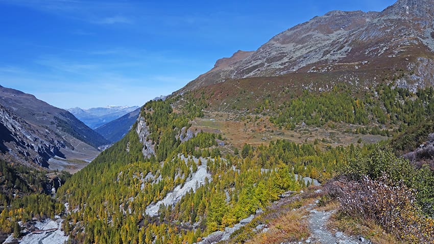
Val d’Anniviers from Zinal

Descriptif
–

Total length
about 11 km

Walking time
–

Elevation + et –
Altitude: between 1,700 and 2,900 meters

National hiking map 1:50’000
no. 283 Arolla

Best period
from June to September

Difficulty
–
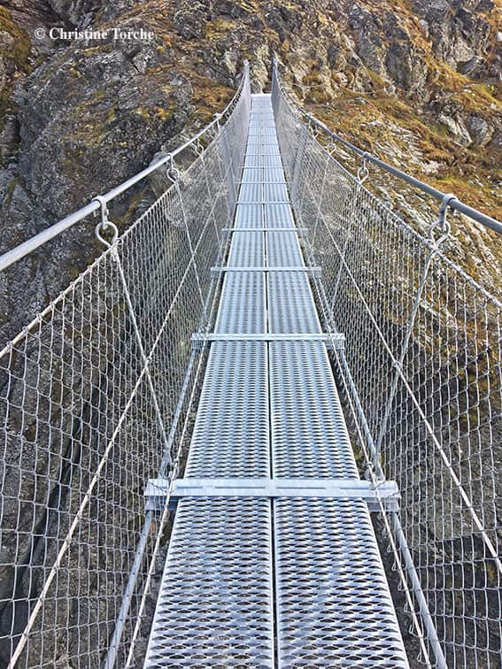
Length and height of the footbridge: 45 m. and 120 meters
Useful information
Rather difficult route. Possibility to eat at the Grand Mountet hut. Alpine environment.
Itinerary
From the village of Zinal, follow the direction of the Grand Mountet hut. The route begins by following an alluvial plain before a first fairly easy climb.
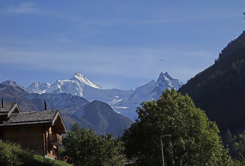
Thereafter and before reaching the footbridge of Tsina de Vio, the climb is difficult. After crossing the footbridge, continue to the Grand Mountet hut to admire the magnificent panorama of the Dent Blanche, the Obergabelhorn and the Zinalrothorn.