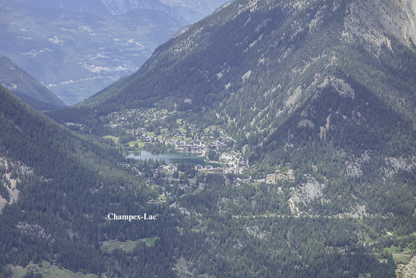
Vichères Tsamonay

Location
Val de Bagnes, on the Grand St Bernard axis, opposite Liddes

Descriptif
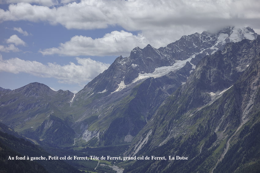
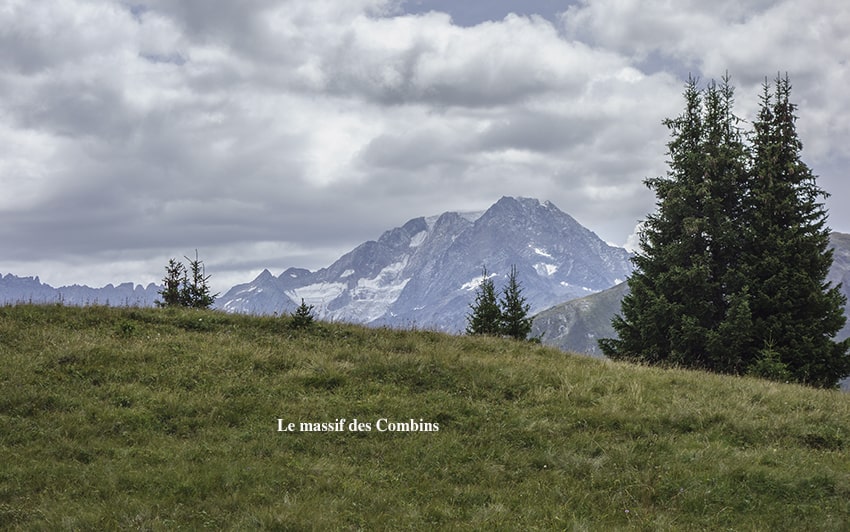
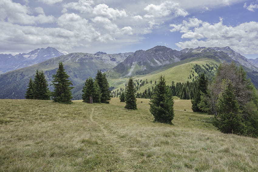
easy hike with a sumptuous 360° panorama as soon as you reach the 2000 meter altitude mark.

Total length
about 9 km

Walking time
about 3 hours

Elevation + et –
+/- 532 meters
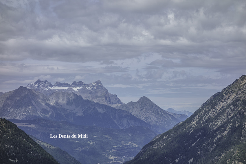
Altitude: between 1605 and 2110 meters

National hiking map 1:50’000
282 Martigny

Best period
from late April to November (depending on the snow cover)

Difficulty
T2
Useful information
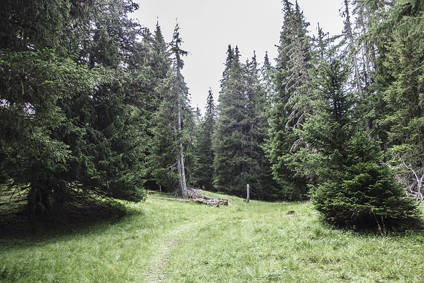
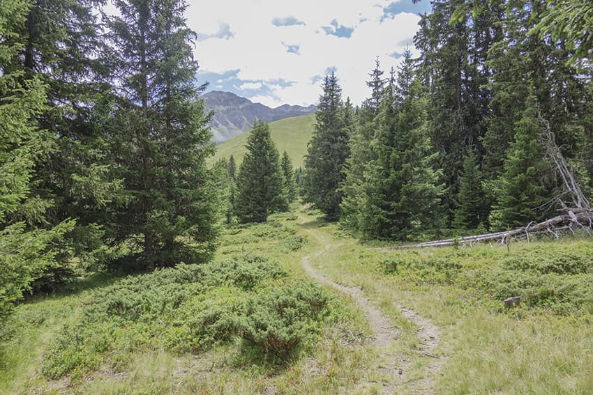
Fairly uncrowded easy hike. Stay on guard while crossing the area that has been affected by the storm, some trees may be weakened. The Plan Monnay region is ideal for organizing a picnic and taking a break.
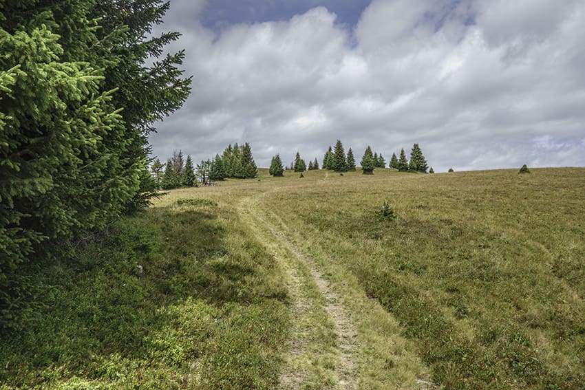
Itinerary
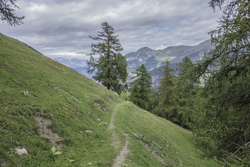
The route begins at the car park of the Vichères ski lift facilities. At the bottom of the car park, follow the forest road (north, towards the Rhône plain) which rises gently for just over 1 km. At altitude point 1705, leave the main forest road to continue straight ahead for 600 meters and take a fairly wide steep path uphill from the road. Follow this path, which crosses a forest completely destroyed by a storm. At Plan Bleu, at altitude point 1828, follow Plan Monnay, Bavon. Once you have arrived at Plan Monnay, go down towards Bavon on a very easy path. At the start of the first drag lift, follow the flat road heading south (this road passes under the Chapelet chairlift) to the start of the second drag lift (La Chaux). From this ski lift, follow a downhill path (northbound) which at the start is somewhat destroyed by cattle but which becomes very pleasant after a few hundred meters of descent. Always follow this path (in the direction of Le Chapelet, Vichères) which goes back under the chairlift of Le Chapelet and reaches the starting point of the hike.