Wyssbodehorn

Location
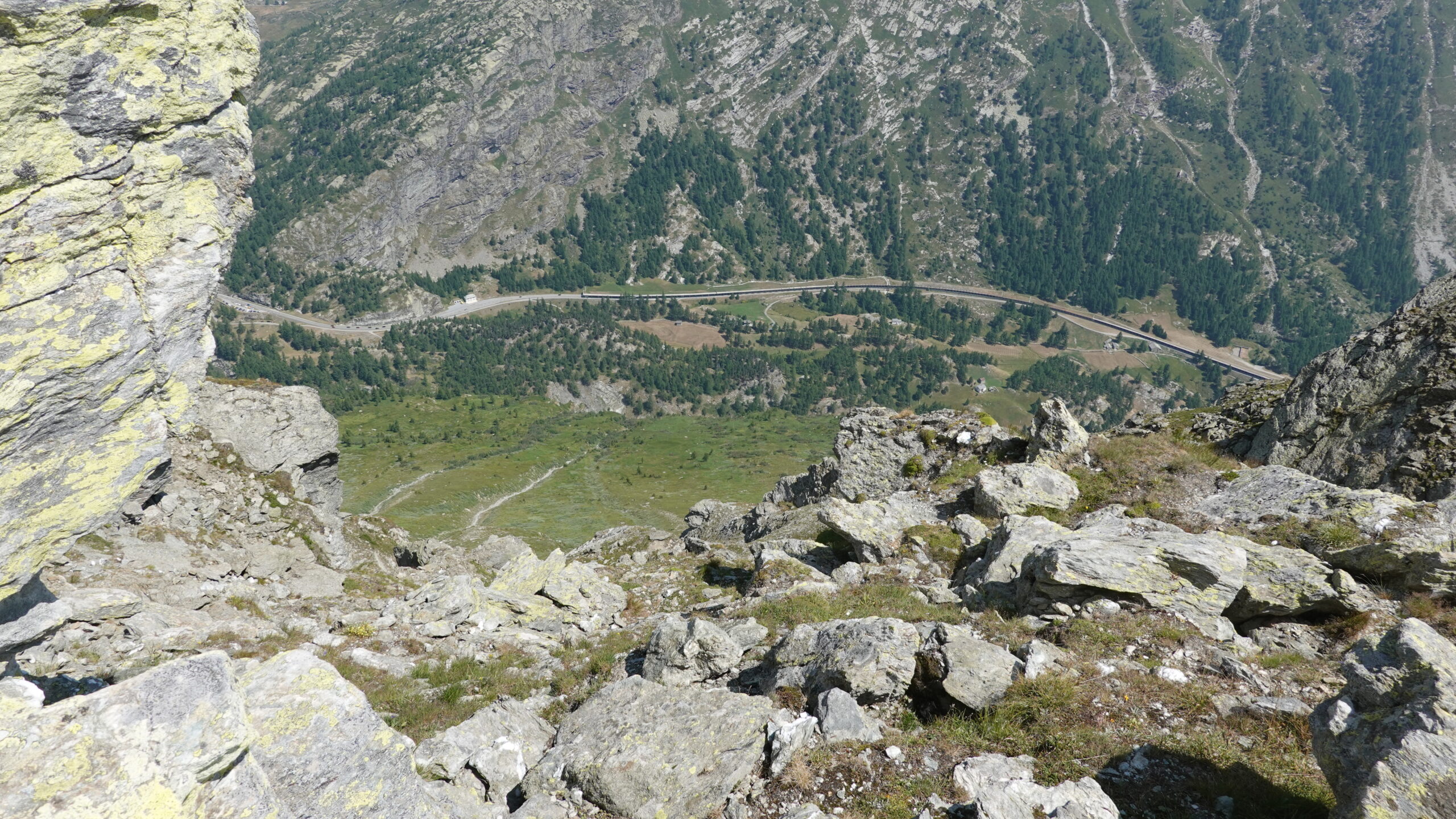
left bank of the Rhone, before Simplon Dorf coming from Brig.

Descriptif
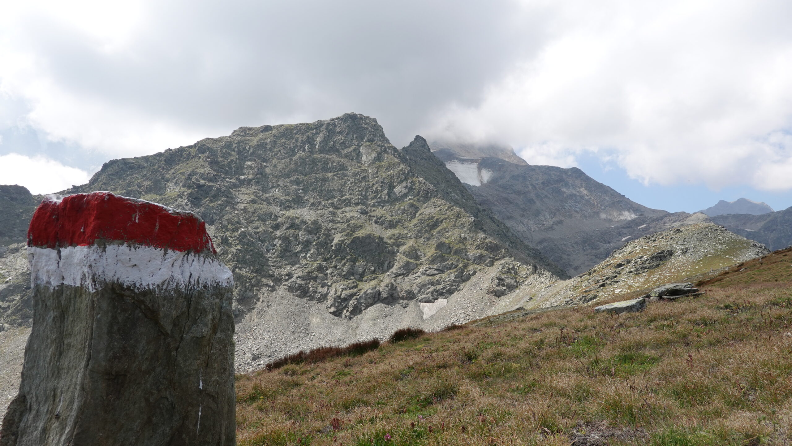
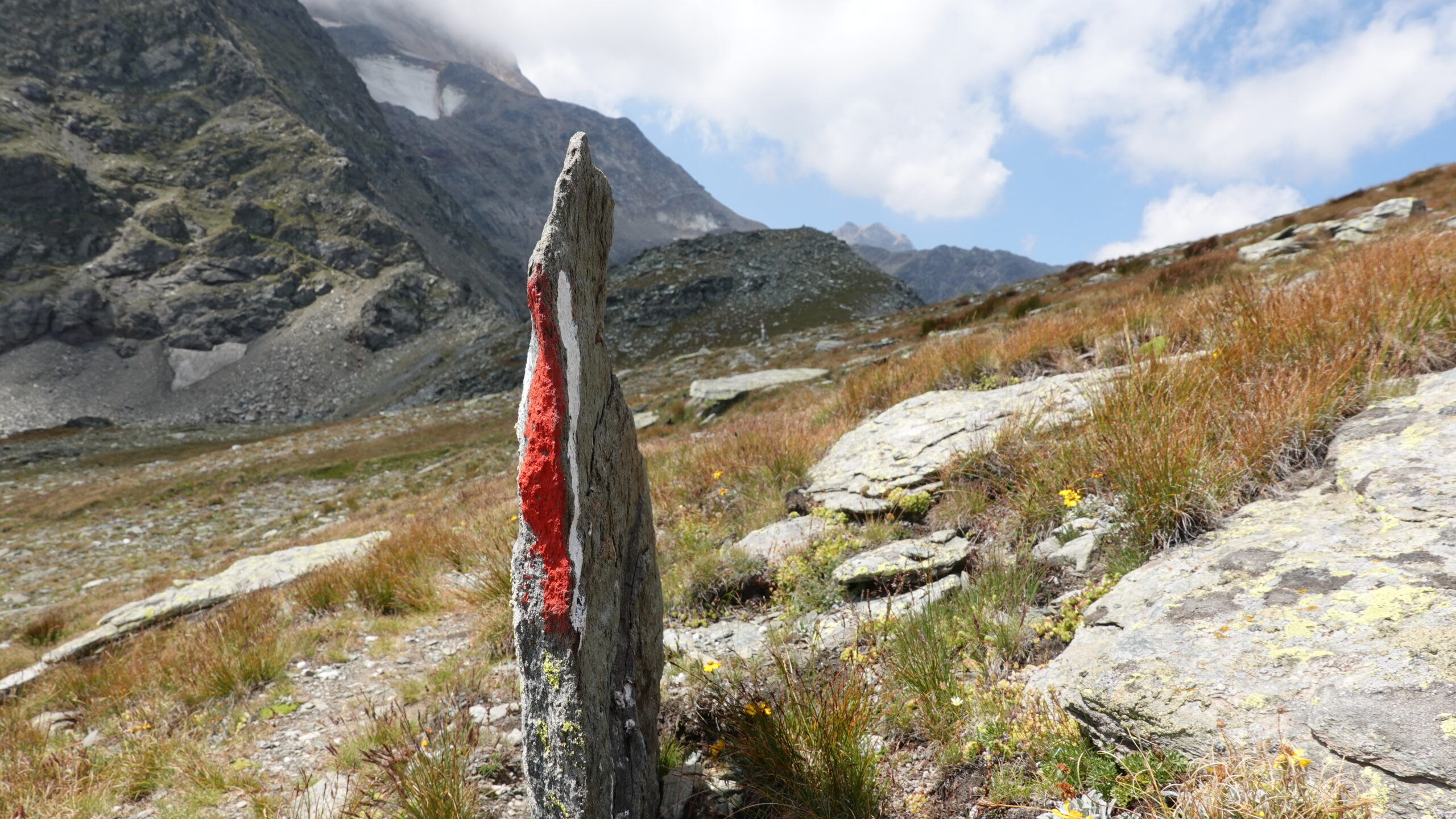
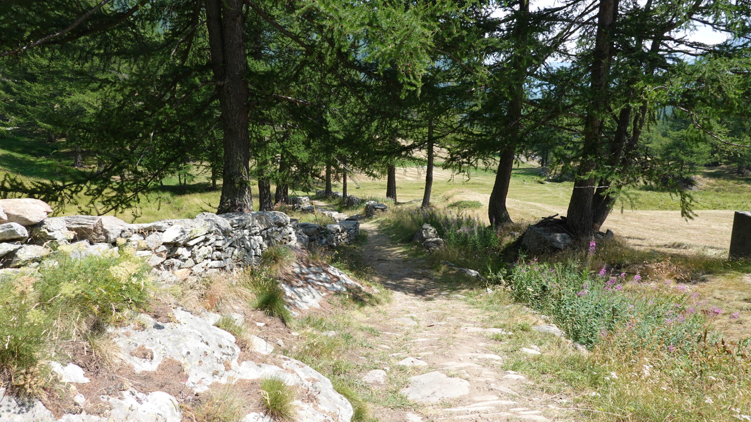
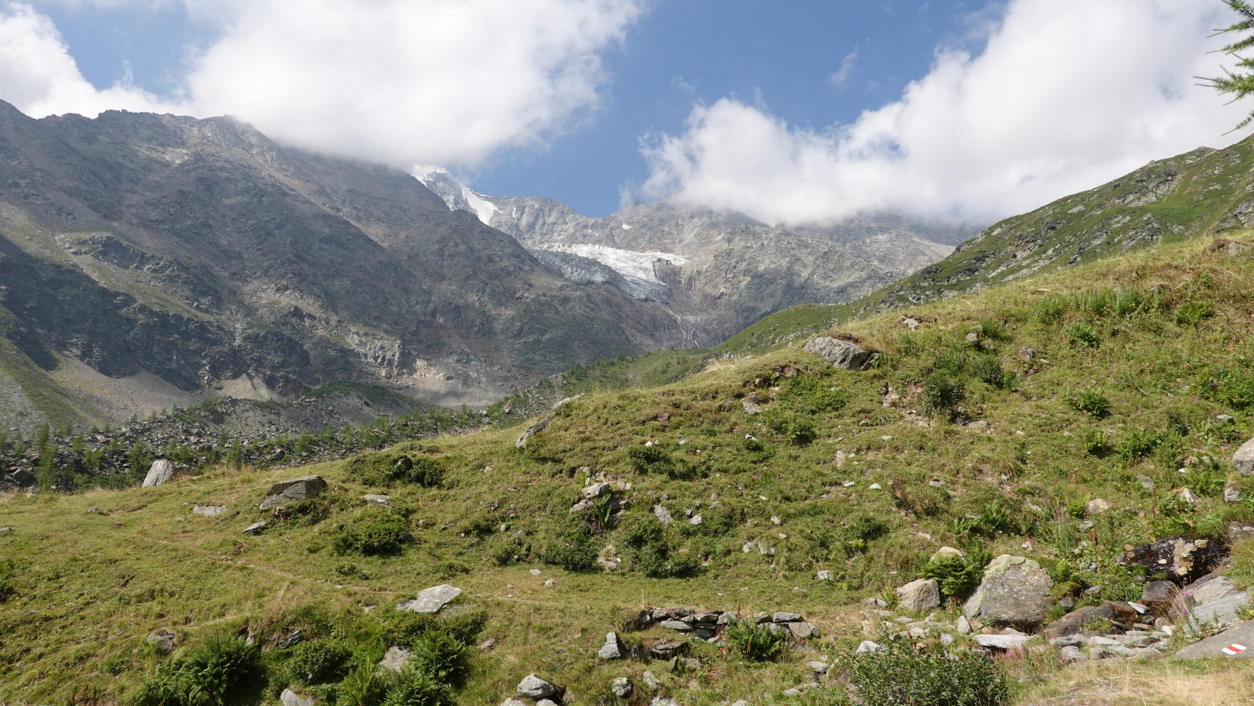
Wild trail, in an environment where only the scents of the alpine pastures intoxicate our nostrils.

Total length
28 km-effort

Walking time
13 km

Elevation + et –
+/-1132 m
Altitude: between 1590 and 2616 m

National hiking map 1:50’000
Simplon 1309

Best period
July to September

Difficulty
T3
Useful information
You can park your vehicle before the Engiloch gallery and for example in Chluismatte or near Nideralp. Public transport also serves the area well. Don’t forget your altimeter.
Itinerary
Other departures than Chluismatte (2’644’464/1’119’498/1811 m) are possible but do not go beyond Egga. Follow the route of the E62 national road downhill on the picturesque route of the Napoleonic road which passes Enggiloch with a period residence. Join Egga and visit the chapel, a model of simplicity and piety, before tackling the climb to the Rossbodustaful mountain pasture at 1933 m. The climb is on paths that are sometimes barely marked. Stay aware of your altitude and turn north from the altitude of 2121 m towards Furgghalte. Naturally follow the ridge which leads to the summit overlooking Wysse Bode, a gigantic scree slope before gaining the last meters towards the summit by following the cairns. The surrounding peaks are impressive! The descent is via a steep, stony path following the markings on the ground. At point 2317, head east 180° from the general direction of the ridge. The rest of the descent remains well marked and easily reaches Chluismatte, the starting point.