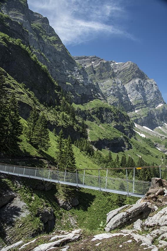
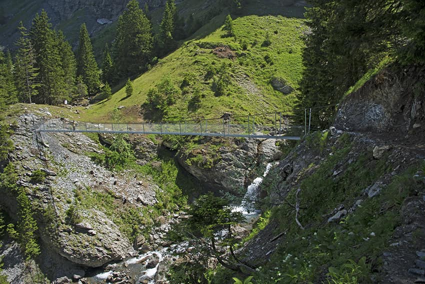
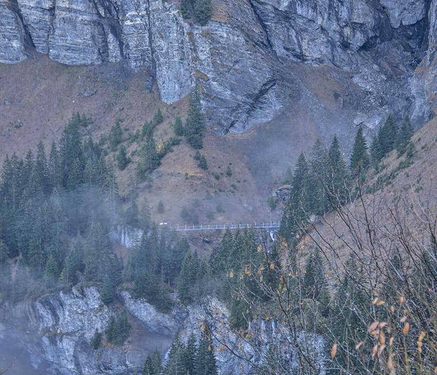
Suspension bridge Belle Etoile

Location
on the left bank of the Rhône Val d’Illiez – Champéry

Descriptif
not very easy hike under the Dents du Midi

Total length
about 8 km

Walking time
about 3-4 hours

Elevation + et –
+/- 600 meters
Altitude: between 1056 and 1554 meters

National hiking map 1:50’000
272 St Maurice

Best period
from mai to october

Difficulty
T2
Bridge length and height: 55 meters / 25 meters
Useful information
Along the route there are many places that allow the organization of a picnic with a magnificent view of the Val d’Illiez and the Dents du Midi. There is a refreshment bar halfway through.
Itinerary
On leaving the village of Champéry, head towards “Grands Paradis” (signposts). The route begins near the Grand Paradis campsite. Follow up the river “La Saufla” and follow the indications “Grand Paradis” to the footbridge which is about 2 km before the Signal de Bonavau refreshment bar. The return is via the Bonavau forest to reach the starting point.