Stägeru and Lüegjeru

Location
Upper-Valais, on the right bank of the Rhône, between Niedergestelm^n and Gampel

Descriptif
–

Total length
about 6 km

Walking time
about 2 hours

Elevation + et –
+/- 300 meters
Altitude: between 800 and 1000 meters

National hiking map 1:50’000
274 Visp

Best period
from April to November

Difficulty
T2
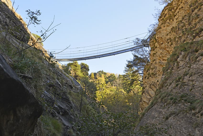
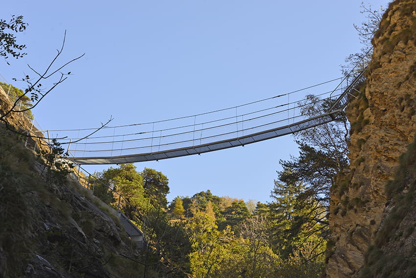
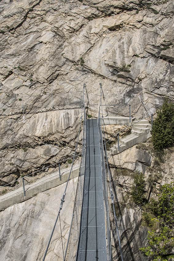
Bridge length and height: 30 meters / 80 meters
Useful information
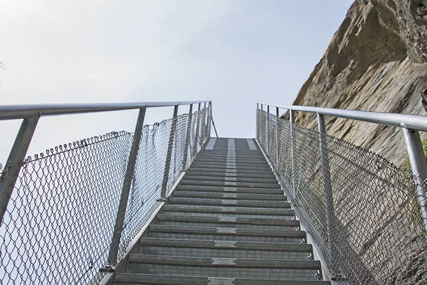
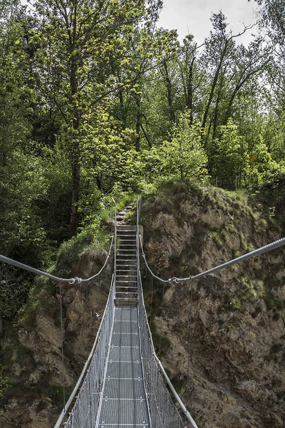
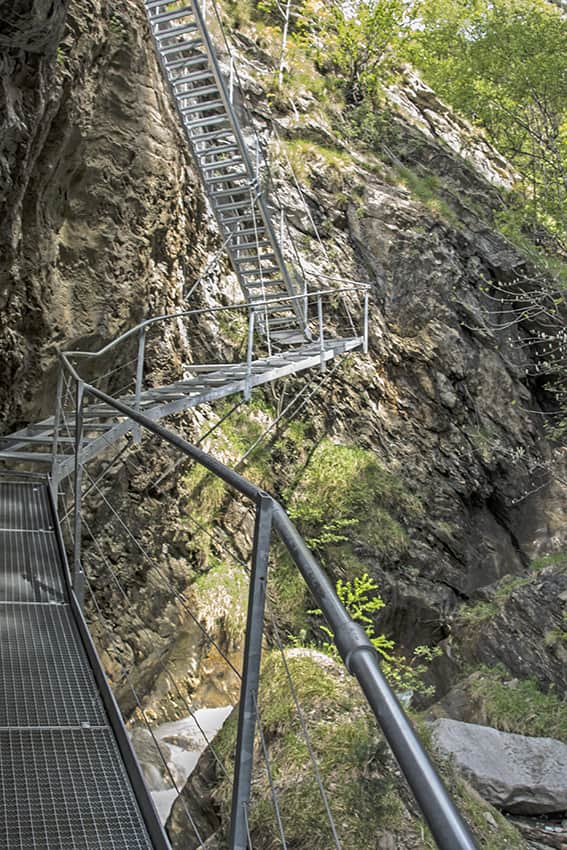
At the beginning of the return path, after the footbridge and the short climb, there is a magnificent place with a table and benches to organize your picnic. In summer it can be very hot. The last section to reach the footbridge is spectacular and overlooks the river via a ramp and a staircase suspended above the void.
Itinerary
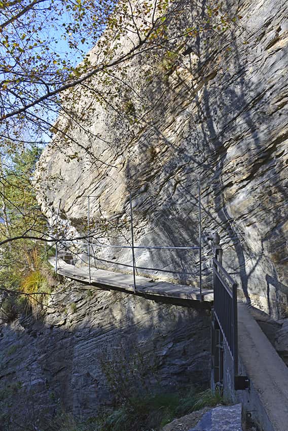
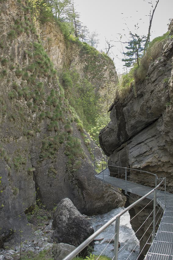
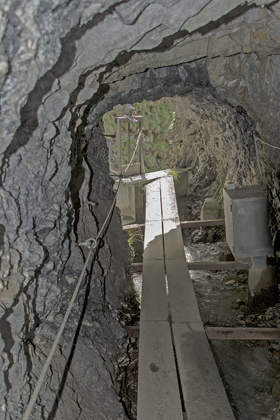
From the center of the village of Hohtenn (in front of the church), follow an uphill village road due north. At the top of this road you join another road which you follow to the right (East) until you come to a dead end. The route of the bisse begins here. After about 10 minutes of walking you cross a road that you follow for about 50 meters (east) to join the course of the bisse on the right downstream of the road. Follow the bisse to its water intake. Cross a tunnel (lit) for 20 meters to take the stairs and the suspension bridge. After crossing the suspension bridge, head north up the course of the bisse and follow the route to retrace your steps in the direction of Hohtenn by climbing up the rock face by a very steep path heading west. After this short climb, the path runs along the slope of the southern ramp of the Lotschberg and joins the bisse de Stägeru. When you reach the bisse, you come to a crossroads. Take the direction of the plain (Niedergesteln) to reach the Bisse de Lüegjeru. Follow the bisse (West) until you join an uphill road that joins another road that you follow downhill to your starting point (still heading West).