Pointe du Six Rodze

Location
Right bank of the Rhone, Val d’Entremont after Martigny and before the Grand St Bernard pass.

Descriptif
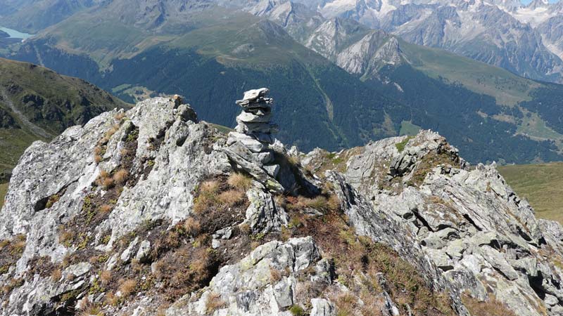
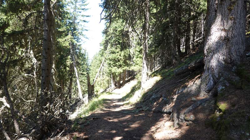
Trail with exceptional views of the surrounding peaks. Pleasant climb in the forest before crossing the slopes of the coveted summit. The rocky summit remains reachable by the ridge without great difficulty but it is a little technical: be careful of the path in the scree and the poles can be useful.

Total length
37 km-effort

Walking time
16.6 km

Elevation + et –
+/-1507 m
Altitude: between 1312 and 2762 m

National hiking map 1:25’000
Orsières 1345

Best period
July to September

Difficulty
T3
Useful information
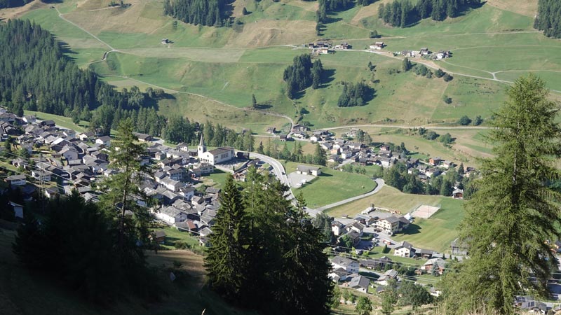
You can park your vehicle in front of the school building (coordinates: 2’580’166/1’093’647/1312m) at the entrance to the village of Liddes. Public transport also serves the area well. Don’t forget your altimeter in case of fog.
Itinerary
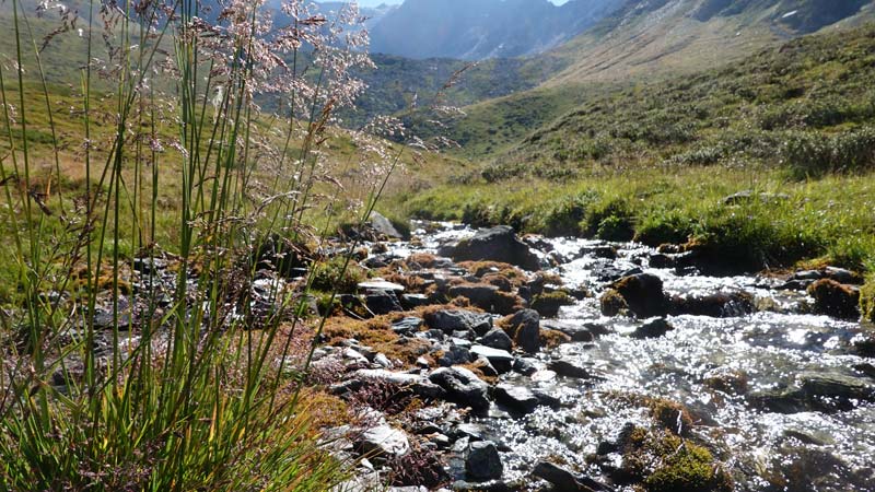
From the car park, go to point 1347 to the east of the church and follow the signs for the éperviers trail. This is the key sign for your climb to Clou (point 1732) then towards Erra d’en Bas first, then Erra d’en Haut with their ruins marking the past and the courage of our ancestors. Then reach the pass under Vouardette at point 2452. The view is splendid with the Mille hut to the north. Follow the ridge that leads to Pointe du Six Rodze and not the path that runs along the slope in a north-east direction: the rest is complicated. The path passes by old fortifications and army observation posts. Continue to the summit cairn, taking your last steps along a fairly sharp ridge (T3) for those who are not used to it. The descent is made by the same path to the Col de la Vouardette still at point 2452. Then enter the valley by the path that points southeast and reach the Coeur. Slip through the buildings to join below the path marked white-red-white that crosses the Morion Forest to the Crêdedin. The path to reach Liddes is then well indicated and continues inside the village as during the climb.