L’Ardève

Location
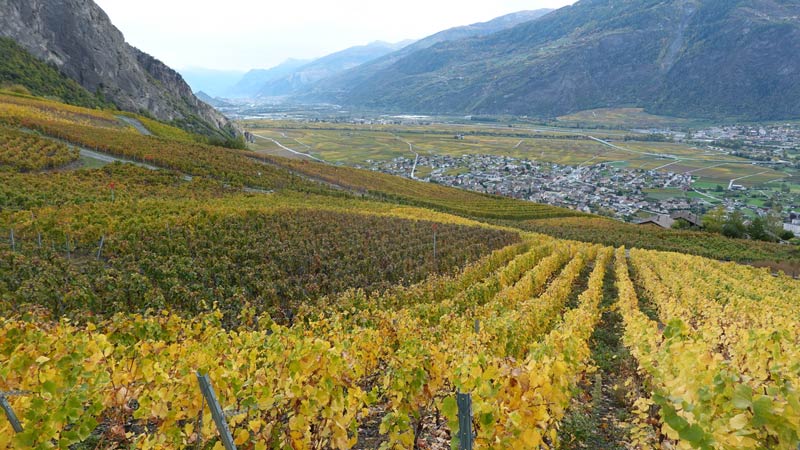
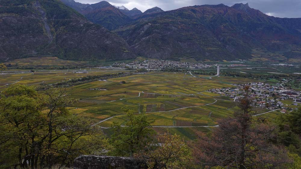
Right bank of the Rhone above Leytron.

Descriptif
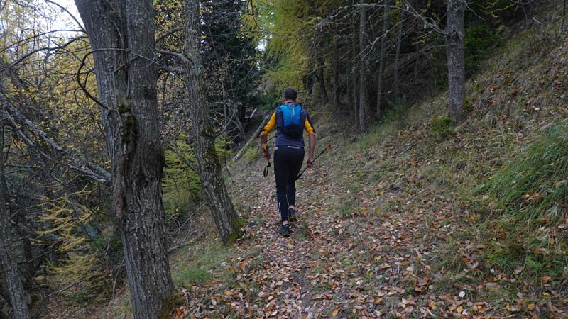
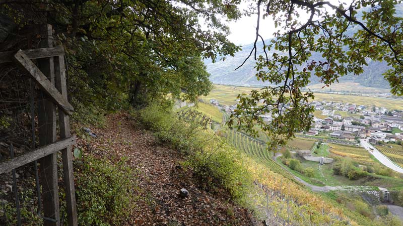
technically average trail with an aerial part on the summit ridge not recommended for people with a fear of heights. The summit can be avoided by going through the Mayens de Chamoson. The route is a T3 mountain path going from the plain to the summit of the Ardève in a very interesting geological setting. Easy orientation and well-marked paths but sometimes dangerous if the humidity is too high. Route alternating deciduous and coniferous trees on a path overlooking the plain and its vineyards. The summit remains a long and bushy ridge, populated with larches and junipers. Unique and a real colorful festival in autumn.

Total length
31 km-effort

Walking time
16.07 km

Elevation + et –
+/- 1133 m
Altitude: between 533 and 1487 m

National hiking map 1:25’000
Ovronnaz 1305

Best period
June to October

Difficulty
T2 – T3
Useful information
Poles are useful in the first part of the trail. Orientation is not a problem, the paths are well marked in yellow but a map is always a guarantee of safety on this type of route.
Itinerary
Use the edge of the road in the vineyards to the west of Chamoson (2’583’125 / 1’116’157 / 598 m) and follow the sign indicating the Ardève. The path quickly gains altitude up to Clèves, La Planche and the Mayens de l’Ardève. The markings on the ground are outdated and sometimes stuck to the trees. The climb leaves little rest until the dirt road at point 983. Continue to follow the Ardève signs on the same road which allows a faster running pace. The part below the summit ends with a path warning hikers that it is an aerial part and not suitable for people with a fear of heights. The view from the summit is impressive over the Rhone plain. The ridge leads further in a northwesterly direction towards the Pointe de la Lacha. The descent on the north face is strewn with roots; the path is steep and requires constant attention. A tricky passage over 15 to 20 meters requires the use of the handrail which makes it easier to pass on unstable ground. At the place called Les Dzardis, the route runs due south, below the Ovronnaz resort, along the Torrent de Valeresse and passes through the region’s pastures. The ground is wet and muddy with roots. The signs for Montagnon and then Produit are clear. From these villages, the path is asphalted and winds through villas and vineyards. At an altitude of 605 m, below the village of Produit, turn northeast to the cantonal road at an altitude of 574 m and follow the road for 100 m before joining the path that overlooks Leytron in its vineyards to La Barme. The rest is signposted to your starting point.