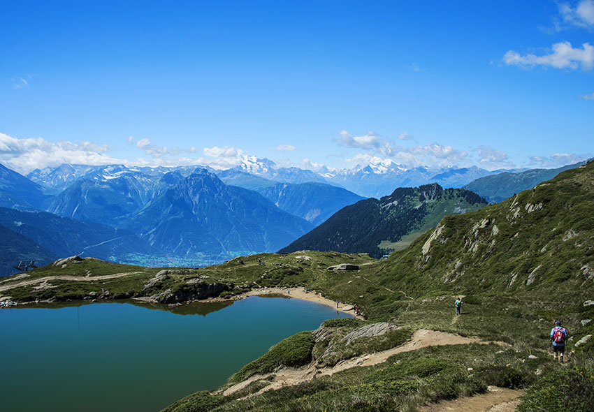
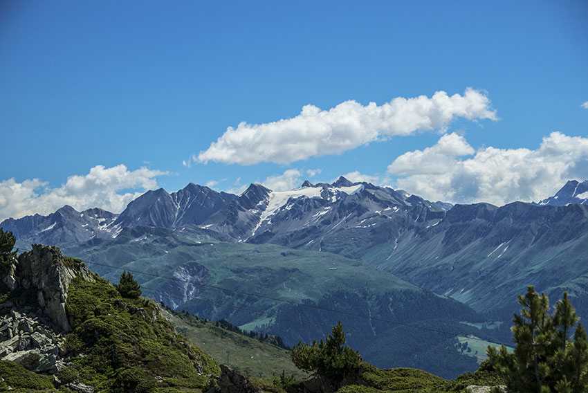
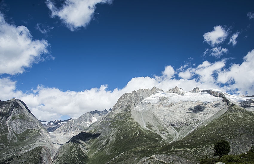
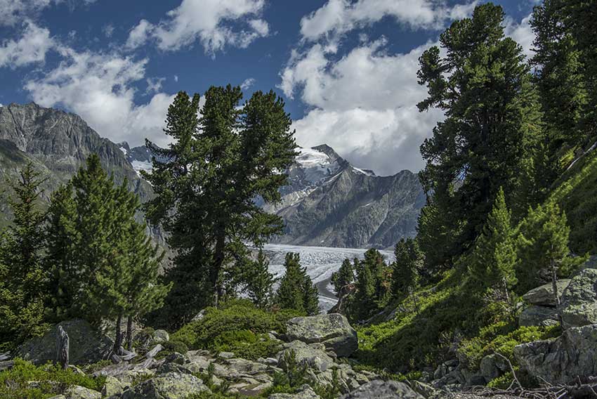
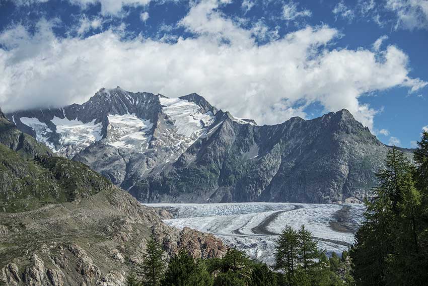
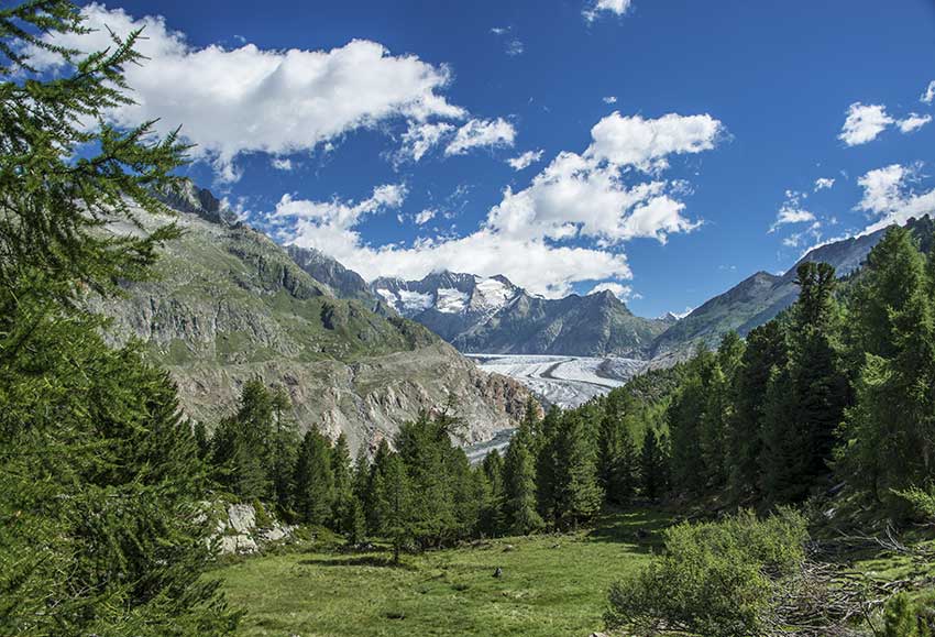
Aletsch / Arena

Location
Riederalp, in the Conches valley on the right bank of the Rhone from Mörel

Descriptif
Easy hike in the environment of the Aletsch Glacier

Total length
about 10 km

Walking time
3 to 4 hours

Elevation + et –
+/-500 meters

National hiking map 1:50’000
Jungfrau 264 T

Best period
June to October

Difficulty
T2 – T3
Useful information
Itinerary
From Ste Croix station, follow Aiguilles de Baulmes (south-east). After leaving Ste Croix and La Sagne, the route begins by following a football field on the right. Always follow Aiguilles de Baulmes up to a road that you have to follow uphill for a few tens of meters before continuing the route which enters the forest by a fairly steep climb. Once you arrive at the Mont-de-Baulmes restaurant, continue towards the Aiguilles de Baulmes and a first panorama with an orientation table to admire the landscape. Go back down about ten meters and follow the Aiguilles de Baulmes ridge. Always follow the path furthest to the left and closest to the cliff (no risk). After about 1.5 km, the route joins the place called “Les Caves Noires” which the bravest with a flashlight can take. The classic route continues along the cliff to the summit of the Aiguilles de Baulmes. Always follow the leftmost path and do not descend until you reach the top.
For the descent, follow the indications “Col de l’Aiguillon” descending by a fairly steep path through the forest (T3). At each junction, always follow the indications for La Gittaz, Ste Croix, La Sagne. Once the descent is over, the route (towards Ste Croix. La Sagne) first crosses a pasture and then a forest on a very pleasant path to the starting point.