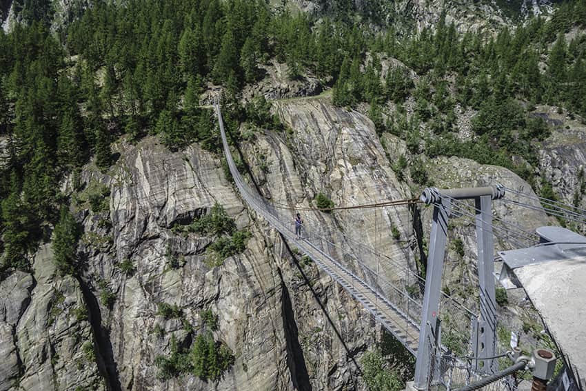
Aspi Titter suspension bridge

Location
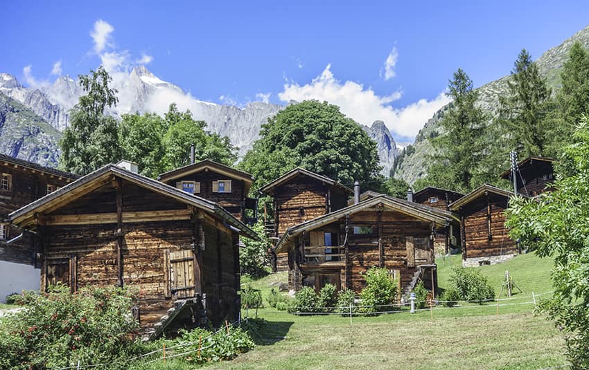
Valley of Conches, villages of Fiesch, Egga, Ried, Bellwald

Descriptif
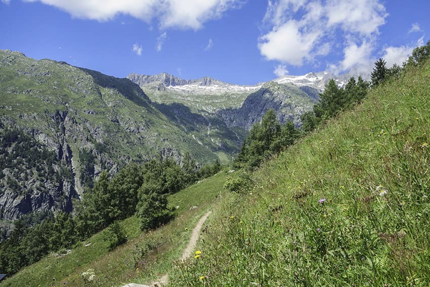
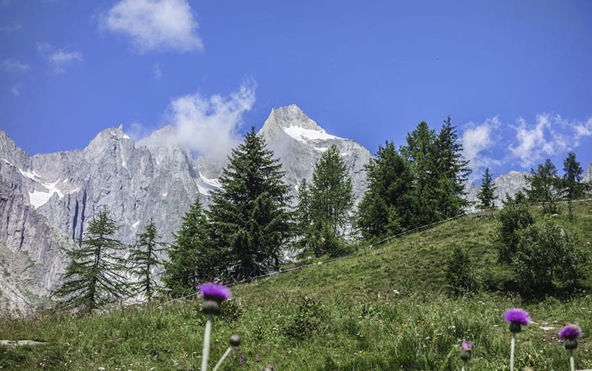
Beautiful hike in a region that exudes serenity and authenticity

Total length
about 7 km

Walking time
about 2-3 hours

Elevation + et –
+/- 550 meters
Altitude: between 1323 and 1827 meters

National hiking map 1:50’000
264 T Jungfrau and 265 T Nufenenpass

Best period
end of Mai to October

Difficulty
T3
Useful information
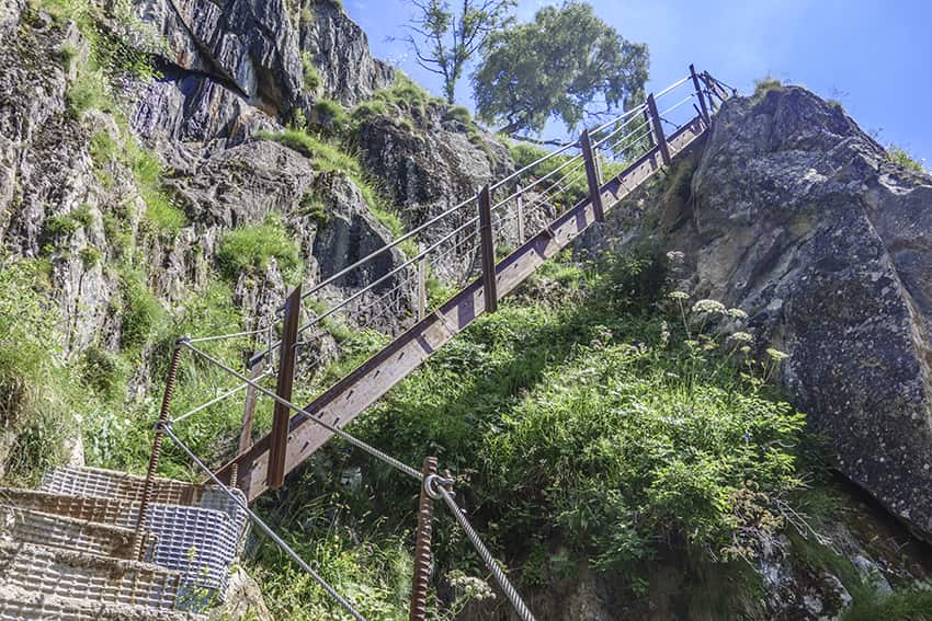
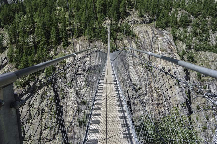
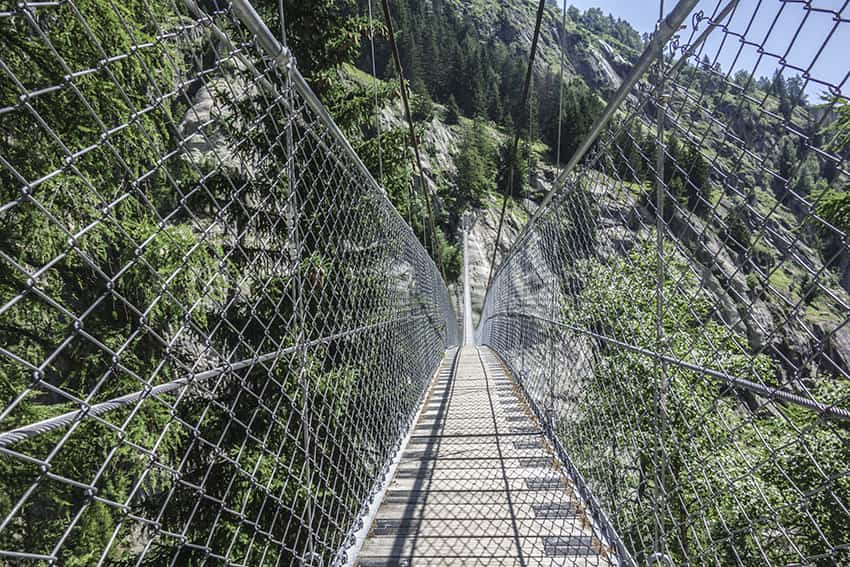
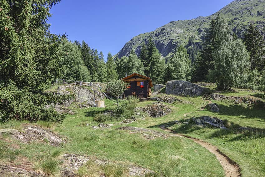
Very nice, not difficult hike with a spectacular suspension bridge to cross. After crossing the suspension bridge to take the climb, you should not suffer from vertigo. After this last climb, there are many places to organize a picnic. This route can be done in both directions.
Itinerary
Departure
Several starting point possible. By using public transport it is possible to start in the villages of Egga or Ried. By private vehicle it is also possible to start at the place called “Hobrigga” from Fiesh and take the roads “Fieschertalerstrasse and Zur Brüke” to the 3rd bridge over the river Wysswasser. The route described below starts in Egga from the hairpin bend in the main road.
Route
Take the downhill path that begins in the hairpin bend towards the Wysswasser river and the directions Titter, Hangebrücke, etc. After crossing the river bridge go up towards Titter, Hangebrücke, etc. Always follow this direction until you reach the suspension bridge. The first slopes of the climb are quite rough and cross meadows and rocky ledges without particular difficulties. The path is well marked and well maintained.
After crossing the spectacular suspension bridge, a very steep climb of 200 meters of vertical drop crosses a forest and well secured rocky ledges. After the ascent, the route arrives over alp meadows. To reach Ried and Egga do not follow Bellwald, etc. but take a path that goes due south about fifty meters before the alpine chalet. The start of the path may not be obvious because it is trampled by cattle. It starts at the directional sign.
After 1.5 km, the route joins a tarmac road that we follow for about a hundred meters and which ends at an underground turbine plant. Continue for about 200 meters following the Stollenstrasse and turn right towards Fonnega to merge onto Riederstrasse which you follow in a southerly direction until the road ends in a cul-de-sac. Follow a downhill paved path that crosses a series of chalets towards Egga, Bodma, etc. until you reach a road that you have to cross to continue past the Eggerweg to reach the starting point of the hike.