Becs de Bosson Hut

Location
straddling the Val d’Hérens and the Val d’Anniviers

Descriptif
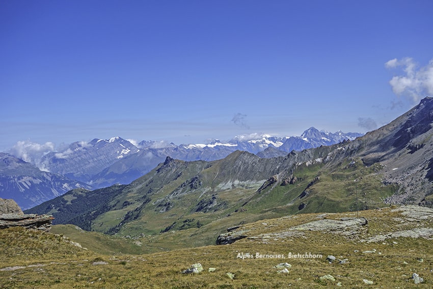
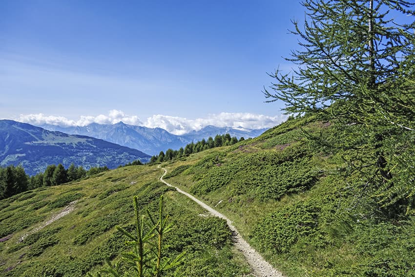
very nice hike with magnificent panoramas of the Bernese and Valais Alps

Total length
12 km

Walking time
approx. 5 hours

Elevation + et –
+/- 982 meters
Altitude: between 2,128and 2,985 meters,

National hiking map 1:50’000
273 T Montana

Best period
June to September

Difficulty
T3
Useful information
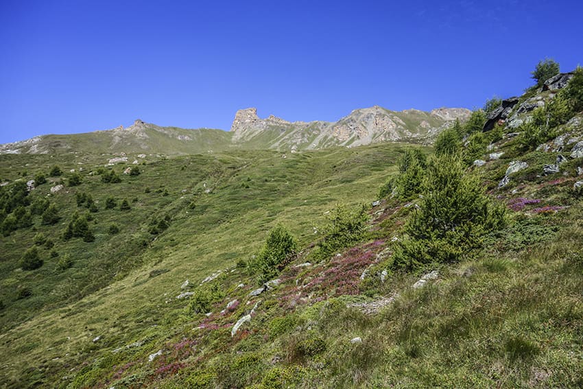
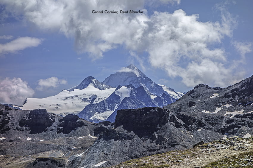
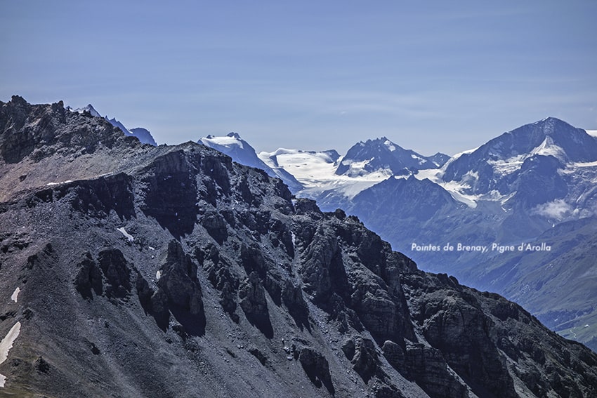
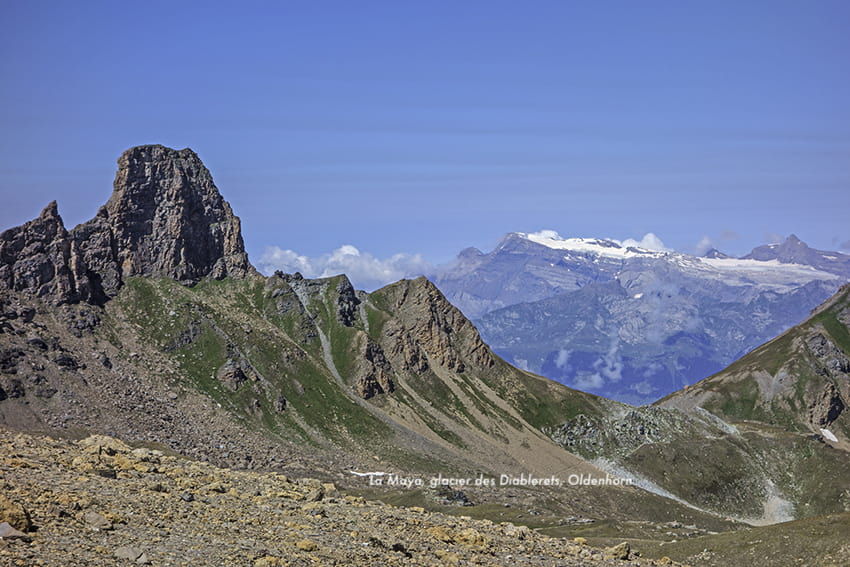
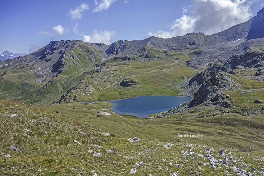
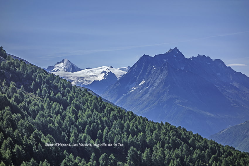
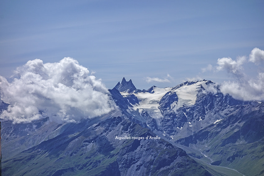
Very nice hike with a magnificent panorama of the imperial crown (Weisshorn, Zinalrothorn, Obergabelhorn, Dent Blanche, etc.). Between the Pas de Lovégno and the Tsevalire pass, the route crosses the heights of the Réchy valley and runs along the Louché lake. This hike can also start at Tsalet d´Eison, which is more easily accessible by vehicle from the village of Eison in the Val d’Hérens. In this case it takes a good hour of walking more.
Itinerary
Departure
From the village of Suen in the Val d’Hérens, take the road heading towards the Alpage de Loveignoz. After 4 km, the road is no longer asphalt and travel with a 4X4 vehicle is strongly recommended for the remaining 3 km. At the junction of Alpage de Loveignoz, continue for a few hundred meters and park the vehicle in the parking spaces provided for this purpose. The hike begins at an altitude of 2170. This hike can be done in both directions. The itinerary suggested below begins with the ascent of the Pas de Lovégno.
Route
From the 2170 altitude bridge, follow the signs “Pas de Lovégno”. Once at the pass, follow the direction “Becs de Bosson” by a path that runs along the eastern foothills of Maya. Once the alluvial plateau is reached at the bottom of the descent, take the path that climbs towards the Col de Tsevalire and reach the Becs de Bosson hut. From the hut, go down towards Pas de Lona and the La Veille pasture. In La Veille, follow the alpine road for 300 meters until the first hairpin bend. In the bend, go north-west towards Lovégno. Follow this path that runs along the western foothills of the Maya to the starting point.