Binntal – Mässersee

Location
Goms valley, on the left bank of the Rhône in the Binntal

Descriptif
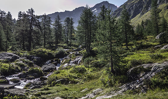
not very easy hiking that takes place in the landscaped park of Binntal. Region also known for its crystals

Total length
about 8 km

Walking time
3 to 4 hours

Elevation + et –
+/-700 meters

National hiking map 1:25’000
Wanderkarte Binntal (Veglia – Devero)

Best period
May to October

Difficulty
T3
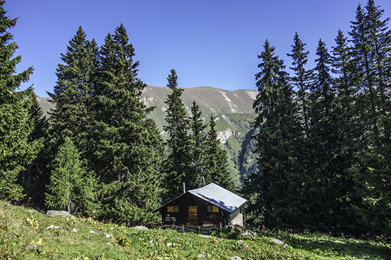
Useful information
There are some housing possibilities in Binn.
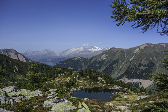
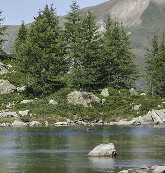
Itinerary
A few km after the village of Binn you reach the village of Fäld and the place called “Imfeld”. From this place traffic is prohibited and you park your vehicle (parking fee CHF 2.- / hour). Follow the road to the right of the Imfeld café for about 200 meters until you reach the path to Mässerschaller (signpost). The climb is quite rough. From this place follow: Mässersee. Schaplersee, Geisspfadesee. After about 1 km you arrive at a signpost “Mässersee, Manibode”. Follow Manibode for 1.5 km. The last 200 meters follow a very steep accordion path up to the junction of the path that branches off Geisspfadesee and Mässersee. There is no indication. Head West (direction Binntal) to reach a ridge from which you descend to Mässersee. Perfect place to picnic and swim for the bravest! After this break, walk along the path until you reach the junction with the signs “Mässerschaller, Mineraliengrube”. Follow “Minaraliengrube” and thereafter “Imfeld” to reach your starting point,