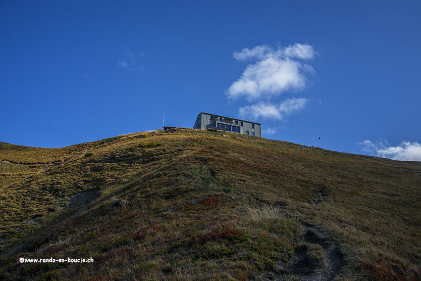
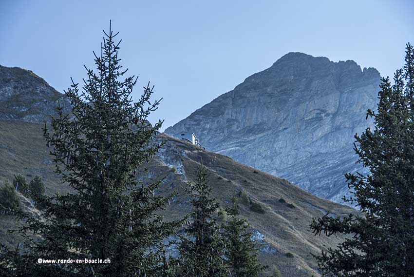
Tourche hut

Location
in line with Lavey-les-Bains, Morcles, right bank of the Rhône

Descriptif
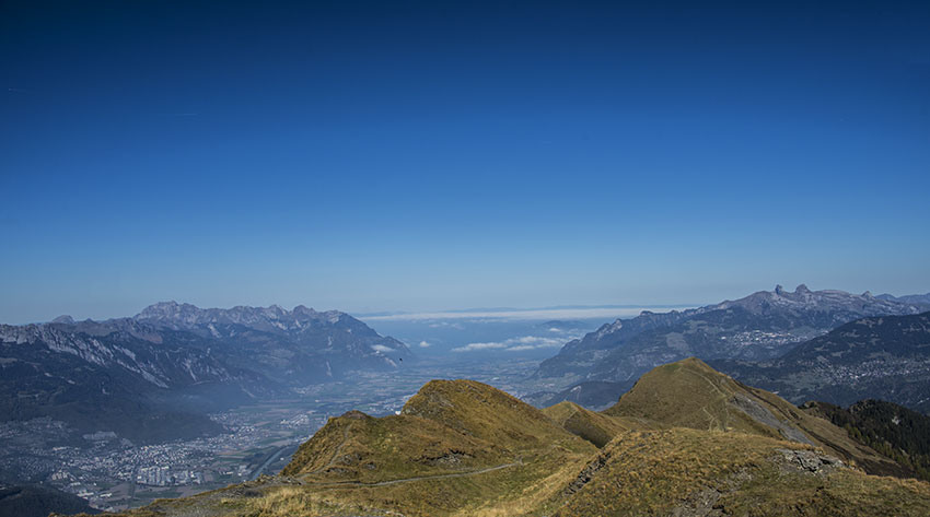
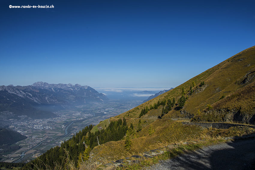
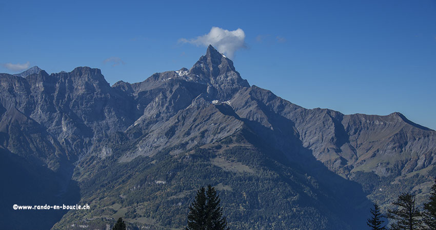
not difficult trek without particular problem. Very nice hike with a magnificent panorama on the region of Chablais and Lake Geneva.

Total length
about 8 km

Walking time
2 to 3 hours

Elevation + et –
+/-550 meters

National hiking map 1:50’000
272 T St Maurice

Best period
May to October

Difficulty
T3-
Useful information
From mid-October the mountain refuge is closed. The bridges on the return road are removed. The passage is possible down to the bed of torrents (not particularly difficult).
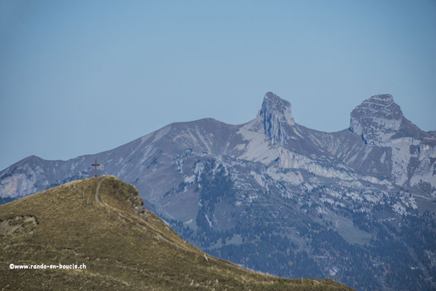
Itinerary
From Morcles join the car park which is 2 hairpin bends after the arrival of the ski lift. The road that joins this parking is no longer paved since the start of the ski lift. From the car park, follow the hiking trail immediately upstream of the road and always climb towards the Croix de Javerne and Tourche mountain refuge. When point 2060 is reached there is a 15 minute walk to reach the top of the Croix de Javerne. From this summit to the mountain refuge of La Touche it takes 30 minutes to walk. For the descent, follow the road south of the mountain refuge, which passes through the Grande Mayenne, to reach the starting point.