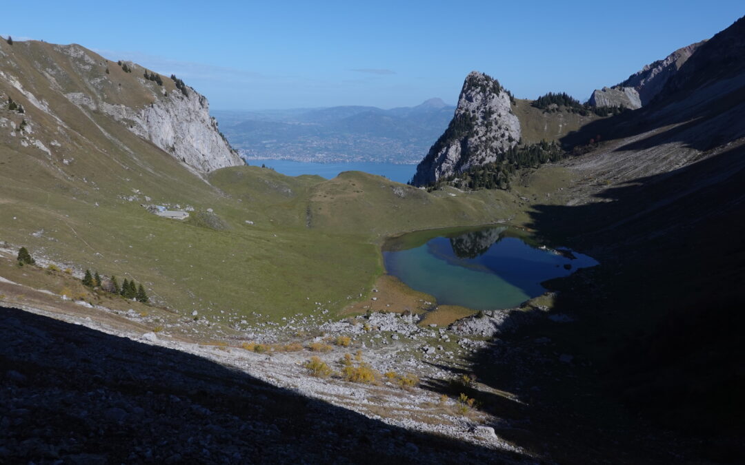
La Croix de la Lé Localisation Left bank of the Rhône above Bouveret and St Gingolph. Descriptif A technically easy trail from the plain to the summit of the Croix de la Lé, via the mythical Cornettes de Bise and Lac de Taney. Easy orientation and well-marked paths....
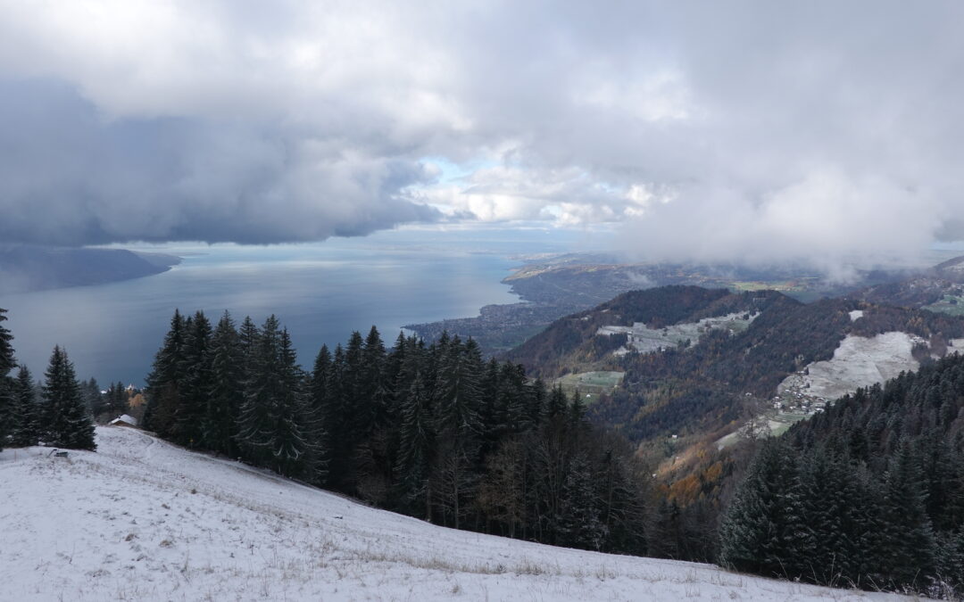
La Dent de Jaman Location Right bank of Lac Léman, canton Vaud, above Montreux / Glion / Caux. Descriptif Easy trail for those used to steep paths. Course in the pre-Alps, with exceptional views of Lake Geneva and its left bank, opposite the Croix de la Lé. A dream...
La Dotse Location Left bank of the Rhône, in the Bas-Valais, Val Ferret, above La Fouly. Descriptif Easy mountain trail with magnificent panoramic views, bordering Italy and nearby France. Total length 29 km-effort Walking time 13.45 km Elevation + et – +/-1142...
La Grande Garde Location Right bank of the Rhône, Valais-Central, in Ovronnaz above Leytron. Descriptif easy trail without any difficulties in orientation or techniques. Magnificent 180° opening onto the Rhône plain and the African tectonic plate. Enjoy the...
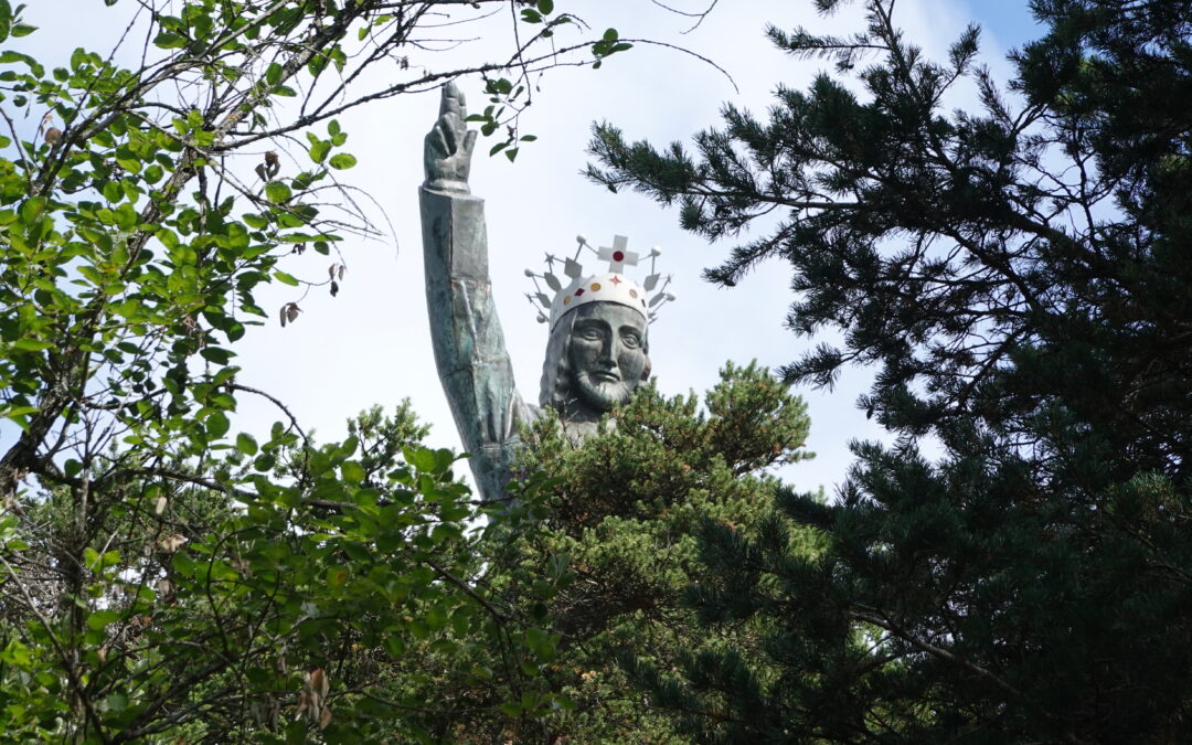
Le Christ – Roi Location Right bank of the Rhone above St Léonard, at the height of Lens. Descriptif Easy low altitude trail, between mountains and hills, in T2-T3 to start a season or keep fit. The trail runs along three different bisses (Clavau, Gd bisse de...
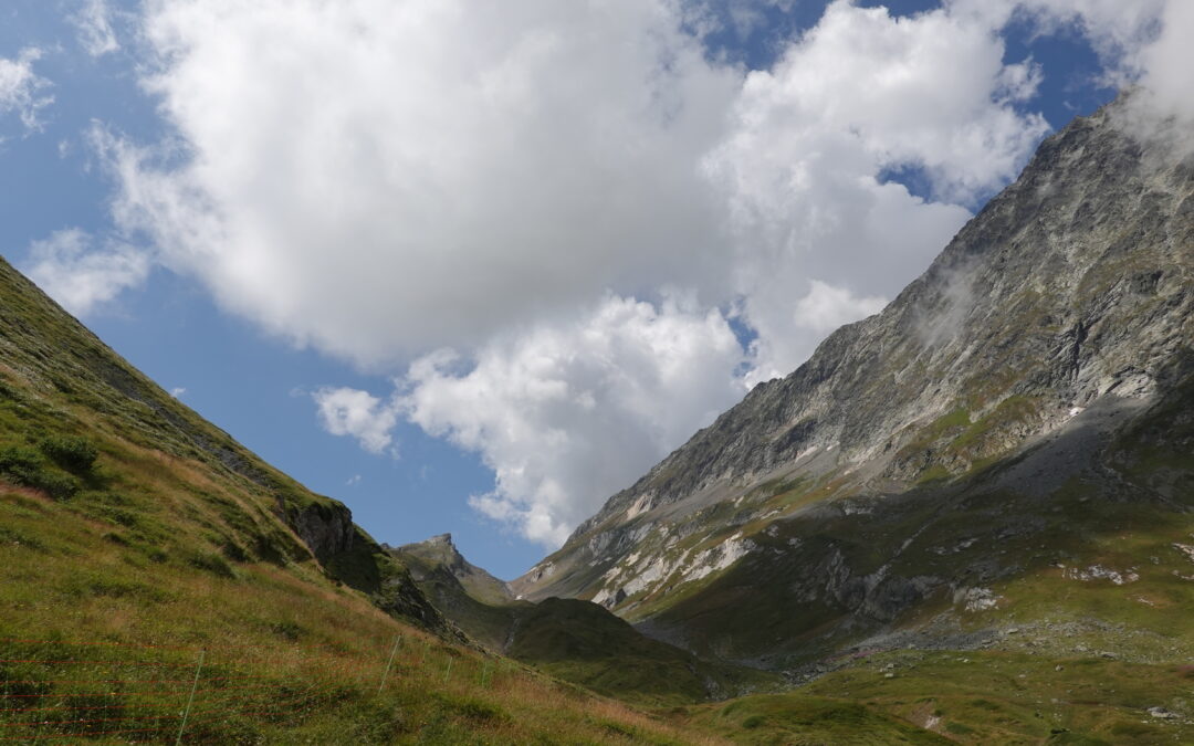
Le Galihorn Location Left bank of the Rhone, in the Upper Valais, on the Simplon road, above Gabi. Descriptif Medium mountain trail but requiring essential equipment such as a first aid kit, means of communication and orientation: the change of scenery is total....