Chandolin / Grande Remointze

Location
Val d’Anniviers above Sierre, left bank of the Rhône

Descriptif
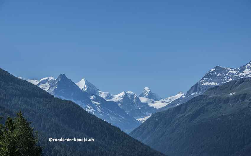
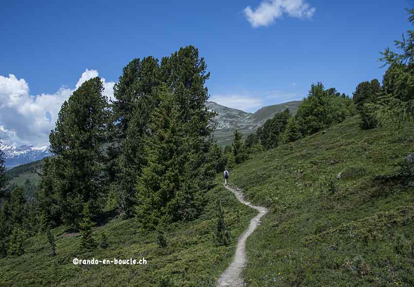
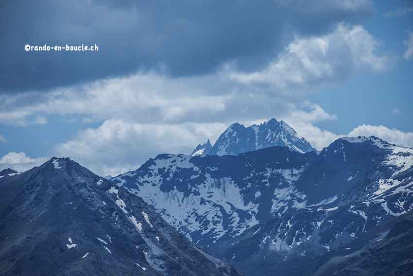
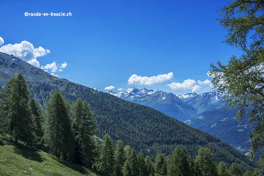
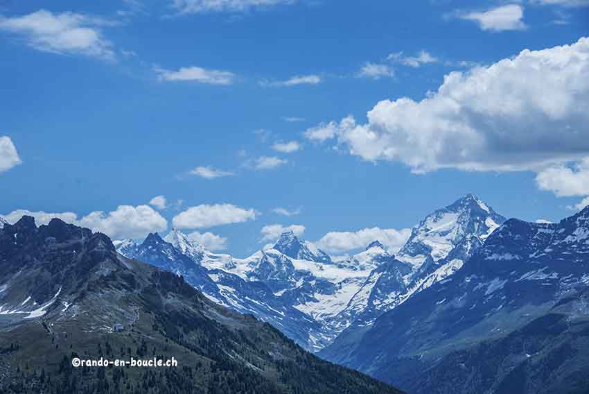
hiking not very difficult. No problem. Magnificent panorama of the Bernese Alps and the Matterhorn, the Dent Blanche, etc.

Total length
about 8 km

Walking time
3 to 4 hours

Elevation + et –
about 550 meters

National hiking map 1:50’000
273 T Montana

Best period
June to October

Difficulty
T2
Useful information
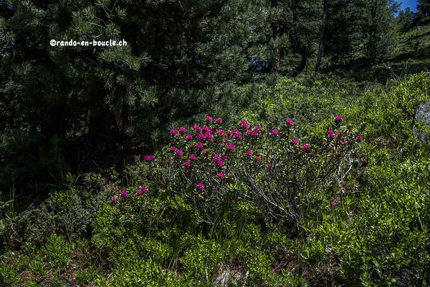
Chandolin is the highest inhabited village in Europe (2,000 meters above sea level). According to the weather conditions, between late June and early July you will have the pleasure of admiring whole fields of Rhododendrons in bloom and a little later to pick blueberries.
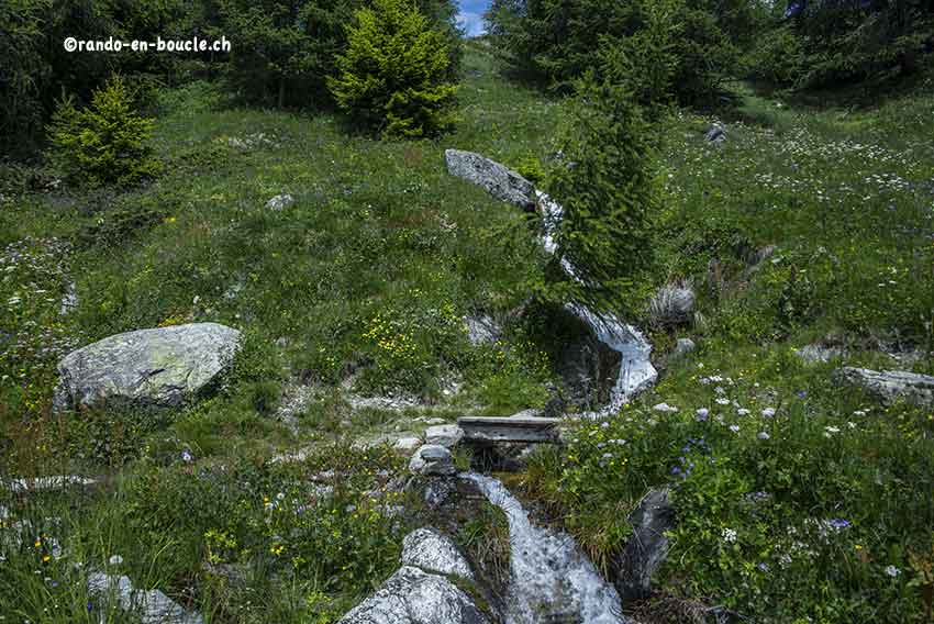
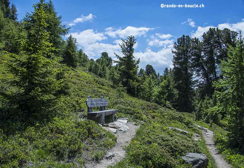
Itinerary
The hike begins exactly at the height of the communal house of Chandolin. Take direction Illhorn hut, Plan Losier. After 400 meters and a short climb, the path branches off to Plan Losier, Grande Remointze. Once at the Plan Lozier pasture continue to follow the hiking path to Grande Remointze which is the highest point of the route at 2368 meters. Enjoy a well-deserved break and admire the magnificent panorama. For the descent towards Tignousa, follow the path that passes between the buildings uphill to the small lake which is surmounted by a cross. Follow this path for 500 meters as if you were heading towards the Illpass to the junction to reach Tignousa. This path runs along the foothills of the ridge of Ombrintses and Rotze downhill. At the end of the path you join a mountain road that you follow first uphill and then downhill. After a few hundred meters downhill you join the junction for Chandolin, Par di Modzes. The path climbs very slightly and joins your starting point by crossing a magnificent forest of aroles and larches.