Dahu Tour / Anzère

Location
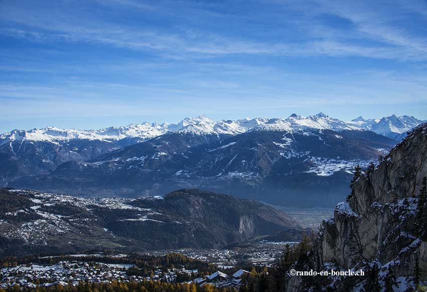
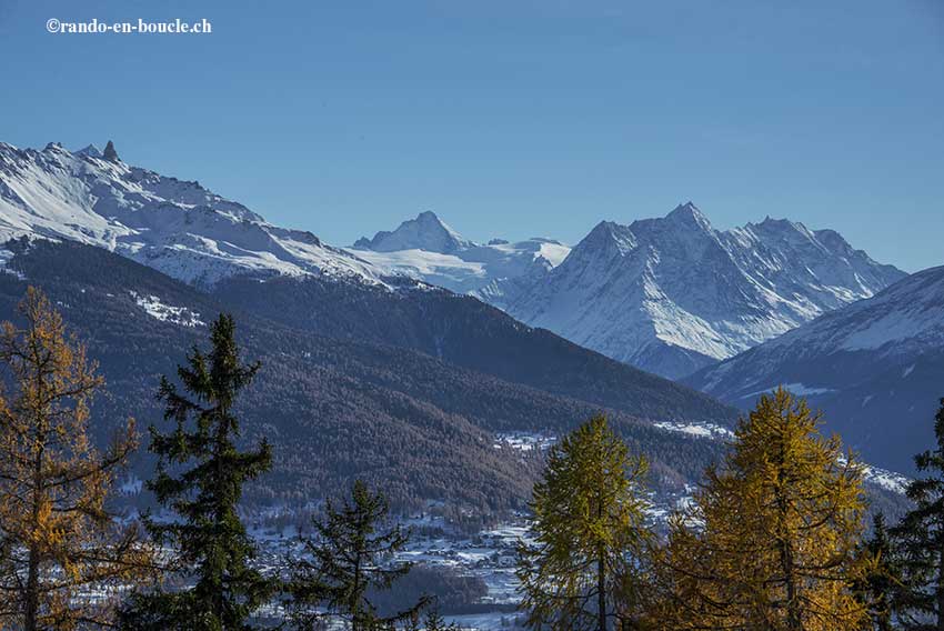
Anzère above Sion on the right bank of the Rhône

Descriptif
Snowshoeing itinerary. Hiking not very difficult, with a magnificent panorama of the Valais Alps. From the Trient massif to the Biesthhorn in the Bernese Alps.

Total length
about 10 km

Walking time
3 to 4 hours

Elevation + et –
+/-550 meters

National hiking map 1:50’000
273 T Montana

Best period
all year. Winter snowshoes and summer walk.

Difficulty
T3
Useful information
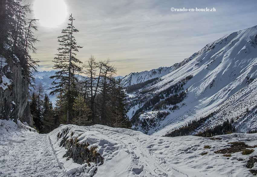
The first part of the route is very busy. Snowshoes are really necessary from the point 1964.
Itinerary
From the place of the Anzère gondola, follow “tour des Alpages” by a forest road that goes up to the point 1947. From this place, the route continues flat until the crossing of the ski slope and the gondola lift (point 1964). Take the direction “Tsalan d’Ayent” by a flat road heading west. Follow this road, initially flat and then uphill. The road crosses two ski lifts and ski slopes. At the point 2047, go down towards the combe of Duez and the Grillesses. In winter and with snowshoes, from Tsalan d’Arbaz, it is possible to cut directly towards the Alp of Tsalan and take the road that joins the general route to the Grillesses. From here, you can reach the starting point either by road or following the route of the Bisse de Sion (for this last variant, in winter it is more complicated).