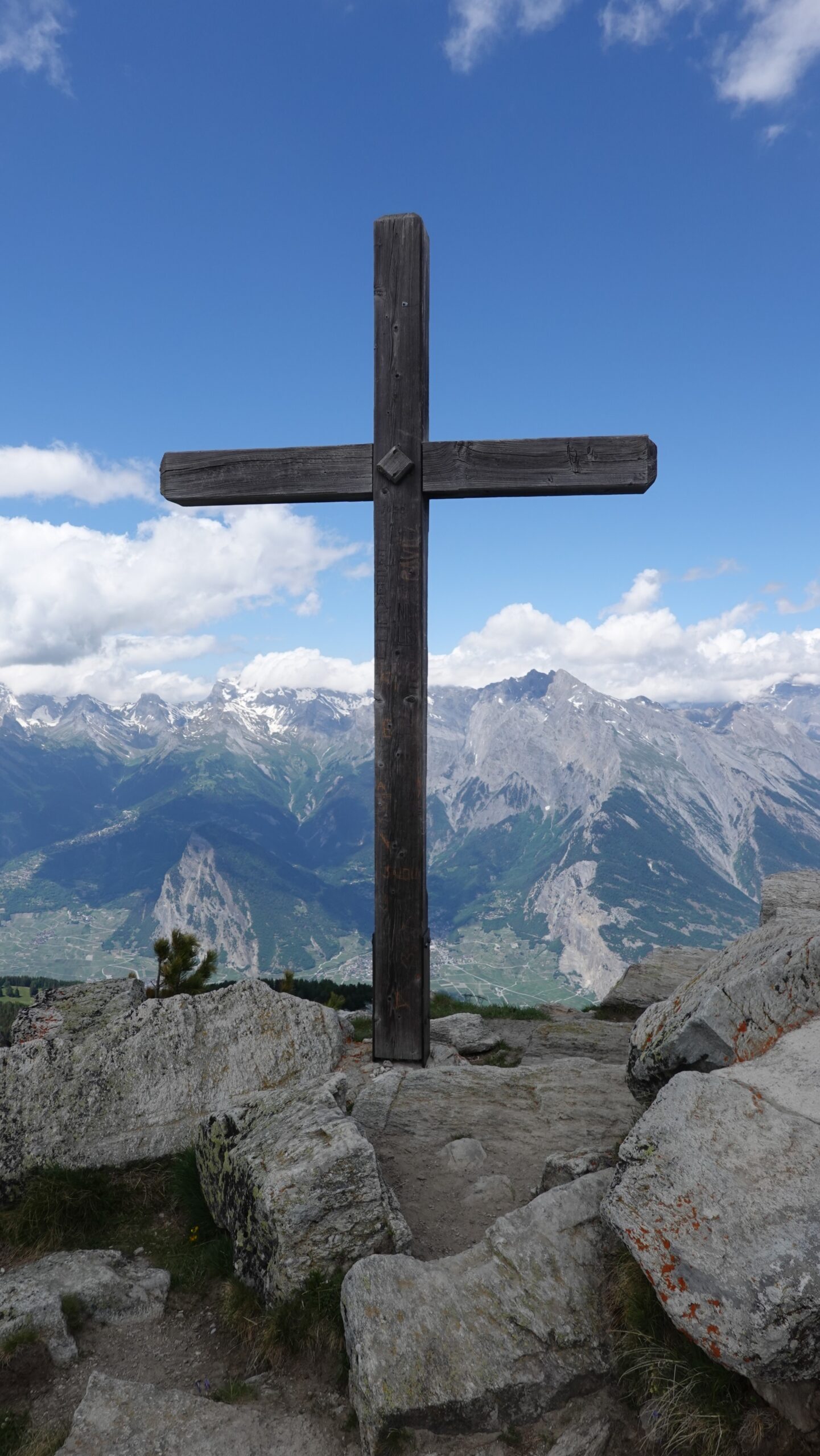
Dent de Nendaz

Ort
Rechtes Rhoneufer oberhalb Haute-Nendaz.

Beschreibung
T3-Alpenweg für Bergliebhaber. Einfaches Gelände mit einem teilweise mit Stufen ausgestatteten Grat zum Gipfel des Dent. Gut markierte Route ohne Orientierungsprobleme. Panorama über die Rhoneebene, einfach grandios.

Gesamtlänge
33 km-Aufwand

Wanderzeit
18,5 km

Höhenunterschied + et –
+/- 1092 m
Höhe: zwischen 1727 und 2462 m

National Wanderkarte 1:25’000
Sion 1306

Beste Periode
Juli bis Oktober

Schwierigkeitsgrad
T3
Praktische Informationen
Strecke
Von Haute-Nendaz gelangt man über die Kantonsstrasse zum Dorf Siviez und Ausgangspunkt (2‘590‘551/1‘109‘629/1728 m). Erreichen Sie die Bisse de Saxon auf 1800 m Höhe und wandern Sie weiter nach Dzeudet, dem Ausgangspunkt des Aufstiegs zur Alm von Siviez und dann zum Grand Alou. Le Basso markiert am Punkt 2337 den Beginn des Bergrückens, der genau nach Norden verläuft. Der Weg ist einfach, ohne hügelig zu sein. Auf der Dent de Nendaz ist das Spektakel grandios.
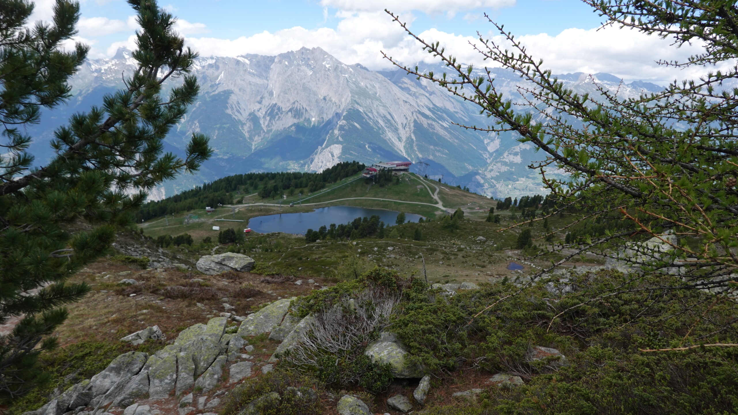
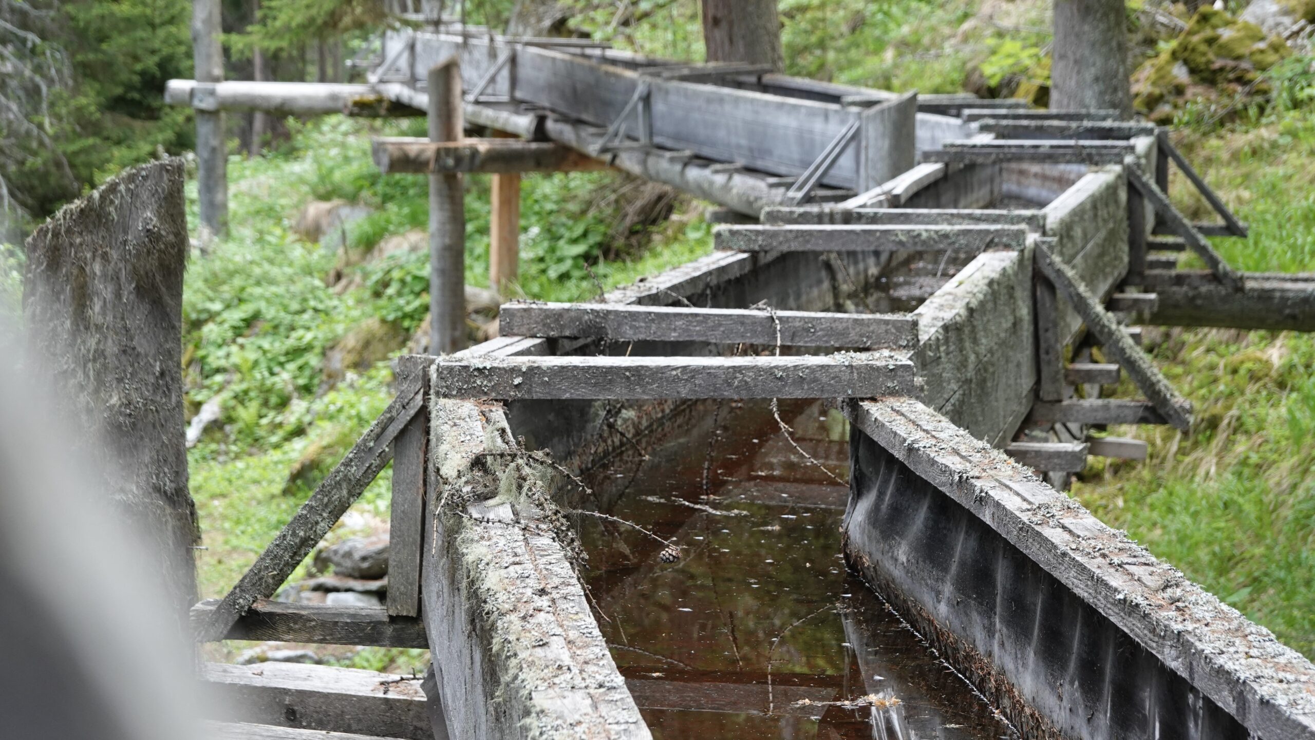
Der Abstieg erfolgt über den Weg, der unterhalb des Gipfels Richtung Westen über Geröllhalden verläuft. Der Abstieg zum Lac de Tracouet (Pkt. 2171) ist teilweise steil. genieße die Landschaft. Über die Skipiste gelangt man dann zum Croix de Jean-Pierre, um immer in westlicher Richtung weiterzugehen, Richtung Plan de Zerjona und schliesslich Pra da Dzeu am Punkt 1772, der von der Grand Bisse de Saxon überquert wird. Zurück geht es in nordöstlicher Richtung, wobei Sie der Suone auf ebener Strecke etwa 6,4 km nach Siviez folgen. Der kleine leichte Schritt auf dem Rückweg und auf der Suone bleibt etwas ganz Besonderes!